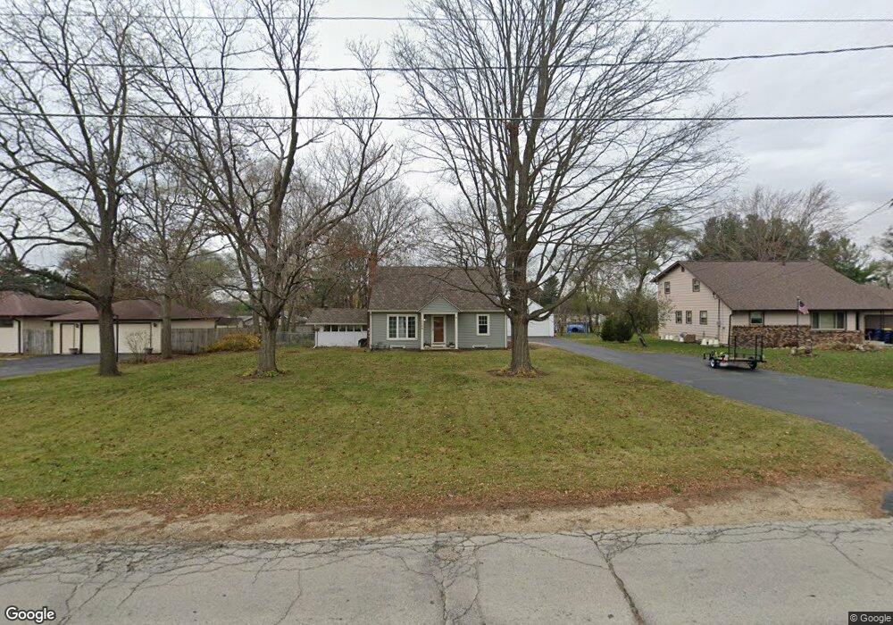
1106 N Blackhawk Blvd Rockton, IL 61072
Estimated Value: $175,368 - $204,000
2
Beds
1
Bath
960
Sq Ft
$198/Sq Ft
Est. Value
About This Home
This home is located at 1106 N Blackhawk Blvd, Rockton, IL 61072 and is currently estimated at $190,092, approximately $198 per square foot. 1106 N Blackhawk Blvd is a home located in Winnebago County with nearby schools including Rockton Elementary School, Whitman Post Elementary School, and Stephen Mack Middle School.
Ownership History
Date
Name
Owned For
Owner Type
Purchase Details
Closed on
Feb 25, 2022
Sold by
Jean Ross and Jean Amanda
Bought by
Cox Calvin R
Current Estimated Value
Home Financials for this Owner
Home Financials are based on the most recent Mortgage that was taken out on this home.
Original Mortgage
$113,090
Outstanding Balance
$105,212
Interest Rate
3.55%
Mortgage Type
New Conventional
Estimated Equity
$84,880
Purchase Details
Closed on
May 27, 2000
Bought by
Strand Amanda
Create a Home Valuation Report for This Property
The Home Valuation Report is an in-depth analysis detailing your home's value as well as a comparison with similar homes in the area
Home Values in the Area
Average Home Value in this Area
Purchase History
| Date | Buyer | Sale Price | Title Company |
|---|---|---|---|
| Cox Calvin R | $130,000 | Schlueter Ecklund & Davitt/Jh | |
| Strand Amanda | $20,000 | -- |
Source: Public Records
Mortgage History
| Date | Status | Borrower | Loan Amount |
|---|---|---|---|
| Open | Cox Calvin R | $113,090 |
Source: Public Records
Tax History Compared to Growth
Tax History
| Year | Tax Paid | Tax Assessment Tax Assessment Total Assessment is a certain percentage of the fair market value that is determined by local assessors to be the total taxable value of land and additions on the property. | Land | Improvement |
|---|---|---|---|---|
| 2024 | $3,119 | $47,247 | $8,697 | $38,550 |
| 2023 | $2,952 | $42,129 | $7,755 | $34,374 |
| 2022 | $2,789 | $38,488 | $7,085 | $31,403 |
| 2021 | $2,633 | $36,017 | $6,630 | $29,387 |
| 2020 | $2,586 | $34,873 | $6,419 | $28,454 |
| 2019 | $2,530 | $33,593 | $6,183 | $27,410 |
| 2018 | $2,319 | $32,018 | $5,893 | $26,125 |
| 2017 | $2,357 | $30,689 | $5,648 | $25,041 |
| 2016 | $2,231 | $29,683 | $5,463 | $24,220 |
| 2015 | $2,201 | $29,004 | $5,338 | $23,666 |
| 2014 | $2,402 | $29,004 | $5,338 | $23,666 |
Source: Public Records
Map
Nearby Homes
- 654 Winfield Dr
- 634 Cassandra Way
- 218 Shore Ln
- 14069 Hanna Way
- 14126 Kirane Ct
- 1912 Blackhawk Blvd
- 328 E Union St
- 14142 Surf Ct
- 202 N Bridge St
- 1526 Fern Ln
- 15361 S Bluff Rd
- 0000-04 Nautical Ct
- 0000-03 Nautical Ct
- 1531 Fern Ln
- 1527 Fern Ln
- 1523 Fern Ln
- 1523 Fern (Lots 38-42) Ln
- 214 Sauk Ridge Dr Unit 1
- 214 Sauk Ridge Dr Unit 18214
- 320 Liston Ave
- 1102 N Blackhawk Blvd
- 1110 N Blackhawk Blvd
- 407 Central Dr
- 1114 N Blackhawk Blvd
- 1105 Watts Ave
- 1016 N Blackhawk Blvd
- 1011 Watts Ave
- 1113 Watts Ave
- 1012 N Blackhawk Blvd
- 1204 N Blackhawk Blvd
- 1009 Watts Ave
- 1104 Watts Ave
- 1112 Watts Ave
- 1102 Watts Ave
- 1201 Watts Ave
- 1114 Watts Ave
- 1208 N Blackhawk Blvd
- 1007 Watts Ave
- 1205 N Blackhawk Blvd
- 1140 Watts Ave