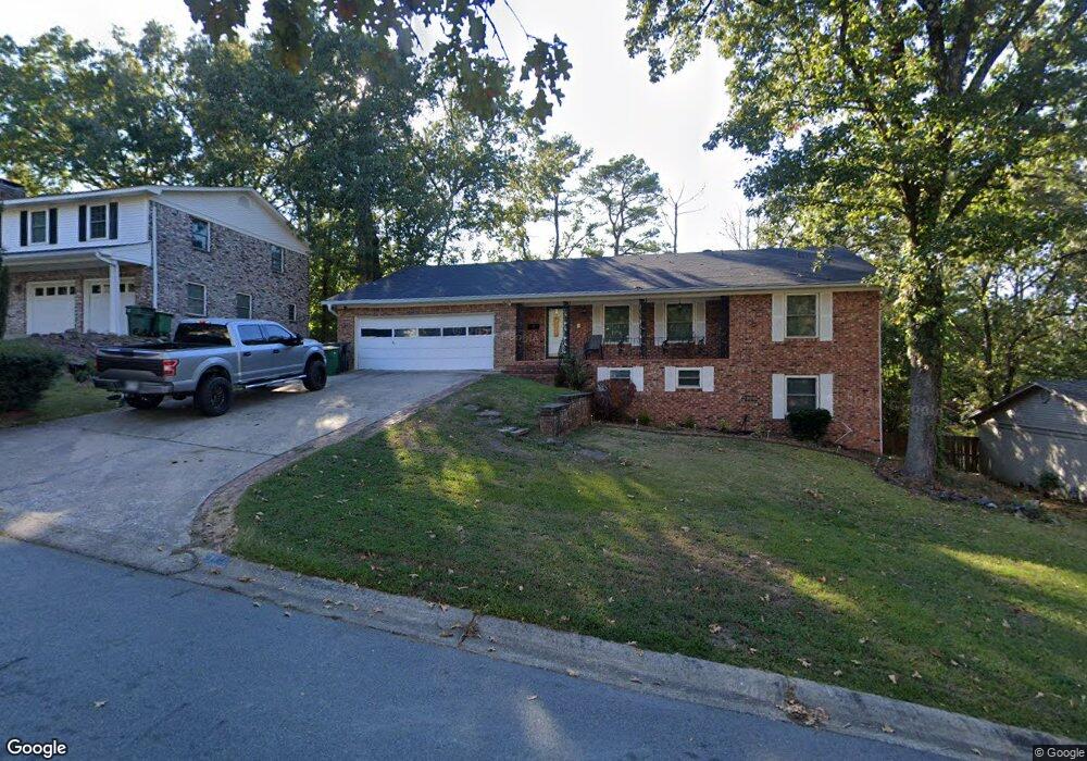
1106 Ronwood Dr Little Rock, AR 72227
Midtown Little Rock NeighborhoodEstimated Value: $334,888 - $376,000
--
Bed
4
Baths
2,882
Sq Ft
$123/Sq Ft
Est. Value
About This Home
This home is located at 1106 Ronwood Dr, Little Rock, AR 72227 and is currently estimated at $353,722, approximately $122 per square foot. 1106 Ronwood Dr is a home located in Pulaski County with nearby schools including Brady Elementary School, J.A. Fair K8 Preparatory School, and Henderson Middle School.
Ownership History
Date
Name
Owned For
Owner Type
Purchase Details
Closed on
Aug 4, 2010
Sold by
Threlkeld Ronald and Threlkeld Mary
Bought by
Easter Craig D and Easter Kirestin J
Current Estimated Value
Home Financials for this Owner
Home Financials are based on the most recent Mortgage that was taken out on this home.
Original Mortgage
$199,900
Outstanding Balance
$132,637
Interest Rate
4.69%
Mortgage Type
New Conventional
Estimated Equity
$221,085
Purchase Details
Closed on
Oct 19, 2009
Sold by
Cochran Bryant J and Cochran Hal
Bought by
Threlkeld Mary and Threlkeld Ronald
Purchase Details
Closed on
Aug 13, 2009
Sold by
Cochran Bryant J and Cochran Marguerite
Bought by
Cochran Bryant J and Cochran Hal
Create a Home Valuation Report for This Property
The Home Valuation Report is an in-depth analysis detailing your home's value as well as a comparison with similar homes in the area
Home Values in the Area
Average Home Value in this Area
Purchase History
| Date | Buyer | Sale Price | Title Company |
|---|---|---|---|
| Easter Craig D | $200,000 | First Arkansas Title | |
| Threlkeld Mary | $120,000 | None Available | |
| Cochran Bryant J | -- | None Available |
Source: Public Records
Mortgage History
| Date | Status | Borrower | Loan Amount |
|---|---|---|---|
| Open | Easter Craig D | $199,900 |
Source: Public Records
Tax History Compared to Growth
Tax History
| Year | Tax Paid | Tax Assessment Tax Assessment Total Assessment is a certain percentage of the fair market value that is determined by local assessors to be the total taxable value of land and additions on the property. | Land | Improvement |
|---|---|---|---|---|
| 2025 | $4,062 | $58,030 | $9,000 | $49,030 |
| 2024 | $3,753 | $58,030 | $9,000 | $49,030 |
| 2023 | $3,753 | $58,030 | $9,000 | $49,030 |
| 2022 | $3,582 | $58,030 | $9,000 | $49,030 |
| 2021 | $3,435 | $48,730 | $9,100 | $39,630 |
| 2020 | $3,036 | $48,730 | $9,100 | $39,630 |
| 2019 | $2,935 | $48,730 | $9,100 | $39,630 |
| 2018 | $2,816 | $48,730 | $9,100 | $39,630 |
| 2017 | $2,672 | $48,730 | $9,100 | $39,630 |
| 2016 | $2,878 | $41,110 | $7,800 | $33,310 |
| 2015 | $2,882 | $41,110 | $7,800 | $33,310 |
| 2014 | $2,882 | $41,110 | $7,800 | $33,310 |
Source: Public Records
Map
Nearby Homes
- 1204 Fawnwood Rd
- 8306 Louwanda Dr
- 814 Shea Dr
- 1211 Biscayne Dr
- 36 Flintwood Dr
- 1404 Biscayne Dr
- 1514 Alberta Dr
- 8 Evergreen Ct
- 40 Pamela Dr
- 8700 White Rock Ln
- 7 Erinwood Dr
- 22 Nob View Cir
- 14 Evergreen Ct
- 8702 White Rock Ln
- 3 Edgestone Dr
- 9 Brookfield Cove
- 24 Evergreen Ct
- 22 Nob Hill Cove
- 4 Flintwood Dr
- 7 Brookfield Cove
- 1100 Ronwood Dr
- 1112 Ronwood Dr
- 1107 Gillette Dr
- 1101 Gillette Dr
- 1120 Ronwood Dr
- 1107 Ronwood Dr
- 1115 Gillette Dr
- 1115 Ronwood Dr
- 8412 Leawood Blvd
- 1101 Ronwood Dr
- 8418 Leawood Blvd
- 1121 Ronwood Dr
- 1200 Ronwood Dr
- 0 Ronwood
- 8504 Leawood Blvd
- 1019 Ronwood Dr
- 1123 Gillette Dr
- 0 Gillette Dr Unit 16006213
- 0 Gillette Dr Unit 17015396
- 0 Gillette Dr Unit 17034311