11064 Randall Tract Ln Pollock Pines, CA 95726
Estimated Value: $432,000 - $463,000
3
Beds
2
Baths
1,362
Sq Ft
$325/Sq Ft
Est. Value
About This Home
This home is located at 11064 Randall Tract Ln, Pollock Pines, CA 95726 and is currently estimated at $442,200, approximately $324 per square foot. 11064 Randall Tract Ln is a home located in El Dorado County with nearby schools including El Dorado High School.
Ownership History
Date
Name
Owned For
Owner Type
Purchase Details
Closed on
Sep 25, 2024
Sold by
Popovich Michael A and Frizzell Jason
Bought by
Jessica Sliwerski Revocable Trust and Sliwerski
Current Estimated Value
Purchase Details
Closed on
Mar 17, 2021
Sold by
Popovich Michael A and Frizzell Jason
Bought by
Popovich Michael A and Frizzell Jason
Home Financials for this Owner
Home Financials are based on the most recent Mortgage that was taken out on this home.
Original Mortgage
$342,500
Interest Rate
2.7%
Mortgage Type
New Conventional
Purchase Details
Closed on
Jan 25, 2020
Sold by
Popovich Michael A and Popovich Kerri M
Bought by
Popovich Michael A and Frizzell Popovich Jason
Home Financials for this Owner
Home Financials are based on the most recent Mortgage that was taken out on this home.
Original Mortgage
$334,648
Interest Rate
4.25%
Mortgage Type
FHA
Purchase Details
Closed on
Jun 12, 2018
Sold by
Johnson Jemas D
Bought by
Popovich Michael A and Popovich Kerri M
Home Financials for this Owner
Home Financials are based on the most recent Mortgage that was taken out on this home.
Original Mortgage
$332,172
Interest Rate
5.5%
Mortgage Type
FHA
Purchase Details
Closed on
Nov 28, 2011
Sold by
Johnson Kelly
Bought by
Johnson James D
Home Financials for this Owner
Home Financials are based on the most recent Mortgage that was taken out on this home.
Original Mortgage
$179,550
Interest Rate
4.06%
Mortgage Type
New Conventional
Purchase Details
Closed on
Nov 11, 2011
Sold by
Covey Carey C and Covey Ina Satsuki
Bought by
Johnson James D
Home Financials for this Owner
Home Financials are based on the most recent Mortgage that was taken out on this home.
Original Mortgage
$179,550
Interest Rate
4.06%
Mortgage Type
New Conventional
Purchase Details
Closed on
Sep 21, 2005
Sold by
Savidge John R and Savidge Janice T
Bought by
Covey Carey C and Covey Ina Satsuki
Purchase Details
Closed on
Aug 18, 1999
Sold by
Savidge John R and Savidge Janice T
Bought by
Savidge John R and Savidge Janice T
Create a Home Valuation Report for This Property
The Home Valuation Report is an in-depth analysis detailing your home's value as well as a comparison with similar homes in the area
Home Values in the Area
Average Home Value in this Area
Purchase History
| Date | Buyer | Sale Price | Title Company |
|---|---|---|---|
| Jessica Sliwerski Revocable Trust | $426,000 | Placer Title | |
| Popovich Michael A | -- | Old Republic Title Company | |
| Popovich Michael A | $169,500 | Amrock Inc | |
| Popovich Michael A | $338,500 | Old Republic Title Company | |
| Johnson James D | -- | Placer Title Company | |
| Johnson James D | $199,500 | Placer Title Company | |
| Covey Carey C | $390,000 | Placer Title Company | |
| Savidge John R | -- | -- |
Source: Public Records
Mortgage History
| Date | Status | Borrower | Loan Amount |
|---|---|---|---|
| Previous Owner | Popovich Michael A | $342,500 | |
| Previous Owner | Popovich Michael A | $334,648 | |
| Previous Owner | Popovich Michael A | $335,116 | |
| Previous Owner | Popovich Michael A | $332,172 | |
| Previous Owner | Johnson James D | $179,550 | |
| Previous Owner | Savidge Ii John R | $55,000 |
Source: Public Records
Tax History Compared to Growth
Tax History
| Year | Tax Paid | Tax Assessment Tax Assessment Total Assessment is a certain percentage of the fair market value that is determined by local assessors to be the total taxable value of land and additions on the property. | Land | Improvement |
|---|---|---|---|---|
| 2025 | $3,978 | $426,000 | $126,000 | $300,000 |
| 2024 | $3,978 | $377,376 | $111,550 | $265,826 |
| 2023 | $3,899 | $369,977 | $109,363 | $260,614 |
| 2022 | $3,839 | $362,723 | $107,219 | $255,504 |
| 2021 | $3,784 | $355,612 | $105,117 | $250,495 |
| 2020 | $3,734 | $351,967 | $104,040 | $247,927 |
| 2019 | $3,675 | $345,066 | $102,000 | $243,066 |
| 2018 | $2,353 | $220,221 | $33,114 | $187,107 |
| 2017 | $2,293 | $215,904 | $32,465 | $183,439 |
| 2016 | $2,255 | $211,672 | $31,829 | $179,843 |
| 2015 | $2,178 | $208,494 | $31,351 | $177,143 |
| 2014 | $2,178 | $204,412 | $30,738 | $173,674 |
Source: Public Records
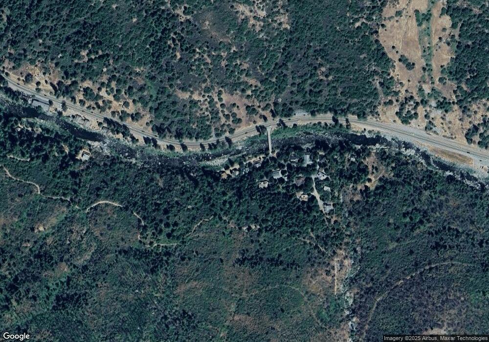
Map
Nearby Homes
- 10192 Bull Creek Rd
- 12554 30 Mile Stone Dr Unit 27
- 12710 30 Mile Stone Ln Unit 4
- 1 Road To Mandalay
- 1312 Squaw Rock Trail
- 0 Pickwick Unit 225101722
- 0 Pickwick Unit 224126719
- 0 Pickwick Unit 140988
- 11523 Pickwick St
- 99981 Mormon Emigrant Trail
- 11663 Kyburz Dr
- 8009 Spring Valley Rd
- 35-Acres Dos Lagos Ct
- 0 Juarez Rd Unit 224109876
- 6 Acres Peaceful Place
- 7501 Spring Valley Rd
- 34 34 Milestone Tract Unit 23
- 34 Milestone Tract Cabin 2 Trail
- 0 Sly Park Unit 41057072
- 34 Milestone Rd Unit 23
- 11064 Randall Tract Ln
- 11056 Randall Tract Ln
- 3024 Randall Tract Ln
- 3029 Randall Tract Ln
- 3026 Randall Tract Ln
- 3040 Randall Tract Ln
- 3050 Randall Tract Ln
- 3060 Randall Tract Ln
- 3035 Randall Tract Ln
- 3037 Randall Tract Ln
- 3039 Randall Tract Ln
- 3047 Randall Tract Ln
- 3053 Randall Tract Ln
- 11040 Randall Tract Ln
- 11128 U S 50
- 777 of Forebay Ln
- 0 Us Hwy 50 Unit 140205
- 10990 Highway 50
- 3025 Whitehall Rd
- 10972 Highway 50