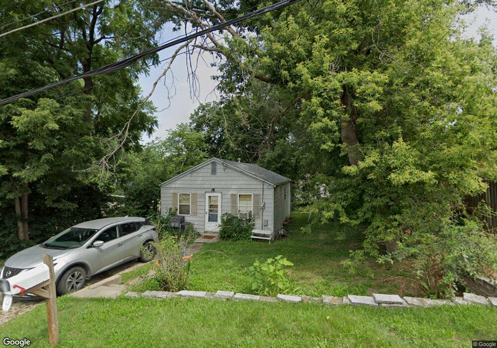
1107 Johnson St Des Moines, IA 50315
Watrous South NeighborhoodEstimated Value: $102,000 - $133,000
2
Beds
1
Bath
664
Sq Ft
$173/Sq Ft
Est. Value
About This Home
This home is located at 1107 Johnson St, Des Moines, IA 50315 and is currently estimated at $114,906, approximately $173 per square foot. 1107 Johnson St is a home located in Polk County with nearby schools including Morris Elementary School, Mccombs Middle School, and Lincoln High School.
Ownership History
Date
Name
Owned For
Owner Type
Purchase Details
Closed on
Apr 27, 2005
Sold by
Andreini Gilbert J and Andreini Jerrine J
Bought by
Olson Tina
Current Estimated Value
Home Financials for this Owner
Home Financials are based on the most recent Mortgage that was taken out on this home.
Original Mortgage
$57,715
Outstanding Balance
$30,304
Interest Rate
6.05%
Mortgage Type
Fannie Mae Freddie Mac
Estimated Equity
$84,602
Purchase Details
Closed on
Apr 6, 2004
Sold by
Gardner Wyline
Bought by
Andreini Gilbert J and Andreini Jerrine J
Create a Home Valuation Report for This Property
The Home Valuation Report is an in-depth analysis detailing your home's value as well as a comparison with similar homes in the area
Home Values in the Area
Average Home Value in this Area
Purchase History
| Date | Buyer | Sale Price | Title Company |
|---|---|---|---|
| Olson Tina | $59,000 | -- | |
| Andreini Gilbert J | $7,000 | -- |
Source: Public Records
Mortgage History
| Date | Status | Borrower | Loan Amount |
|---|---|---|---|
| Open | Olson Tina | $57,715 |
Source: Public Records
Tax History Compared to Growth
Tax History
| Year | Tax Paid | Tax Assessment Tax Assessment Total Assessment is a certain percentage of the fair market value that is determined by local assessors to be the total taxable value of land and additions on the property. | Land | Improvement |
|---|---|---|---|---|
| 2025 | $1,698 | $109,500 | $29,400 | $80,100 |
| 2024 | $1,698 | $96,800 | $25,700 | $71,100 |
| 2023 | $1,662 | $96,800 | $25,700 | $71,100 |
| 2022 | $1,648 | $79,400 | $21,000 | $58,400 |
| 2021 | $1,494 | $79,400 | $21,000 | $58,400 |
| 2020 | $1,548 | $68,500 | $18,100 | $50,400 |
| 2019 | $1,450 | $68,500 | $18,100 | $50,400 |
| 2018 | $1,430 | $62,500 | $16,100 | $46,400 |
| 2017 | $1,396 | $62,500 | $16,100 | $46,400 |
| 2016 | $1,354 | $60,100 | $15,300 | $44,800 |
| 2015 | $1,354 | $60,100 | $15,300 | $44,800 |
| 2014 | $1,388 | $63,100 | $15,700 | $47,400 |
Source: Public Records
Map
Nearby Homes
- 1115 Wade St
- 1115 Rittenhouse St
- 1029 Bundy St
- 1161 Bundy St
- 1010 Amos Ave
- 1313 Burnham Ave
- 7205 SW 13th St
- 1334 Wade St
- 1306 Amos Ave
- 1225 West St
- 7460 Southview Dr
- 7500 SW 12th St
- 6205 SW 12th St
- 1214 Leland Ave
- 7707 SW 10th Place
- 1310 Leland Ave
- 6107 SW 14th St
- 1500 Leland Ave
- 6001 SW 13th Place
- 6204 SW 5th St
- 1109 Johnson St
- 1111 Johnson St
- 1108 Rittenhouse St
- 1110 Rittenhouse St
- 1106 Rittenhouse St
- 1101 Johnson St
- 1112 Rittenhouse St
- 1110 Johnson St
- 1115 Johnson St
- 1108 Johnson St
- 1104 Rittenhouse St
- 1112 Johnson St
- 1104 Johnson St
- 1114 Johnson St
- 1102 Johnson St
- 1100 Rittenhouse St
- 1114 Rittenhouse St
- 1119 Johnson St
- 1100 Johnson St
- 1132 Johnson St