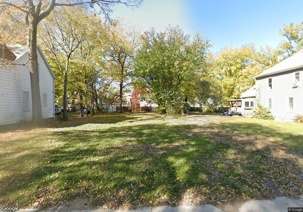
1107 N Frink St Peoria, IL 61606
West Bluff NeighborhoodEstimated Value: $69,728
5
Beds
2
Baths
3,404
Sq Ft
$20/Sq Ft
Est. Value
About This Home
This home is located at 1107 N Frink St, Peoria, IL 61606 and is currently estimated at $69,728, approximately $20 per square foot. 1107 N Frink St is a home located in Peoria County with nearby schools including Franklin Primary School, Harold B. Dawson Jr. Middle School, and Peoria High School.
Ownership History
Date
Name
Owned For
Owner Type
Purchase Details
Closed on
Jun 29, 2021
Sold by
City Of Peoria
Bought by
Moore Deonta and Bellemey Kathy
Current Estimated Value
Purchase Details
Closed on
Dec 7, 2020
Sold by
City Of Peoria
Bought by
Moore Deonta and Bellemey Kathy
Purchase Details
Closed on
Jun 27, 2018
Sold by
Minor Marc C
Bought by
Moore Deonta
Purchase Details
Closed on
Jul 20, 2011
Bought by
Covert Michael and Vilmos Joseph
Create a Home Valuation Report for This Property
The Home Valuation Report is an in-depth analysis detailing your home's value as well as a comparison with similar homes in the area
Home Values in the Area
Average Home Value in this Area
Purchase History
| Date | Buyer | Sale Price | Title Company |
|---|---|---|---|
| Moore Deonta | -- | None Listed On Document | |
| Moore Deonta | -- | None Listed On Document | |
| Moore Deonta | -- | Attorney Only | |
| Moore Deonta | -- | None Listed On Document | |
| Covert Michael | $20,000 | -- |
Source: Public Records
Tax History
| Year | Tax Paid | Tax Assessment Tax Assessment Total Assessment is a certain percentage of the fair market value that is determined by local assessors to be the total taxable value of land and additions on the property. | Land | Improvement |
|---|---|---|---|---|
| 2024 | -- | -- | -- | -- |
| 2023 | -- | -- | -- | -- |
| 2022 | $0 | $0 | $0 | $0 |
| 2021 | $592 | $0 | $0 | $0 |
| 2020 | $592 | $5,910 | $2,920 | $2,990 |
| 2019 | $601 | $6,030 | $2,980 | $3,050 |
| 2018 | $590 | $6,060 | $2,980 | $3,080 |
| 2017 | $590 | $6,120 | $3,010 | $3,110 |
| 2016 | $574 | $6,120 | $3,010 | $3,110 |
| 2015 | $550 | $6,000 | $2,950 | $3,050 |
| 2014 | $551 | $5,980 | $2,950 | $3,030 |
| 2013 | -- | $6,060 | $2,990 | $3,070 |
Source: Public Records
Map
Nearby Homes
- 911 W Russell St
- 1119 N Orange St
- 1113 W Columbia Terrace
- 1328 N Broadway St
- 1324 N Underhill St
- 1220 N University St
- 1402 N Broadway St
- 1404 N Broadway St
- 1219 N Sheridan Rd
- 723 W Armstrong Ave
- 1200 N Elmwood Ave
- 1309 W Columbia Terrace
- 1210 N Elmwood Ave
- 1409 N Cole Ct
- 1401 W Parkside Dr
- 1027 N Institute Place
- 919 W Moss Ave
- 515 W Armstrong Ave
- 501 W Columbia Terrace
- 528 W High St
- 1107 N Frink St Unit 9
- 1105 N Frink St
- 1115 N Frink St
- 1103 N Frink St
- 1117 N Frink St
- 1110 N Frink St
- 1106 N Frink St
- 1101 N Frink St
- 1120 N Frink St
- 1121 N Frink St
- 919 W Russell St
- 1013 W Russell St
- 1116 N Frink St
- 1123 N Frink St
- 915 W Russell St
- 1112 N Bourland Ave
- 1106 N Bourland Ave
- 1006 W Russell St
- 1201 N Frink St
- 1002 W Russell St
Your Personal Tour Guide
Ask me questions while you tour the home.