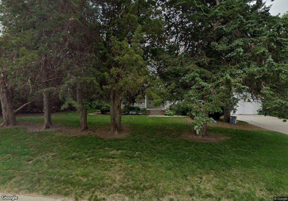
1107 S Carroll St Rock Rapids, IA 51246
Estimated Value: $322,180 - $384,000
Studio
1
Bath
2,376
Sq Ft
$147/Sq Ft
Est. Value
About This Home
This home is located at 1107 S Carroll St, Rock Rapids, IA 51246 and is currently estimated at $349,545, approximately $147 per square foot. 1107 S Carroll St is a home located in Lyon County with nearby schools including Central Lyon Elementary School, Central Lyon Senior High School, and Ignite Christian Academy.
Ownership History
Date
Name
Owned For
Owner Type
Purchase Details
Closed on
Dec 29, 2020
Sold by
Boom Chris and Boom Carol J
Bought by
Metzger Jerome R and Metzger Jana M
Current Estimated Value
Create a Home Valuation Report for This Property
The Home Valuation Report is an in-depth analysis detailing your home's value as well as a comparison with similar homes in the area
Home Values in the Area
Average Home Value in this Area
Purchase History
| Date | Buyer | Sale Price | Title Company |
|---|---|---|---|
| Metzger Jerome R | $221,000 | None Available |
Source: Public Records
Tax History
| Year | Tax Paid | Tax Assessment Tax Assessment Total Assessment is a certain percentage of the fair market value that is determined by local assessors to be the total taxable value of land and additions on the property. | Land | Improvement |
|---|---|---|---|---|
| 2025 | $4,016 | $309,690 | $54,600 | $255,090 |
| 2024 | $4,016 | $273,450 | $54,600 | $218,850 |
| 2023 | $2,768 | $202,200 | $54,600 | $147,600 |
| 2022 | $2,680 | $167,140 | $54,600 | $112,540 |
| 2021 | $2,680 | $167,140 | $54,600 | $112,540 |
| 2020 | $2,982 | $157,930 | $54,600 | $103,330 |
| 2019 | $2,860 | $145,890 | $0 | $0 |
| 2018 | $2,806 | $145,890 | $0 | $0 |
| 2017 | $2,806 | $128,810 | $0 | $0 |
| 2016 | $2,498 | $128,810 | $0 | $0 |
| 2015 | $2,498 | $128,867 | $0 | $0 |
| 2014 | $2,502 | $128,867 | $0 | $0 |
Source: Public Records
Map
Nearby Homes
- 903 S Jansen St
- 1400 S Greene St
- 1009 S Tama St
- 709 S Carroll St
- 204 S 15th Ave
- 104 Cedar Ln
- 708 S Story St
- 1100 S 6th Ave
- 507 S Greene St
- 904 Davis St
- 1104 S 6th Ave
- 1004 S 6th Ave
- 1102 S 6th Ave
- 1002 S 6th Ave
- 410 S Union St
- 406 S Adams St
- 305 S Adams St
- 307 S Union St
- 304 S Greene St
- 707 Mill Pond Rd
- 1105 S Carroll St
- 1109 S Carroll St
- 1100 Magnolia Ln
- 1101 S Carroll St
- 1009 S Carroll St
- 1108 S Carroll St
- 1108 S Carroll St
- 1006 S Carroll St
- 1201 S Carroll St
- 510 S 12th Ave
- 1004 S Carroll St
- 104 Oleary Ln
- 1005 S Carroll St
- 508 S 12th Ave
- 704 S 12th Ave
- 1203 S Carroll St
- 107 Oleary Ln
- 1002 S Carroll St
- 506 S 12th Ave
- 1204 S Carroll St
Your Personal Tour Guide
Ask me questions while you tour the home.