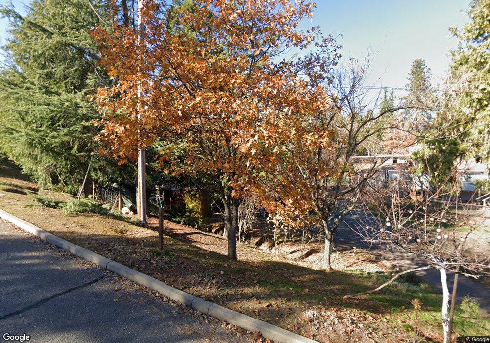
1108 Anderson Ct Placerville, CA 95667
Estimated Value: $403,000 - $469,000
3
Beds
2
Baths
1,344
Sq Ft
$329/Sq Ft
Est. Value
About This Home
This home is located at 1108 Anderson Ct, Placerville, CA 95667 and is currently estimated at $441,869, approximately $328 per square foot. 1108 Anderson Ct is a home located in El Dorado County with nearby schools including El Dorado High School, Country Day Montessori, and El Dorado Adventist School.
Ownership History
Date
Name
Owned For
Owner Type
Purchase Details
Closed on
Dec 21, 2005
Sold by
Heriman Leroy
Bought by
Heriman Leroy and Heriman Starleen
Current Estimated Value
Home Financials for this Owner
Home Financials are based on the most recent Mortgage that was taken out on this home.
Original Mortgage
$126,000
Outstanding Balance
$70,414
Interest Rate
6.27%
Mortgage Type
Fannie Mae Freddie Mac
Estimated Equity
$371,455
Create a Home Valuation Report for This Property
The Home Valuation Report is an in-depth analysis detailing your home's value as well as a comparison with similar homes in the area
Home Values in the Area
Average Home Value in this Area
Purchase History
We collect this data history from publicly available records. To have your information removed, we recommend requesting removal directly through your county’s website.
| Date | Buyer | Sale Price | Title Company |
|---|---|---|---|
| Heriman Leroy | -- | -- | |
| Heriman Leroy | -- | Placer Title Company | |
| Heriman Leroy | $369,000 | Placer Title Company |
Source: Public Records
Mortgage History
We collect this data history from publicly available records. To have your information removed, we recommend requesting removal directly through your county’s website.
| Date | Status | Borrower | Loan Amount |
|---|---|---|---|
| Open | Heriman Leroy | $126,000 |
Source: Public Records
Tax History
| Year | Tax Paid | Tax Assessment Tax Assessment Total Assessment is a certain percentage of the fair market value that is determined by local assessors to be the total taxable value of land and additions on the property. | Land | Improvement |
|---|---|---|---|---|
| 2025 | $3,203 | $309,000 | $146,500 | $162,500 |
| 2024 | $3,203 | $309,000 | $146,500 | $162,500 |
| 2023 | $3,228 | $309,000 | $146,500 | $162,500 |
| 2022 | $3,245 | $309,000 | $146,500 | $162,500 |
| 2021 | $3,272 | $309,000 | $146,500 | $162,500 |
| 2020 | $3,256 | $309,000 | $146,500 | $162,500 |
| 2019 | $3,280 | $309,000 | $146,500 | $162,500 |
| 2018 | $3,247 | $309,000 | $146,500 | $162,500 |
| 2017 | $2,974 | $282,000 | $133,500 | $148,500 |
| 2016 | $2,272 | $215,000 | $102,000 | $113,000 |
| 2015 | $2,241 | $215,000 | $102,000 | $113,000 |
| 2014 | $2,181 | $209,000 | $89,000 | $120,000 |
Source: Public Records
Map
Nearby Homes
- 2725 Clay St
- 2940 Anderson Way
- 2921 Miller Way
- 2873 Anderson Way
- 1000 Utah Dr
- 1017 Utah Dr
- 1002 Utah Dr
- 2852 Hocking St
- 2911 Clay St
- 945 Crawford Drift Ct
- 944 Crawford Drift Ct
- 1278 Rosier St
- 2532 Golden Eagle Dr
- 678 Main St
- 0 Lincoln Aly
- 1344 Village Ln
- 1380 Katie Ln
- 3072 Spanish Ravine Rd
- 2655 Mona Dr
- 2624 Liberty Mine Ct
- 1102 Anderson Ct
- 1114 Anderson Ct
- 1113 Anderson Ct
- 1120 Anderson Ct
- 2919 Anderson Way
- 2714 Clay St
- 1117 Anderson Ct
- 1130 Indian Hill Rd
- 3005 Constellation Ave
- 1121 Anderson Ct
- 3003 Constellation Ave
- 1110 Indian Hill Rd
- 2915 Anderson Way
- 2816 Pennsylvania Ct
- 2929 Anderson Way
- 2810 Pennsylvania Ct
- 2914 Anderson Way
- 3010 Constellation Ave
- 3008 Constellation Ave
- 2911 Anderson Way
Your Personal Tour Guide
Ask me questions while you tour the home.