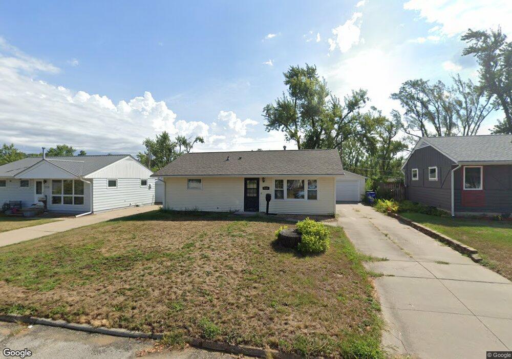
1108 Brockman Dr SE Cedar Rapids, IA 52403
Estimated Value: $140,964 - $159,000
3
Beds
1
Bath
864
Sq Ft
$176/Sq Ft
Est. Value
About This Home
This home is located at 1108 Brockman Dr SE, Cedar Rapids, IA 52403 and is currently estimated at $151,741, approximately $175 per square foot. 1108 Brockman Dr SE is a home located in Linn County with nearby schools including Summit Elementary School, Erskine Elementary School, and McKinley STEAM Academy.
Ownership History
Date
Name
Owned For
Owner Type
Purchase Details
Closed on
Oct 30, 2009
Sold by
Moore Frederick R and Moore Jane E
Bought by
Kramer Diane L
Current Estimated Value
Home Financials for this Owner
Home Financials are based on the most recent Mortgage that was taken out on this home.
Original Mortgage
$90,726
Outstanding Balance
$59,573
Interest Rate
5.11%
Mortgage Type
FHA
Estimated Equity
$92,168
Create a Home Valuation Report for This Property
The Home Valuation Report is an in-depth analysis detailing your home's value as well as a comparison with similar homes in the area
Home Values in the Area
Average Home Value in this Area
Purchase History
| Date | Buyer | Sale Price | Title Company |
|---|---|---|---|
| Kramer Diane L | $92,000 | None Available |
Source: Public Records
Mortgage History
| Date | Status | Borrower | Loan Amount |
|---|---|---|---|
| Open | Kramer Diane L | $90,726 |
Source: Public Records
Tax History Compared to Growth
Tax History
| Year | Tax Paid | Tax Assessment Tax Assessment Total Assessment is a certain percentage of the fair market value that is determined by local assessors to be the total taxable value of land and additions on the property. | Land | Improvement |
|---|---|---|---|---|
| 2025 | $1,814 | $124,400 | $29,300 | $95,100 |
| 2024 | $1,916 | $122,400 | $29,300 | $93,100 |
| 2023 | $1,916 | $113,000 | $26,700 | $86,300 |
| 2022 | $1,798 | $99,700 | $24,000 | $75,700 |
| 2021 | $1,794 | $95,800 | $24,000 | $71,800 |
| 2020 | $1,794 | $89,900 | $18,700 | $71,200 |
| 2019 | $1,674 | $86,200 | $18,700 | $67,500 |
| 2018 | $1,546 | $86,200 | $18,700 | $67,500 |
| 2017 | $1,590 | $81,500 | $18,700 | $62,800 |
| 2016 | $1,705 | $80,200 | $18,700 | $61,500 |
| 2015 | $1,741 | $81,796 | $18,673 | $63,123 |
| 2014 | $1,556 | $81,796 | $18,673 | $63,123 |
| 2013 | $1,518 | $81,796 | $18,673 | $63,123 |
Source: Public Records
Map
Nearby Homes
- 1111 Brockman Dr SE
- 1241 38th St SE
- 3630 Mt Vernon Rd SE Unit 6
- 1013 36th St SE
- 707 40th St SE
- TBD 42nd St SE
- 1401 Harold Dr SE
- 1331 34th St SE
- 654 34th St SE
- 3600 Bel Air Dr SE
- 1310 42nd St SE
- 1310 42nd St SE Unit LotWP001
- 651 34th St SE
- 811 E Post Rd SE
- 2227 Kestrel Dr SE
- 2403 Kestrel Dr SE
- 2416 Kestrel Dr SE
- 2226 Kestrel Dr SE
- 2409 Kestrel Dr SE
- 2421 Kestrel Dr SE
- 1104 Brockman Dr SE
- 1112 Brockman Dr SE
- 1107 38th St SE
- 1118 Brockman Dr SE
- 1100 Brockman Dr SE
- 1105 38th St SE
- 1111 38th St SE
- 1101 38th St SE
- 1117 38th St SE
- 1107 Brockman Dr SE
- 1122 Brockman Dr SE
- 1103 Brockman Dr SE
- 1006 Brockman Dr SE
- 1117 Brockman Dr SE
- 1123 38th St SE
- 1101 Brockman Dr SE
- 1025 38th St SE
- 1123 Brockman Dr SE
- 1019 Brockman Dr SE
- 1200 Brockman Dr SE