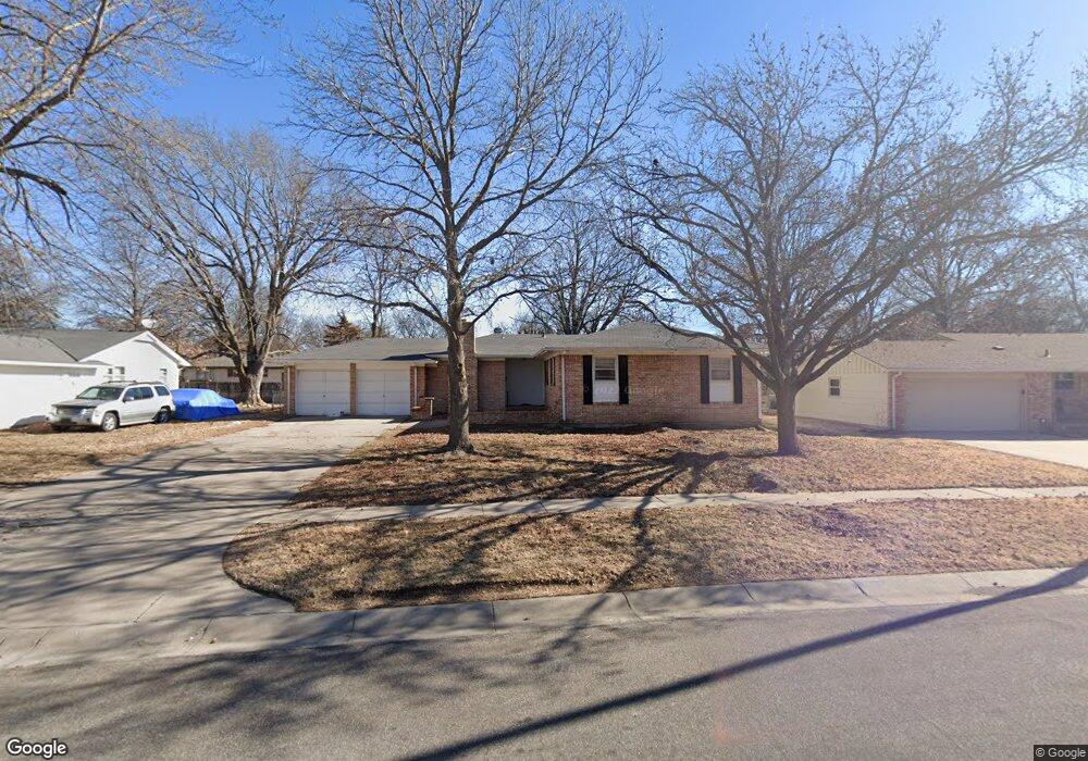
1108 S Apache Dr Wichita, KS 67207
Eastridge NeighborhoodEstimated Value: $209,928 - $221,000
4
Beds
2
Baths
2,593
Sq Ft
$83/Sq Ft
Est. Value
About This Home
This home is located at 1108 S Apache Dr, Wichita, KS 67207 and is currently estimated at $215,464, approximately $83 per square foot. 1108 S Apache Dr is a home located in Sedgwick County with nearby schools including Clark Elementary School, Allen Elementary School, and Curtis Middle School.
Ownership History
Date
Name
Owned For
Owner Type
Purchase Details
Closed on
Feb 25, 2020
Sold by
Lyon Mitchell T and Lyon Mitch T
Bought by
Lyon Mitchell T and The Mitchell T Lyon Revocable
Current Estimated Value
Purchase Details
Closed on
Mar 31, 2010
Sold by
Pirner Ruth E
Bought by
Lyon Mitch T
Home Financials for this Owner
Home Financials are based on the most recent Mortgage that was taken out on this home.
Original Mortgage
$80,250
Outstanding Balance
$53,449
Interest Rate
5%
Mortgage Type
Future Advance Clause Open End Mortgage
Estimated Equity
$162,015
Create a Home Valuation Report for This Property
The Home Valuation Report is an in-depth analysis detailing your home's value as well as a comparison with similar homes in the area
Home Values in the Area
Average Home Value in this Area
Purchase History
| Date | Buyer | Sale Price | Title Company |
|---|---|---|---|
| Lyon Mitchell T | -- | None Available | |
| Lyon Mitch T | -- | Security 1St Title |
Source: Public Records
Mortgage History
| Date | Status | Borrower | Loan Amount |
|---|---|---|---|
| Open | Lyon Mitch T | $80,250 |
Source: Public Records
Tax History Compared to Growth
Tax History
| Year | Tax Paid | Tax Assessment Tax Assessment Total Assessment is a certain percentage of the fair market value that is determined by local assessors to be the total taxable value of land and additions on the property. | Land | Improvement |
|---|---|---|---|---|
| 2025 | $1,468 | $15,778 | $4,002 | $11,776 |
| 2023 | $1,468 | $12,713 | $2,450 | $10,263 |
| 2022 | $1,380 | $12,713 | $2,312 | $10,401 |
| 2021 | $1,546 | $13,640 | $2,312 | $11,328 |
| 2020 | $1,552 | $13,640 | $2,312 | $11,328 |
| 2019 | $1,493 | $13,110 | $1,794 | $11,316 |
| 2018 | $1,497 | $13,110 | $1,794 | $11,316 |
| 2017 | $1,444 | $0 | $0 | $0 |
| 2016 | $1,385 | $0 | $0 | $0 |
| 2015 | -- | $0 | $0 | $0 |
| 2014 | -- | $0 | $0 | $0 |
Source: Public Records
Map
Nearby Homes
- 1221 S Governeour Rd
- 1123 S Woodlawn Blvd
- 1038 S Fabrique Dr
- 1147 Inverness Dr
- 670 S Barlow St
- 1708 S Woodlawn Blvd
- 709 S Drury Ln
- 1708 S Fabrique Dr
- 7508 E Lincoln St
- 718 S Eastridge St
- 1801 S Woodlawn Blvd
- 1608 Drollinger St
- 946 S Longfellow St
- 1033 Waverly St
- 1007 Waverly St
- 663 S Eastridge St
- 1656 Drollinger St
- 723 S Armour St
- 632 S Woodlawn Blvd
- 1732 Drollinger St
- 1104 S Apache Dr
- 1109 S Royal Rd
- 1115 S Royal Rd
- 1116 S Apache Dr
- 1109 S Apache Dr
- 1105 S Royal Rd
- 1100 S Apache Dr
- 1105 S Apache Dr
- 1119 S Royal Rd
- 1115 S Apache Dr
- 6815 E Zimmerly St
- 1120 S Apache Dr
- 6715 E Zimmerly St
- 1123 S Royal Rd
- 1119 S Apache Dr
- 1100 S Royal Rd
- 1106 S Royal Rd
- 1110 S Royal Rd
- 1124 S Apache Dr
- 1127 S Royal Rd