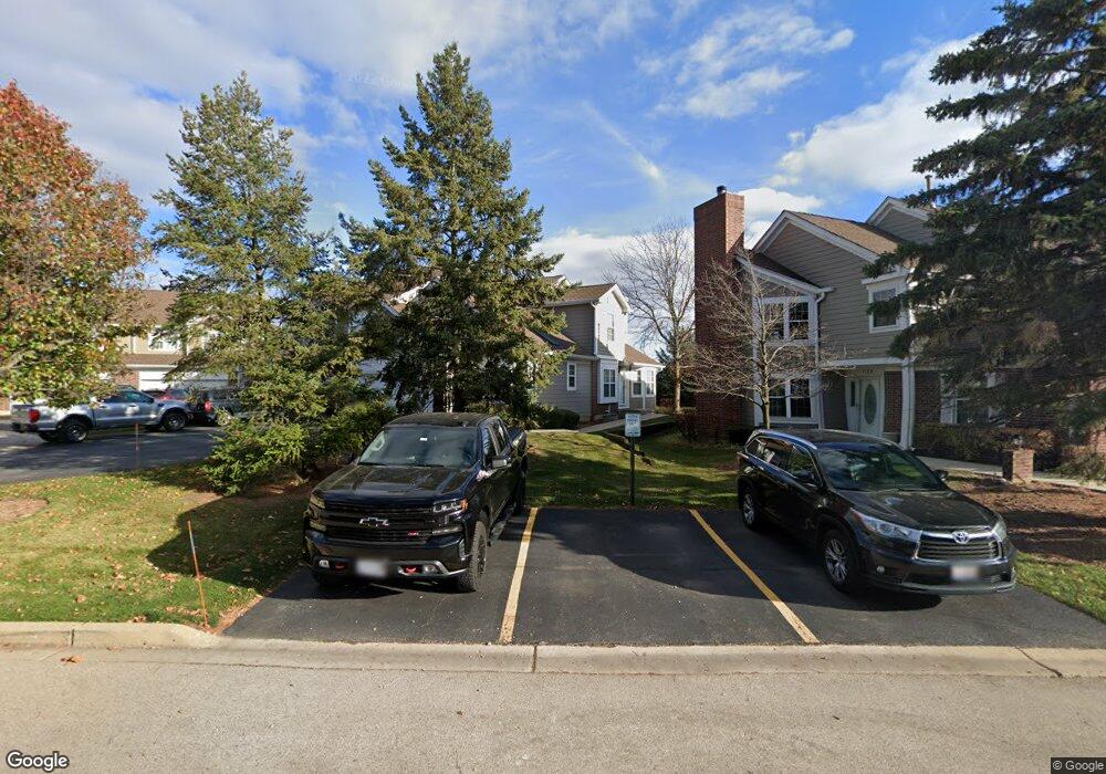
1108 Saint Andrews Ct Unit 201 Algonquin, IL 60102
Estimated Value: $277,280 - $348,000
2
Beds
2
Baths
1,920
Sq Ft
$158/Sq Ft
Est. Value
About This Home
This home is located at 1108 Saint Andrews Ct Unit 201, Algonquin, IL 60102 and is currently estimated at $303,570, approximately $158 per square foot. 1108 Saint Andrews Ct Unit 201 is a home located in McHenry County with nearby schools including Westfield Community School, Kenneth E Neubert Elementary School, and Harry D Jacobs High School.
Ownership History
Date
Name
Owned For
Owner Type
Purchase Details
Closed on
May 1, 2001
Sold by
King Robert R and King Karen A
Bought by
Heck Richard
Current Estimated Value
Home Financials for this Owner
Home Financials are based on the most recent Mortgage that was taken out on this home.
Original Mortgage
$164,000
Interest Rate
7.23%
Mortgage Type
Balloon
Purchase Details
Closed on
May 1, 1998
Sold by
State Bank Of Countryside
Bought by
King Robert R and King Karen A
Home Financials for this Owner
Home Financials are based on the most recent Mortgage that was taken out on this home.
Original Mortgage
$180,250
Interest Rate
7.27%
Mortgage Type
VA
Create a Home Valuation Report for This Property
The Home Valuation Report is an in-depth analysis detailing your home's value as well as a comparison with similar homes in the area
Home Values in the Area
Average Home Value in this Area
Purchase History
| Date | Buyer | Sale Price | Title Company |
|---|---|---|---|
| Heck Richard | $205,000 | Ticor Title | |
| King Robert R | $175,000 | Chicago Title |
Source: Public Records
Mortgage History
| Date | Status | Borrower | Loan Amount |
|---|---|---|---|
| Closed | Heck Richard | $164,000 | |
| Previous Owner | King Robert R | $180,250 |
Source: Public Records
Tax History Compared to Growth
Tax History
| Year | Tax Paid | Tax Assessment Tax Assessment Total Assessment is a certain percentage of the fair market value that is determined by local assessors to be the total taxable value of land and additions on the property. | Land | Improvement |
|---|---|---|---|---|
| 2024 | $5,716 | $81,071 | $15,898 | $65,173 |
| 2023 | $5,400 | $72,508 | $14,219 | $58,289 |
| 2022 | $5,423 | $69,231 | $22,849 | $46,382 |
| 2021 | $5,191 | $64,497 | $21,287 | $43,210 |
| 2020 | $5,048 | $62,213 | $20,533 | $41,680 |
| 2019 | $4,917 | $59,546 | $19,653 | $39,893 |
| 2018 | $5,032 | $58,793 | $18,155 | $40,638 |
| 2017 | $4,918 | $55,387 | $17,103 | $38,284 |
| 2016 | $4,832 | $51,948 | $16,041 | $35,907 |
| 2013 | -- | $70,786 | $14,965 | $55,821 |
Source: Public Records
Map
Nearby Homes
- 1028 Interloch Ct Unit 163
- 12 White Oak Ct
- 1850 White Oak Dr
- SWC Talaga and Algonquin Rd
- 1 N Hubbard St
- 1820 Crofton Dr
- 1721 Fernwood Ln
- 2021 Brindlewood Ln
- 741 Regal Ln
- 2043 Peach Tree Ln Unit 4122
- 1210 Brandywine Cir
- 700 Fairfield Ln
- 18 Dellwood Ct Unit 4204
- 2101 Peach Tree Ln Unit 4094
- 000 County Line Rd
- 1860 Haverford Dr
- 2060 Dorchester Ave
- 1900 Waverly Ln
- 6 Sutcliff Ct
- 1362 S Parkview Terrace
- 1106 Saint Andrews Ct Unit 202
- 1148 Saint Andrews Ct Unit 221
- 1104 Saint Andrews Ct Unit 203
- 1102 Saint Andrews Ct Unit 204
- 1146 Saint Andrews Ct Unit 222
- 1104 St Andrews Ct
- 1122 Saint Andrews Ct Unit 212
- 1122 St Andrews Ct Unit 1122
- 1122 Saint Andrews Ct Unit 1122
- 1124 Saint Andrews Ct Unit 215
- 1124 Saint Andrews Ct Unit 1
- 1126 Saint Andrews Ct Unit 211
- 1128 Saint Andrews Ct
- 1142 Saint Andrews Ct Unit 223
- 1144 Saint Andrews Ct Unit 224
- 1086 Saint Andrews Ct Unit 191
- 1082 Saint Andrews Ct Unit 192
- 1088 Saint Andrews Ct
- 1113 Saint Andrews Ct Unit 283
- 1111 Saint Andrews Ct Unit 282