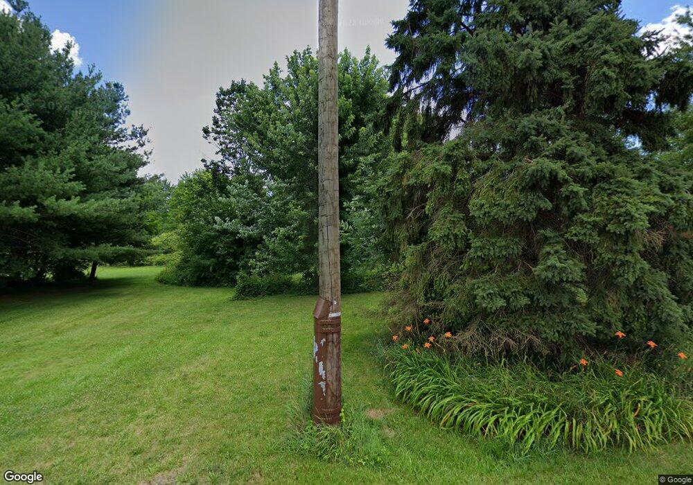
11081 Beloit Snodes Rd Beloit, OH 44609
Estimated Value: $254,000
4
Beds
1
Bath
990
Sq Ft
$257/Sq Ft
Est. Value
About This Home
This home is located at 11081 Beloit Snodes Rd, Beloit, OH 44609 and is currently priced at $254,000, approximately $256 per square foot. 11081 Beloit Snodes Rd is a home located in Mahoning County with nearby schools including West Branch Middle School and West Branch High School.
Ownership History
Date
Name
Owned For
Owner Type
Purchase Details
Closed on
Aug 1, 2016
Sold by
Bortmas Gary and Treasurer Of Mahoning County
Bought by
Mahoning County Land Reutilization Corpo
Current Estimated Value
Purchase Details
Closed on
Aug 13, 1997
Sold by
Mcneal Orlie B and Mcneal Nancy M
Bought by
Bortmas Gary
Purchase Details
Closed on
Aug 21, 1978
Bought by
Mcneal Orlie B and Mcneal Nancy M
Create a Home Valuation Report for This Property
The Home Valuation Report is an in-depth analysis detailing your home's value as well as a comparison with similar homes in the area
Purchase History
| Date | Buyer | Sale Price | Title Company |
|---|---|---|---|
| Mahoning County Land Reutilization Corpo | $1,179 | Attorney | |
| Bortmas Gary | $30,000 | -- | |
| Mcneal Orlie B | -- | -- |
Source: Public Records
Tax History
| Year | Tax Paid | Tax Assessment Tax Assessment Total Assessment is a certain percentage of the fair market value that is determined by local assessors to be the total taxable value of land and additions on the property. | Land | Improvement |
|---|---|---|---|---|
| 2024 | $87 | $2,360 | $2,360 | -- |
| 2023 | $86 | $2,360 | $2,360 | $0 |
| 2022 | $76 | $1,890 | $1,890 | $0 |
| 2021 | $76 | $1,890 | $1,890 | $0 |
| 2020 | $77 | $1,890 | $1,890 | $0 |
| 2019 | $81 | $1,890 | $1,890 | $0 |
| 2018 | $80 | $1,890 | $1,890 | $0 |
| 2017 | $80 | $1,890 | $1,890 | $0 |
| 2016 | $3 | $10,540 | $2,840 | $7,700 |
| 2015 | $444 | $10,540 | $2,840 | $7,700 |
| 2014 | $425 | $10,540 | $2,840 | $7,700 |
| 2013 | $421 | $10,540 | $2,840 | $7,700 |
Source: Public Records
Map
Nearby Homes
- 18883 Center St
- 1005 N 13th St
- 18 Boxwood Dr
- 726 N 12th St
- 0 W Nevada Ave Unit 5181868
- 154 W Nevada Ave Unit 154
- 11 Redwood St
- 57 Redwood St
- 73 Redwood St
- 345 E Indiana Ave
- 0 16th St Unit 5159092
- 17325 5th St
- 455 E Ohio Ave
- 245 E Maryland Ave
- 15551 W Calla Rd
- 10745 Leffingwell Rd
- 157 E Ohio Ave
- 18061 Derr Ave
- 425 N 17th St
- 406 W Indiana Ave
- 11050 Beloit Snodes Rd
- 11030 Beloit Snodes Rd
- 18072 Middletown Rd
- 17990 W Middletown Rd
- 11125 Beloit Snodes Rd
- 11190 Beloit Snodes Rd
- 18209 Middletown Rd
- 17785 W Middletown Rd
- 9999 W Middletown Rd
- 17301 W Middletown Rd
- 18700 Middletown Rd
- 10374 Beloit Snodes Rd
- 10356 Beloit Snodes Rd
- 18870 Middletown Rd
- 10280 Beloit Snodes Rd
- 17235 W Middletown Rd
- 18900 Middletown Rd
- 10270 Beloit Snodes Rd
- 17111 W Middletown Rd
- 18860 W Middletown Rd
