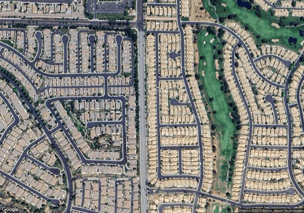
1109 Cypress Point Dr Banning, CA 92220
Estimated Value: $339,000 - $368,558
3
Beds
2
Baths
1,285
Sq Ft
$277/Sq Ft
Est. Value
About This Home
This home is located at 1109 Cypress Point Dr, Banning, CA 92220 and is currently estimated at $355,390, approximately $276 per square foot. 1109 Cypress Point Dr is a home located in Riverside County with nearby schools including Banning High School, Highland Academy, and Calvary Christian School.
Ownership History
Date
Name
Owned For
Owner Type
Purchase Details
Closed on
Jul 8, 2024
Sold by
Loeffert Robert P and Loeffert Lydia Elizabeth
Bought by
Loeffert Family Trust and Loeffert
Current Estimated Value
Purchase Details
Closed on
Mar 19, 2008
Sold by
Miller Theodore Leon
Bought by
Loeffert Robert P and Loeffert Lydia E
Home Financials for this Owner
Home Financials are based on the most recent Mortgage that was taken out on this home.
Original Mortgage
$100,000
Interest Rate
6.22%
Mortgage Type
Purchase Money Mortgage
Purchase Details
Closed on
Nov 12, 2002
Sold by
Newton Ila R and Crosby Avanell
Bought by
Miller Theodore L and Miller Phyllis L
Purchase Details
Closed on
Feb 28, 1997
Sold by
Newton Ila R
Bought by
Newton Ila R and Crosby Avanell
Purchase Details
Closed on
Sep 4, 1996
Sold by
Fish Edmund N and Fish Patricia A
Bought by
Newton Ila R
Create a Home Valuation Report for This Property
The Home Valuation Report is an in-depth analysis detailing your home's value as well as a comparison with similar homes in the area
Home Values in the Area
Average Home Value in this Area
Purchase History
| Date | Buyer | Sale Price | Title Company |
|---|---|---|---|
| Loeffert Family Trust | -- | None Listed On Document | |
| Loeffert Robert P | $175,000 | Fidelity National Title Co | |
| Miller Theodore L | $152,500 | Chicago Title Co | |
| Marlowe Suzann R | -- | Chicago Title Co | |
| Crosby Avanell | -- | Chicago Title Co | |
| Newton Ila R | -- | -- | |
| Newton Ila R | $114,000 | Chicago Title Co |
Source: Public Records
Mortgage History
| Date | Status | Borrower | Loan Amount |
|---|---|---|---|
| Previous Owner | Loeffert Robert P | $100,000 |
Source: Public Records
Tax History Compared to Growth
Tax History
| Year | Tax Paid | Tax Assessment Tax Assessment Total Assessment is a certain percentage of the fair market value that is determined by local assessors to be the total taxable value of land and additions on the property. | Land | Improvement |
|---|---|---|---|---|
| 2025 | $825 | $229,843 | $105,070 | $124,773 |
| 2023 | $825 | $220,920 | $100,991 | $119,929 |
| 2022 | $993 | $216,589 | $99,011 | $117,578 |
| 2021 | $968 | $212,343 | $97,070 | $115,273 |
| 2020 | $996 | $210,167 | $96,075 | $114,092 |
| 2019 | $995 | $206,047 | $94,192 | $111,855 |
| 2018 | $1,017 | $202,008 | $92,346 | $109,662 |
| 2017 | $1,017 | $198,048 | $90,536 | $107,512 |
Source: Public Records
Map
Nearby Homes
- 6351 Spyglass Ave
- 6353 Colonial Ave
- 6240 Firestone Cir
- 1687 Lewis Creek
- 1024 Pine Valley Rd
- 126 Thistle Creek
- 1289 Green Island St
- 871 Pauma Valley Rd
- 6376 W Oak Tree Ave
- 6370 Harbour Town Way
- 857 Pauma Valley Rd
- 1085 Pauma Valley Rd
- 6287 Tuckaway Ave
- 117 Paint Creek
- 6173 Inverness Dr
- 1263 Pauma Valley Rd
- 1642 Beaver Creek
- 1331 Pauma Valley Rd
- 6058 Eagle Trace Ln
- 6106 Spanish Trail Cove
- 1129 Cypress Point Dr
- 1091 Cypress Point Dr
- 1149 Cypress Point Dr
- 1073 Cypress Point Dr
- 1167 Cypress Point Dr
- 1057 Cypress Point Dr
- 1110 Cypress Point Dr
- 1126 Cypress Point Dr
- 1090 Cypress Point Dr
- 1144 Cypress Point Dr
- 1072 Cypress Point Dr
- 1189 Cypress Point Dr
- 6375 Spyglass Ave
- 1056 Cypress Point Dr
- 1205 Cypress Point Dr
- 1025 Cypress Point Dr
- 6292 Firestone Cir
- 160 Salt Creek
- 154 Salt Creek
- 6289 Firestone Cir
