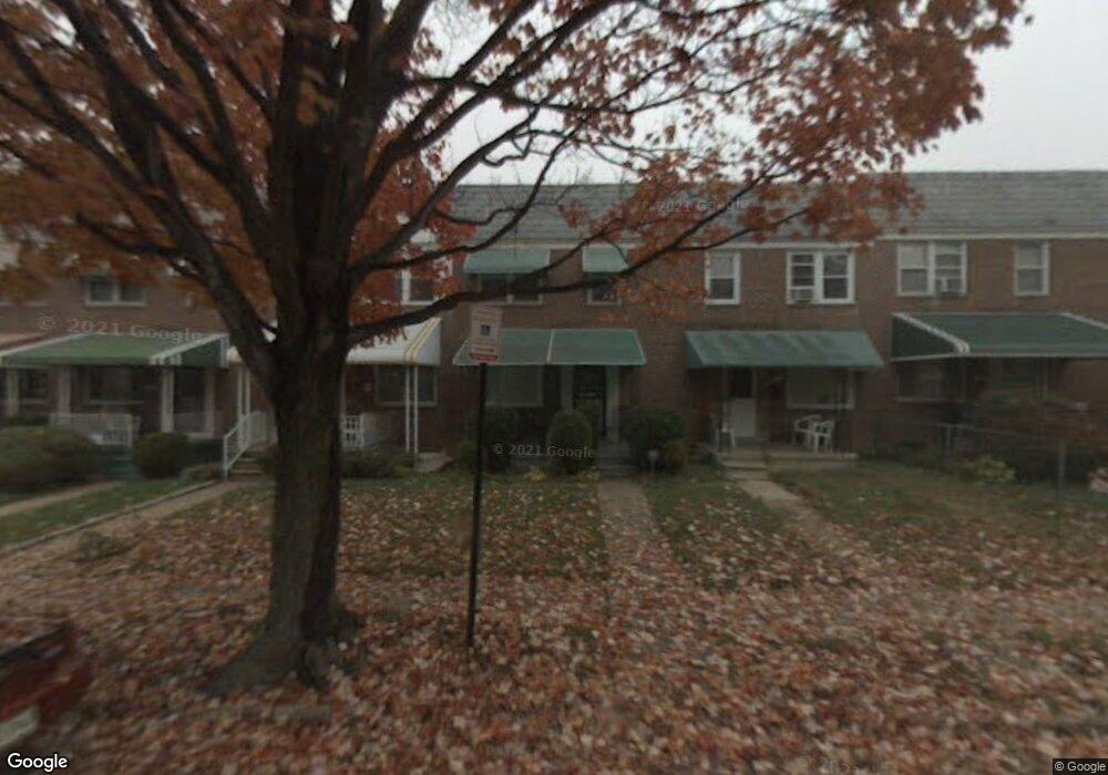
1109 Kevin Rd Baltimore, MD 21229
Rognel Heights NeighborhoodEstimated Value: $147,532 - $180,000
--
Bed
1
Bath
1,152
Sq Ft
$142/Sq Ft
Est. Value
About This Home
This home is located at 1109 Kevin Rd, Baltimore, MD 21229 and is currently estimated at $163,766, approximately $142 per square foot. 1109 Kevin Rd is a home located in Baltimore City with nearby schools including Booker T. Washington Middle School, Edmondson Westside High School, and Frederick Douglass High School.
Ownership History
Date
Name
Owned For
Owner Type
Purchase Details
Closed on
May 2, 2007
Sold by
Driver Lillie Mae
Bought by
Driver Lillie Mae
Current Estimated Value
Home Financials for this Owner
Home Financials are based on the most recent Mortgage that was taken out on this home.
Original Mortgage
$215,100
Outstanding Balance
$129,116
Interest Rate
5.93%
Mortgage Type
Reverse Mortgage Home Equity Conversion Mortgage
Estimated Equity
$34,650
Purchase Details
Closed on
Mar 23, 2007
Sold by
Driver Lillie Mae
Bought by
Driver Lillie Mae
Home Financials for this Owner
Home Financials are based on the most recent Mortgage that was taken out on this home.
Original Mortgage
$215,100
Outstanding Balance
$129,116
Interest Rate
5.93%
Mortgage Type
Reverse Mortgage Home Equity Conversion Mortgage
Estimated Equity
$34,650
Create a Home Valuation Report for This Property
The Home Valuation Report is an in-depth analysis detailing your home's value as well as a comparison with similar homes in the area
Home Values in the Area
Average Home Value in this Area
Purchase History
| Date | Buyer | Sale Price | Title Company |
|---|---|---|---|
| Driver Lillie Mae | $27,422 | -- | |
| Driver Lillie Mae | $27,422 | -- |
Source: Public Records
Mortgage History
| Date | Status | Borrower | Loan Amount |
|---|---|---|---|
| Open | Driver Lillie Mae | $215,100 | |
| Closed | Driver Lillie Mae | $215,100 |
Source: Public Records
Tax History Compared to Growth
Tax History
| Year | Tax Paid | Tax Assessment Tax Assessment Total Assessment is a certain percentage of the fair market value that is determined by local assessors to be the total taxable value of land and additions on the property. | Land | Improvement |
|---|---|---|---|---|
| 2025 | $2,369 | $133,933 | -- | -- |
| 2024 | $2,369 | $121,467 | $0 | $0 |
| 2023 | $2,349 | $109,000 | $30,000 | $79,000 |
| 2022 | $2,321 | $107,600 | $0 | $0 |
| 2021 | $2,506 | $106,200 | $0 | $0 |
| 2020 | $22 | $104,800 | $30,000 | $74,800 |
| 2019 | $2,250 | $104,800 | $30,000 | $74,800 |
| 2018 | $2,286 | $104,800 | $30,000 | $74,800 |
| 2017 | $2,449 | $115,500 | $0 | $0 |
| 2016 | $2,278 | $110,033 | $0 | $0 |
| 2015 | $2,278 | $104,567 | $0 | $0 |
| 2014 | $2,278 | $99,100 | $0 | $0 |
Source: Public Records
Map
Nearby Homes
- 1017 Wicklow Rd
- 1024 Wicklow Rd
- 901 Kevin Rd
- 1003 Walnut Ave
- 802 N Woodington Rd
- 1212 N Augusta Ave
- 1226 N Augusta Ave
- 1230 N Augusta Ave
- 1244 N Augusta Ave
- 827 N Augusta Ave
- 4139 Mountwood Rd
- 609 N Woodington Rd
- 3914 Rokeby Rd
- 3904 Woodridge Rd
- 3814 Flowerton Rd
- 3806 Rokeby Rd
- 733 Lyndhurst St
- 605 N Loudon Ave
- 1102 Mount Holly St
- 3910 Edmondson Ave