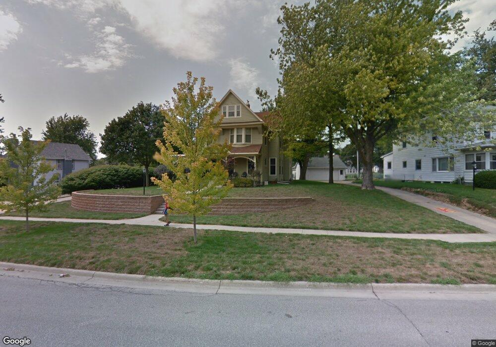
1109 N West St Carroll, IA 51401
Estimated Value: $299,422 - $352,000
5
Beds
2
Baths
2,599
Sq Ft
$122/Sq Ft
Est. Value
About This Home
This home is located at 1109 N West St, Carroll, IA 51401 and is currently estimated at $317,606, approximately $122 per square foot. 1109 N West St is a home with nearby schools including Fairview Elementary School, Adams Elementary School, and Carroll Middle School.
Ownership History
Date
Name
Owned For
Owner Type
Purchase Details
Closed on
Oct 28, 2013
Sold by
Mosher Michael R and Mosher Shelle R
Bought by
Burke Bradley M and Eorke Burke Casie M
Current Estimated Value
Home Financials for this Owner
Home Financials are based on the most recent Mortgage that was taken out on this home.
Original Mortgage
$160,000
Interest Rate
4.24%
Mortgage Type
New Conventional
Create a Home Valuation Report for This Property
The Home Valuation Report is an in-depth analysis detailing your home's value as well as a comparison with similar homes in the area
Home Values in the Area
Average Home Value in this Area
Purchase History
| Date | Buyer | Sale Price | Title Company |
|---|---|---|---|
| Burke Bradley M | $174,000 | None Available |
Source: Public Records
Mortgage History
| Date | Status | Borrower | Loan Amount |
|---|---|---|---|
| Closed | Burke Bradley M | $160,000 |
Source: Public Records
Tax History Compared to Growth
Tax History
| Year | Tax Paid | Tax Assessment Tax Assessment Total Assessment is a certain percentage of the fair market value that is determined by local assessors to be the total taxable value of land and additions on the property. | Land | Improvement |
|---|---|---|---|---|
| 2025 | $3,248 | $322,360 | $29,540 | $292,820 |
| 2024 | $3,248 | $280,430 | $29,540 | $250,890 |
| 2023 | $3,485 | $280,430 | $29,540 | $250,890 |
| 2022 | $3,304 | $243,740 | $24,620 | $219,120 |
| 2021 | $3,304 | $243,740 | $24,620 | $219,120 |
| 2020 | $3,379 | $243,740 | $24,620 | $219,120 |
| 2019 | $2,746 | $243,740 | $24,620 | $219,120 |
| 2018 | $2,582 | $189,000 | $0 | $0 |
| 2017 | $2,580 | $188,994 | $18,436 | $170,558 |
| 2016 | $2,408 | $176,960 | $0 | $0 |
| 2015 | $2,408 | $136,230 | $0 | $0 |
| 2014 | $1,804 | $136,230 | $0 | $0 |
Source: Public Records
Map
Nearby Homes
- 1036 N Crawford St
- 318 W 13th St
- 204 W 11th St
- 226 W 13th St
- 1015 N Adams St
- 1320 N Adams St
- 1217 N Main St
- 1408 N Adams St
- 1108 N Main St
- 1102 N Main St
- 727 N Adams St
- 907 Salinger Ave
- 631 W 17th St
- 926 N Court St
- 1608 Salinger Ave
- 0 Deer Creek Ln Unit 6302348
- 807 N Court St
- 906 W 15th St
- 19383 U S 30
- 1026 N Clark St
- 1119 N West St
- 1037 N West St
- 1123 N West St
- 1050 N Crawford St
- 1040 N Crawford St
- 1114 N West St
- 1033 N West St
- 1108 N West St
- 1102 N West St
- 1033 West St
- 1120 N West St
- 410 W 13th St
- 1029 N West St
- 1124 N West St
- 1303 N West St
- 320 W 11th St
- 1032 N Crawford St
- 1024 N West St
- 1309 N West St
- 1019 N West St