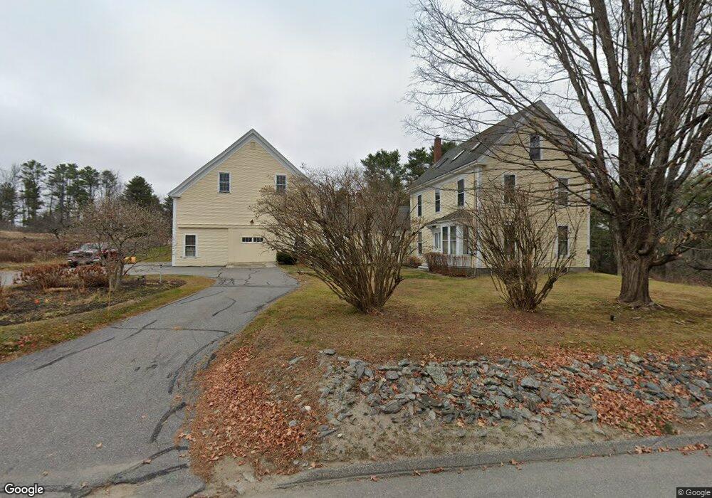
111 Bow St Freeport, ME 04032
Estimated Value: $324,000 - $1,414,249
4
Beds
2
Baths
2,288
Sq Ft
$385/Sq Ft
Est. Value
About This Home
This home is located at 111 Bow St, Freeport, ME 04032 and is currently estimated at $881,562, approximately $385 per square foot. 111 Bow St is a home located in Cumberland County with nearby schools including Morse Street School, Mast Landing School, and Freeport Middle School.
Ownership History
Date
Name
Owned For
Owner Type
Purchase Details
Closed on
Jun 8, 2005
Sold by
Sander Lawrence D and Davis Anne C
Bought by
Yilmaz Joseph A and Yilmaz Janet J
Current Estimated Value
Create a Home Valuation Report for This Property
The Home Valuation Report is an in-depth analysis detailing your home's value as well as a comparison with similar homes in the area
Home Values in the Area
Average Home Value in this Area
Purchase History
| Date | Buyer | Sale Price | Title Company |
|---|---|---|---|
| Yilmaz Joseph A | -- | -- |
Source: Public Records
Tax History
| Year | Tax Paid | Tax Assessment Tax Assessment Total Assessment is a certain percentage of the fair market value that is determined by local assessors to be the total taxable value of land and additions on the property. | Land | Improvement |
|---|---|---|---|---|
| 2025 | $12,266 | $885,600 | $490,400 | $395,200 |
| 2024 | $11,512 | $862,300 | $467,100 | $395,200 |
| 2023 | $10,572 | $768,900 | $424,500 | $344,400 |
| 2022 | $10,018 | $733,900 | $389,500 | $344,400 |
| 2021 | $9,798 | $733,900 | $389,500 | $344,400 |
| 2020 | $9,509 | $679,200 | $360,700 | $318,500 |
| 2019 | $9,215 | $644,400 | $340,400 | $304,000 |
| 2018 | $8,938 | $593,900 | $318,000 | $275,900 |
| 2017 | $8,583 | $574,100 | $310,800 | $263,300 |
| 2016 | $8,409 | $532,200 | $287,700 | $244,500 |
| 2015 | $8,412 | $500,700 | $271,200 | $229,500 |
| 2014 | $7,911 | $500,700 | $271,200 | $229,500 |
| 2013 | $6,638 | $418,800 | $204,300 | $214,500 |
Source: Public Records
Map
Nearby Homes
- 11 Orchard Hill Rd
- 5 Holbrook St
- 10 Durham Rd
- 42 Durham Rd
- 15 Tinkers Way
- 15 Linwood Rd Unit 15
- 1260 Us Route 1
- 52 Birch Point Rd
- 10 Prout Rd
- 39 Hunter Rd
- 1 Wardtown Rd
- 26 Harvest Ridge Rd Unit 24
- 20 Harvest Ridge Rd Unit 23
- 8 Statler Ln
- 0 Prout Rd
- 10 Lower Flying Point Rd
- 2 Renee Rd
- 21 Renee Rd
- 64 Wardtown Rd
- 4 Harper's Trail
Your Personal Tour Guide
Ask me questions while you tour the home.