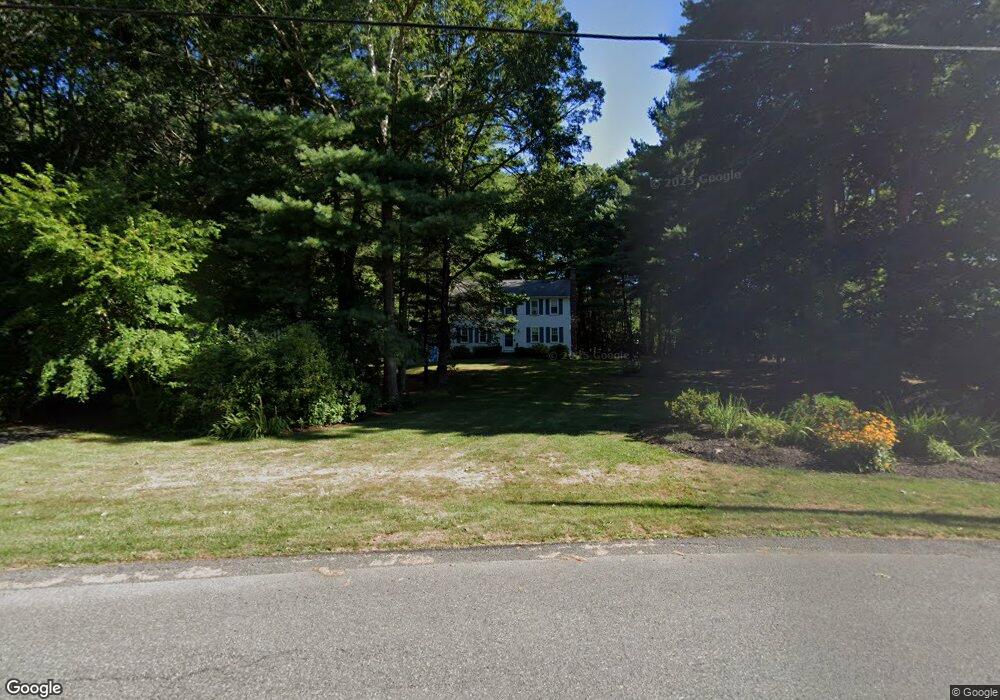
111 Brook Bend Rd Hanover, MA 02339
Estimated Value: $739,518 - $805,000
4
Beds
3
Baths
1,656
Sq Ft
$465/Sq Ft
Est. Value
About This Home
This home is located at 111 Brook Bend Rd, Hanover, MA 02339 and is currently estimated at $770,630, approximately $465 per square foot. 111 Brook Bend Rd is a home located in Plymouth County with nearby schools including Hanover High School, Cadence Academy Preschool - Hanover, and Norwell KinderCare.
Ownership History
Date
Name
Owned For
Owner Type
Purchase Details
Closed on
Nov 8, 1976
Bought by
Abboud Alan J and Abboud Christine A
Current Estimated Value
Create a Home Valuation Report for This Property
The Home Valuation Report is an in-depth analysis detailing your home's value as well as a comparison with similar homes in the area
Home Values in the Area
Average Home Value in this Area
Purchase History
| Date | Buyer | Sale Price | Title Company |
|---|---|---|---|
| Abboud Alan J | -- | -- |
Source: Public Records
Mortgage History
| Date | Status | Borrower | Loan Amount |
|---|---|---|---|
| Open | Abboud Alan J | $200,000 | |
| Closed | Abboud Alan J | $150,000 | |
| Closed | Abboud Alan J | $75,000 | |
| Closed | Abboud Alan J | $20,000 |
Source: Public Records
Tax History
| Year | Tax Paid | Tax Assessment Tax Assessment Total Assessment is a certain percentage of the fair market value that is determined by local assessors to be the total taxable value of land and additions on the property. | Land | Improvement |
|---|---|---|---|---|
| 2025 | $8,103 | $656,100 | $283,000 | $373,100 |
| 2024 | $7,951 | $619,200 | $283,000 | $336,200 |
| 2023 | $7,310 | $541,900 | $257,700 | $284,200 |
| 2022 | $7,765 | $509,200 | $257,700 | $251,500 |
| 2021 | $7,486 | $458,400 | $223,000 | $235,400 |
| 2020 | $7,309 | $448,100 | $223,000 | $225,100 |
| 2019 | $7,119 | $433,800 | $223,000 | $210,800 |
| 2018 | $6,729 | $413,300 | $223,000 | $190,300 |
| 2017 | $6,648 | $402,400 | $218,300 | $184,100 |
| 2016 | $6,387 | $378,800 | $198,700 | $180,100 |
| 2015 | $6,118 | $378,800 | $198,700 | $180,100 |
Source: Public Records
Map
Nearby Homes
- 49 Brook Bend Rd
- 39 Brook Bend Rd
- 59 Brook Bend Rd
- 102 Brook Bend Rd
- 85 Brook Bend Rd
- 27 Brook Bend Rd
- 94 Brook Bend Rd
- 48 Brook Bend Rd
- 58 Brook Bend Rd
- 38 Brook Bend Rd
- 66 Brook Bend Rd
- 253 East St
- 112 Brook Bend Rd
- 241 East St
- 233 East St
- 26 Brook Bend Rd
- 84 Brook Bend Rd
- 265 East St
- 125 Brook Bend Rd
- 215 East St
Your Personal Tour Guide
Ask me questions while you tour the home.