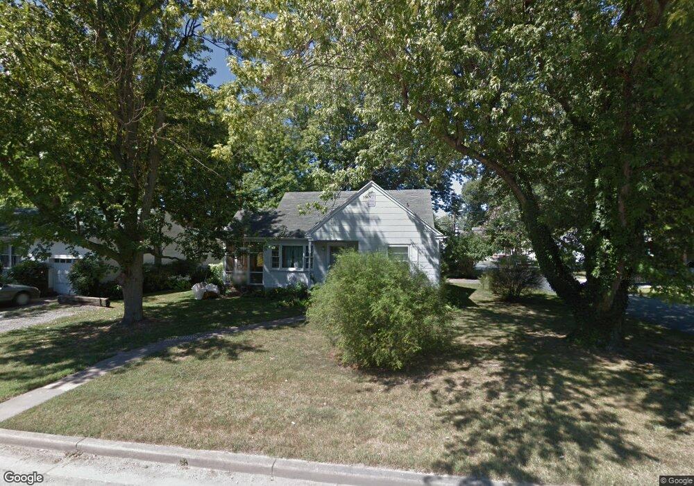
111 E Maple Ave Saint Michaels, MD 21663
Estimated Value: $281,479 - $591,000
Studio
--
Bath
856
Sq Ft
$469/Sq Ft
Est. Value
About This Home
This home is located at 111 E Maple Ave, Saint Michaels, MD 21663 and is currently estimated at $401,120, approximately $468 per square foot. 111 E Maple Ave is a home located in Talbot County with nearby schools including St. Michaels Elementary School, St. Michaels Middle/High School, and Easton High School.
Ownership History
Date
Name
Owned For
Owner Type
Purchase Details
Closed on
Aug 22, 1997
Sold by
Blessing Debra E
Bought by
Blessing Debra E
Current Estimated Value
Purchase Details
Closed on
Dec 20, 1995
Sold by
Lesher Ronald E
Bought by
Blessing Debra E and Evans Henry L
Purchase Details
Closed on
May 21, 1992
Sold by
Lehrkinder Donald William
Bought by
Lesher Ronald E
Create a Home Valuation Report for This Property
The Home Valuation Report is an in-depth analysis detailing your home's value as well as a comparison with similar homes in the area
Home Values in the Area
Average Home Value in this Area
Purchase History
| Date | Buyer | Sale Price | Title Company |
|---|---|---|---|
| Blessing Debra E | -- | -- | |
| Blessing Debra E | $85,500 | -- | |
| Lesher Ronald E | $81,500 | -- |
Source: Public Records
Mortgage History
| Date | Status | Borrower | Loan Amount |
|---|---|---|---|
| Closed | Blessing Debra E | -- |
Source: Public Records
Tax History
| Year | Tax Paid | Tax Assessment Tax Assessment Total Assessment is a certain percentage of the fair market value that is determined by local assessors to be the total taxable value of land and additions on the property. | Land | Improvement |
|---|---|---|---|---|
| 2025 | $1,086 | $231,200 | $143,900 | $87,300 |
| 2024 | $1,071 | $225,500 | $0 | $0 |
| 2023 | $2,561 | $219,800 | $0 | $0 |
| 2022 | $2,465 | $214,100 | $143,900 | $70,200 |
| 2021 | $1,934 | $206,467 | $0 | $0 |
| 2020 | $2,327 | $198,833 | $0 | $0 |
| 2019 | $2,223 | $191,200 | $122,000 | $69,200 |
| 2018 | $2,076 | $182,033 | $0 | $0 |
| 2017 | $1,908 | $172,867 | $0 | $0 |
| 2016 | $803 | $163,700 | $0 | $0 |
| 2015 | $846 | $163,700 | $0 | $0 |
| 2014 | $846 | $163,700 | $0 | $0 |
Source: Public Records
Map
Nearby Homes
- 105 Seymour Ave
- 204 E Marengo St
- 114 E Chew Ave
- Lot 16A Meadow St
- 106 E Chestnut St
- 303 Manor St
- 216 E Chew Ave
- 222 E Chestnut St
- 107 W Chestnut St
- 114 W Chestnut St
- 101 Mulberry St
- 938 Marea Terrace
- 113 Gloria Ave
- 111 Gloria Ave
- 205 Cherry St
- 117 Chesapeake Ave
- 912 Calvert Ave
- 926 Calvert Ave
- 408 Spinnaker Ln
- 228 Tyler Ave
Your Personal Tour Guide
Ask me questions while you tour the home.