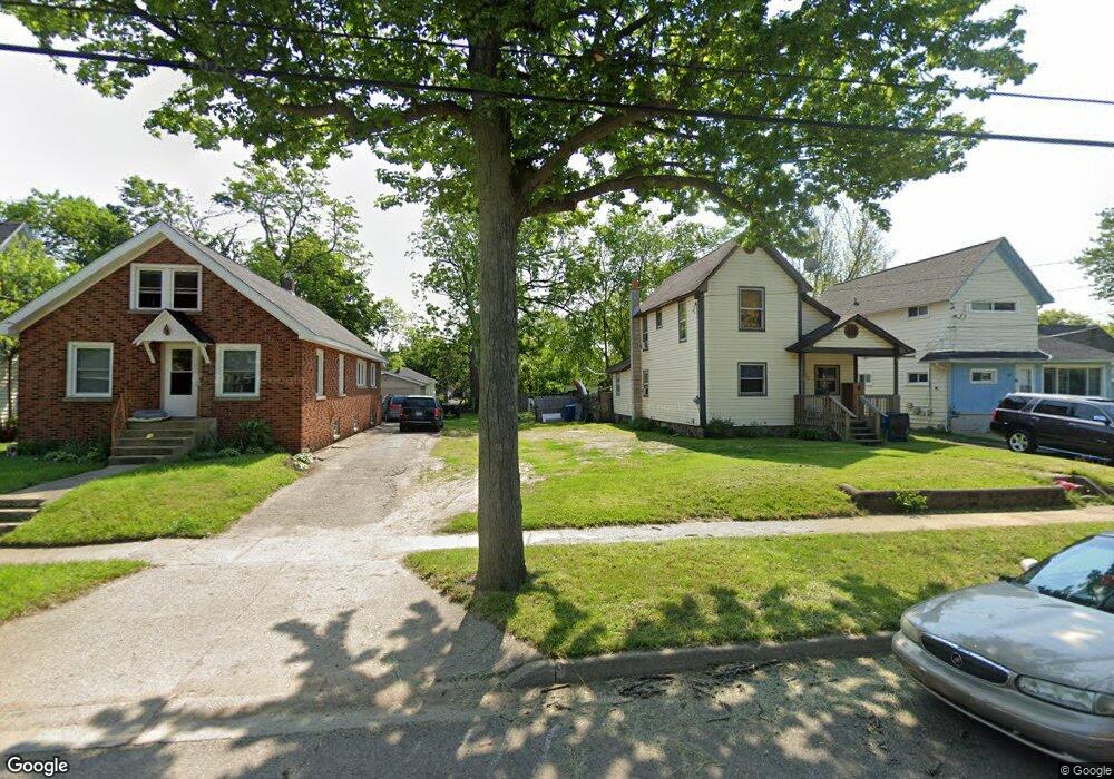
111 Euclid St Battle Creek, MI 49014
Post Franklin NeighborhoodEstimated Value: $65,000 - $121,000
3
Beds
2
Baths
1,416
Sq Ft
$70/Sq Ft
Est. Value
About This Home
This home is located at 111 Euclid St, Battle Creek, MI 49014 and is currently estimated at $99,211, approximately $70 per square foot. 111 Euclid St is a home located in Calhoun County with nearby schools including Post-Franklin Elementary School, Springfield Middle School, and Battle Creek Central High School.
Ownership History
Date
Name
Owned For
Owner Type
Purchase Details
Closed on
Aug 27, 2020
Sold by
Calhoun County Land Bank Authority
Bought by
Mix William Frederick and Mix Kimberly Dawn
Current Estimated Value
Purchase Details
Closed on
Nov 18, 2015
Sold by
Calhoun County Treasurer
Bought by
Calhoun County Land Bank Authority
Purchase Details
Closed on
Jul 8, 2009
Sold by
Mortgage Electronic Registration Systems
Bought by
Federal National Mortgage Association
Purchase Details
Closed on
Jun 4, 2009
Sold by
Carson Beatrice
Bought by
Mortgage Electronic Registration Systems
Purchase Details
Closed on
Oct 9, 2002
Sold by
Carson-Mc Cray Beatrice
Bought by
Carson Trust Beatrice
Purchase Details
Closed on
May 7, 2002
Bought by
Carson-Mc Cray Beatrice
Create a Home Valuation Report for This Property
The Home Valuation Report is an in-depth analysis detailing your home's value as well as a comparison with similar homes in the area
Home Values in the Area
Average Home Value in this Area
Purchase History
| Date | Buyer | Sale Price | Title Company |
|---|---|---|---|
| Mix William Frederick | $200 | None Available | |
| Calhoun County Land Bank Authority | -- | Attorney | |
| Federal National Mortgage Association | -- | None Available | |
| Mortgage Electronic Registration Systems | $66,370 | None Available | |
| Carson Trust Beatrice | -- | -- | |
| Carson-Mc Cray Beatrice | $24,500 | -- |
Source: Public Records
Tax History Compared to Growth
Tax History
| Year | Tax Paid | Tax Assessment Tax Assessment Total Assessment is a certain percentage of the fair market value that is determined by local assessors to be the total taxable value of land and additions on the property. | Land | Improvement |
|---|---|---|---|---|
| 2025 | -- | $1,700 | $0 | $0 |
| 2024 | $22 | $1,275 | $0 | $0 |
| 2023 | $25 | $850 | $0 | $0 |
| 2022 | $20 | $595 | $0 | $0 |
| 2021 | $24 | $510 | $0 | $0 |
| 2020 | $0 | $0 | $0 | $0 |
| 2019 | $0 | $0 | $0 | $0 |
| 2018 | $0 | $0 | $0 | $0 |
| 2017 | -- | $0 | $0 | $0 |
| 2016 | -- | $0 | $0 | $0 |
| 2015 | $982 | $17,568 | $1,638 | $15,930 |
| 2014 | $982 | $13,314 | $1,638 | $11,676 |
Source: Public Records
Map
Nearby Homes