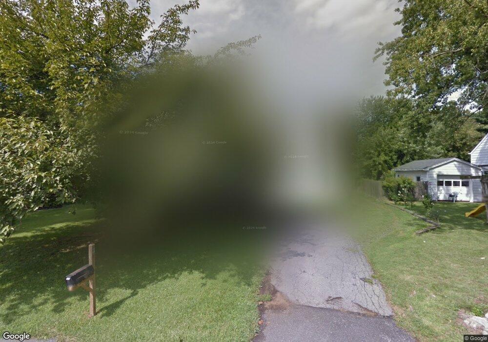
111 Forks Ave Easton, PA 18040
Estimated Value: $323,000 - $396,000
3
Beds
1
Bath
2,004
Sq Ft
$183/Sq Ft
Est. Value
About This Home
This home is located at 111 Forks Ave, Easton, PA 18040 and is currently estimated at $365,994, approximately $182 per square foot. 111 Forks Ave is a home located in Northampton County with nearby schools including Forks El School, Easton Area Middle School, and Easton Area High School.
Ownership History
Date
Name
Owned For
Owner Type
Purchase Details
Closed on
Aug 21, 2020
Sold by
Kilpatrick Kathleen
Bought by
Zimmerman Jacob
Current Estimated Value
Home Financials for this Owner
Home Financials are based on the most recent Mortgage that was taken out on this home.
Original Mortgage
$186,558
Outstanding Balance
$165,181
Interest Rate
2.9%
Mortgage Type
FHA
Estimated Equity
$200,813
Purchase Details
Closed on
Jul 1, 1992
Bought by
Kilpatrick Donald G and Kilpatrick Kathleen
Purchase Details
Closed on
Oct 1, 1979
Bought by
Not Provided
Create a Home Valuation Report for This Property
The Home Valuation Report is an in-depth analysis detailing your home's value as well as a comparison with similar homes in the area
Home Values in the Area
Average Home Value in this Area
Purchase History
| Date | Buyer | Sale Price | Title Company |
|---|---|---|---|
| Zimmerman Jacob | $190,000 | First United Land Transfer I | |
| Kilpatrick Donald G | -- | -- | |
| Not Provided | $64,500 | -- |
Source: Public Records
Mortgage History
| Date | Status | Borrower | Loan Amount |
|---|---|---|---|
| Open | Zimmerman Jacob | $186,558 |
Source: Public Records
Tax History Compared to Growth
Tax History
| Year | Tax Paid | Tax Assessment Tax Assessment Total Assessment is a certain percentage of the fair market value that is determined by local assessors to be the total taxable value of land and additions on the property. | Land | Improvement |
|---|---|---|---|---|
| 2025 | $663 | $61,400 | $21,700 | $39,700 |
| 2024 | $5,380 | $61,400 | $21,700 | $39,700 |
| 2023 | $5,298 | $61,400 | $21,700 | $39,700 |
| 2022 | $5,218 | $61,400 | $21,700 | $39,700 |
| 2021 | $5,201 | $61,400 | $21,700 | $39,700 |
| 2020 | $5,198 | $61,400 | $21,700 | $39,700 |
| 2019 | $5,123 | $61,400 | $21,700 | $39,700 |
| 2018 | $5,035 | $61,400 | $21,700 | $39,700 |
| 2017 | $4,884 | $61,400 | $21,700 | $39,700 |
| 2016 | -- | $61,400 | $21,700 | $39,700 |
| 2015 | -- | $61,400 | $21,700 | $39,700 |
| 2014 | -- | $61,400 | $21,700 | $39,700 |
Source: Public Records
Map
Nearby Homes
- 1421 Sullivan Trail
- 201 Frost Hollow Rd
- 2037 Huntington Ln
- 15 Canterbury Ct
- 2121 Huntington Ln
- 1360 Toboggan Trail
- 55 Penny Ln
- 21 Abbey Rd
- 69 Penny Ln
- 1122 Sullivan Trail
- 507 Apple Blossom Rd
- 202 Park Ridge Dr
- 613 Raub St
- 797 Heather Ln
- 257 Park Ridge Dr
- 12 Fort Lee Ct
- 510 Acorn Dr
- 286 Park Ridge Dr
- 309 W Wayne Ave
- 851 Mohican Dr
- 113 Forks Ave
- 109 Forks Ave
- 1735 Blossom Hill Rd
- 1745 Blossom Hill Rd
- 107 Forks Ave
- 1725 Blossom Hill Rd
- 116 Forks Ave
- 119 Forks Ave
- 112 Forks Ave
- 120 Forks Ave
- 105 Forks Ave
- 108 Forks Ave
- 1755 Blossom Hill Rd
- 1715 Blossom Hill Rd
- 124 Forks Ave
- 104 Forks Ave
- 1765 Clarendon Dr
- 1760 Blossom Hill Rd
- 1706 Richmond Rd
- 101 Forks Ave
