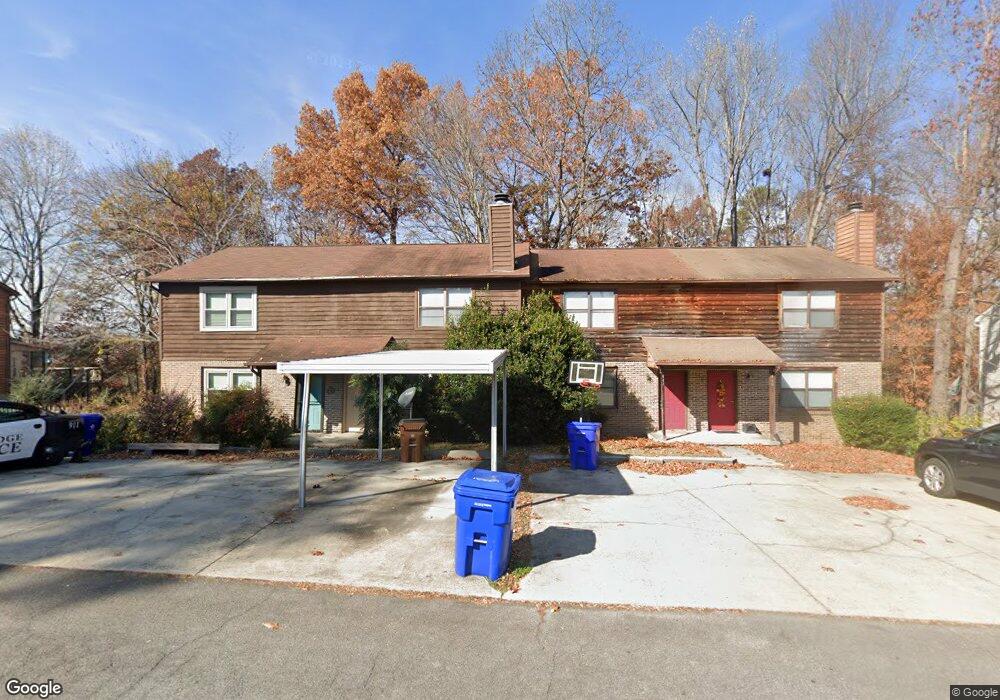
111 High Point Ln Oak Ridge, TN 37830
Estimated Value: $181,000 - $219,000
--
Bed
2
Baths
1,200
Sq Ft
$167/Sq Ft
Est. Value
About This Home
This home is located at 111 High Point Ln, Oak Ridge, TN 37830 and is currently estimated at $200,823, approximately $167 per square foot. 111 High Point Ln is a home located in Anderson County with nearby schools including Woodland Elementary School, Jefferson Middle School, and Oak Ridge High School.
Ownership History
Date
Name
Owned For
Owner Type
Purchase Details
Closed on
Oct 10, 2024
Sold by
Cox Rebecca
Bought by
Cox Michael Nugent
Current Estimated Value
Home Financials for this Owner
Home Financials are based on the most recent Mortgage that was taken out on this home.
Original Mortgage
$130,000
Outstanding Balance
$128,633
Interest Rate
6.35%
Mortgage Type
New Conventional
Estimated Equity
$72,190
Purchase Details
Closed on
Jan 11, 2016
Sold by
Schubert William R
Bought by
Cox Michael and Cox Rebecca
Home Financials for this Owner
Home Financials are based on the most recent Mortgage that was taken out on this home.
Original Mortgage
$52,000
Interest Rate
3.97%
Mortgage Type
New Conventional
Create a Home Valuation Report for This Property
The Home Valuation Report is an in-depth analysis detailing your home's value as well as a comparison with similar homes in the area
Home Values in the Area
Average Home Value in this Area
Purchase History
| Date | Buyer | Sale Price | Title Company |
|---|---|---|---|
| Cox Michael Nugent | -- | None Listed On Document | |
| Cox Michael Nugent | -- | None Listed On Document | |
| Cox Michael | $65,000 | -- |
Source: Public Records
Mortgage History
| Date | Status | Borrower | Loan Amount |
|---|---|---|---|
| Open | Cox Michael Nugent | $130,000 | |
| Closed | Cox Michael Nugent | $130,000 | |
| Previous Owner | Cox Michael | $52,000 |
Source: Public Records
Tax History Compared to Growth
Tax History
| Year | Tax Paid | Tax Assessment Tax Assessment Total Assessment is a certain percentage of the fair market value that is determined by local assessors to be the total taxable value of land and additions on the property. | Land | Improvement |
|---|---|---|---|---|
| 2024 | $527 | $21,475 | $2,850 | $18,625 |
| 2023 | $527 | $21,475 | $0 | $0 |
| 2022 | $1,024 | $21,475 | $2,850 | $18,625 |
| 2021 | $1,024 | $21,475 | $2,850 | $18,625 |
| 2020 | $866 | $21,475 | $2,850 | $18,625 |
| 2019 | $887 | $16,875 | $2,200 | $14,675 |
| 2018 | $867 | $16,875 | $2,200 | $14,675 |
| 2017 | $863 | $16,875 | $2,200 | $14,675 |
| 2016 | $863 | $16,875 | $2,200 | $14,675 |
| 2015 | -- | $16,875 | $2,200 | $14,675 |
| 2014 | -- | $16,875 | $2,200 | $14,675 |
| 2013 | -- | $18,825 | $0 | $0 |
Source: Public Records
Map
Nearby Homes
- 113 High Point Ln
- 0 Hendrix Dr
- 119 Hanover Place
- 160 High Point Ln
- 162 High Point Ln
- 98 Hampshire Cir
- 123 Heritage Dr
- 101 Hendrix Dr
- 103 S Purdue Ave
- 121 Goucher Cir
- 112 Nasson Ln
- 109 Nasson Ln
- 116 W Gettysburg Ave
- 191 Manhattan Ave
- 105 Deerfield Ln
- 124 Marshall Cir
- 207 Manhattan Ave
- 185 S Purdue Ave
- 244 Vermont Ave
- 118 Venus Rd
- 109 High Point Ln
- 109 High Point Ln Unit 4
- 115 High Point Ln
- 115 High Point Ln Unit 4
- 107 High Point Ln
- 117 High Point Ln
- 105 High Point Ln
- 119 High Point Ln
- 103 High Point Ln
- 0 High Point Ln Unit 600348
- 0 High Point Ln Unit 669578
- 0 High Point Ln Unit multiple 822767
- 0 High Point Ln
- 121 High Point Ln
- 123 High Point Ln
- 146 Hendrix Dr
- 101 High Point Ln
- 142 Hendrix Dr
- 112 High Point Ln
- 114 High Point Ln