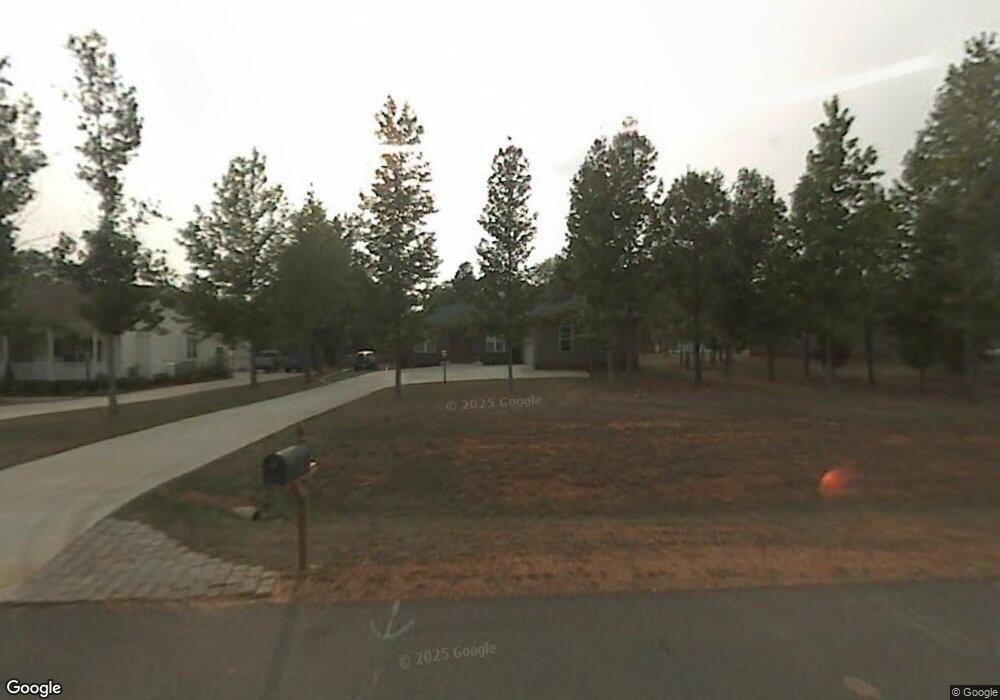
111 Idlewild Rd Advance, NC 27006
Estimated Value: $414,000 - $622,553
5
Beds
5
Baths
3,551
Sq Ft
$155/Sq Ft
Est. Value
About This Home
This home is located at 111 Idlewild Rd, Advance, NC 27006 and is currently estimated at $550,638, approximately $155 per square foot. 111 Idlewild Rd is a home located in Davie County with nearby schools including Pinebrook Elementary School, North Davie Middle School, and Davie County High School.
Ownership History
Date
Name
Owned For
Owner Type
Purchase Details
Closed on
Nov 4, 2005
Sold by
H & V Construction Co
Bought by
Russell Joe and Russell Betsy
Current Estimated Value
Home Financials for this Owner
Home Financials are based on the most recent Mortgage that was taken out on this home.
Original Mortgage
$189,900
Interest Rate
6.28%
Mortgage Type
New Conventional
Purchase Details
Closed on
Jul 1, 2004
Create a Home Valuation Report for This Property
The Home Valuation Report is an in-depth analysis detailing your home's value as well as a comparison with similar homes in the area
Purchase History
| Date | Buyer | Sale Price | Title Company |
|---|---|---|---|
| Russell Joe | $190,000 | -- | |
| -- | -- | -- |
Source: Public Records
Mortgage History
| Date | Status | Borrower | Loan Amount |
|---|---|---|---|
| Previous Owner | Russell Joe | $189,900 |
Source: Public Records
Tax History
| Year | Tax Paid | Tax Assessment Tax Assessment Total Assessment is a certain percentage of the fair market value that is determined by local assessors to be the total taxable value of land and additions on the property. | Land | Improvement |
|---|---|---|---|---|
| 2025 | $3,684 | $535,070 | $77,000 | $458,070 |
| 2024 | $2,399 | $310,410 | $30,000 | $280,410 |
| 2023 | $2,399 | $310,410 | $30,000 | $280,410 |
| 2022 | $2,399 | $310,410 | $30,000 | $280,410 |
| 2021 | $2,399 | $310,410 | $30,000 | $280,410 |
| 2020 | $2,184 | $280,780 | $30,000 | $250,780 |
| 2019 | $2,184 | $280,780 | $30,000 | $250,780 |
| 2018 | $1,417 | $182,190 | $30,000 | $152,190 |
| 2017 | $1,399 | $182,190 | $0 | $0 |
| 2016 | $1,409 | $183,490 | $0 | $0 |
| 2015 | $1,409 | $183,490 | $0 | $0 |
| 2014 | $1,211 | $183,490 | $0 | $0 |
| 2013 | -- | $183,490 | $0 | $0 |
Source: Public Records
Map
Nearby Homes
- 182 Woodburn Place
- 147 W Renee Dr
- 300 Redland Rd
- 290 Redland Rd
- 195 S Claybon Dr
- 844 Rainbow Rd
- 169 King Arthur Ln
- 117 Candle Light Ct
- 4359 US Highway 158
- 0 Mcknight Rd
- 300 Morning Star Dr
- 4350 US Highway 158
- 115 Moravian Ct
- 4350 U S 158
- 4338 U S 158
- 265 Morning Star Dr
- 103 Slope Ln
- 271 Morning Star Dr
- 118 Lovefeast Dr
- 116 Lovefeast Dr
- 107 Idlewild Rd
- 129 Idlewild Rd
- 145 Idlewild Rd
- 143 Gordon Dr
- 6 Idlewild Rd
- 148 Gordon Dr
- 146 Idlewild Rd
- 106 Idlewild Rd
- 118 Idlewild Rd
- 144 Gordon Dr
- 133 Gordon Dr
- 122 Idlewild Rd
- 114 Idlewild Rd
- 134 Idlewild Rd
- 140 Idlewild Rd
- 107 Alvis Trail
- 142 Idlewild Rd
- 125 Gordon Dr
- 119 Gordon Dr
- 123 Alvis Trail
Your Personal Tour Guide
Ask me questions while you tour the home.