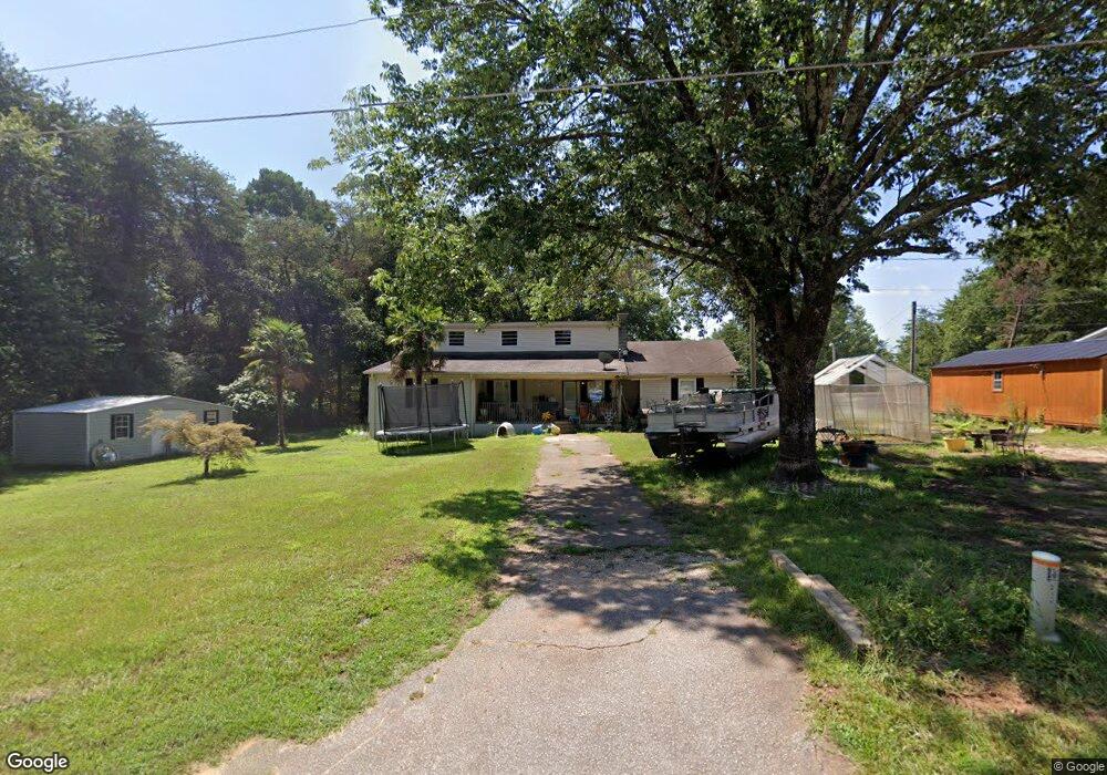
111 Jarrett Rd Anderson, SC 29626
Estimated Value: $224,446 - $462,000
3
Beds
2
Baths
1,460
Sq Ft
$248/Sq Ft
Est. Value
About This Home
This home is located at 111 Jarrett Rd, Anderson, SC 29626 and is currently estimated at $361,862, approximately $247 per square foot. 111 Jarrett Rd is a home located in Anderson County with nearby schools including McLees Elementary School, Robert Anderson Middle School, and Westside High School.
Ownership History
Date
Name
Owned For
Owner Type
Purchase Details
Closed on
May 31, 2012
Sold by
Hanks Raymond
Bought by
Duncan Eddy L and Williams Jacqueline S
Current Estimated Value
Home Financials for this Owner
Home Financials are based on the most recent Mortgage that was taken out on this home.
Original Mortgage
$38,135
Interest Rate
3.83%
Mortgage Type
Purchase Money Mortgage
Purchase Details
Closed on
Oct 20, 2006
Sold by
Suntrust Mortgage
Bought by
Hanks Raymond
Purchase Details
Closed on
Jun 15, 2006
Sold by
Brown Norman K and Brown Donna R
Bought by
Wells Fargo Bank Na
Create a Home Valuation Report for This Property
The Home Valuation Report is an in-depth analysis detailing your home's value as well as a comparison with similar homes in the area
Home Values in the Area
Average Home Value in this Area
Purchase History
| Date | Buyer | Sale Price | Title Company |
|---|---|---|---|
| Duncan Eddy L | $45,000 | -- | |
| Hanks Raymond | $20,500 | None Available | |
| Wells Fargo Bank Na | $2,500 | None Available |
Source: Public Records
Mortgage History
| Date | Status | Borrower | Loan Amount |
|---|---|---|---|
| Closed | Duncan Eddy L | $38,135 |
Source: Public Records
Tax History Compared to Growth
Tax History
| Year | Tax Paid | Tax Assessment Tax Assessment Total Assessment is a certain percentage of the fair market value that is determined by local assessors to be the total taxable value of land and additions on the property. | Land | Improvement |
|---|---|---|---|---|
| 2024 | $393 | $2,970 | $1,140 | $1,830 |
| 2023 | $391 | $2,970 | $1,140 | $1,830 |
| 2022 | $361 | $2,970 | $1,140 | $1,830 |
| 2021 | $344 | $2,370 | $640 | $1,730 |
| 2020 | $339 | $2,370 | $640 | $1,730 |
| 2019 | $339 | $2,370 | $640 | $1,730 |
| 2018 | $344 | $2,370 | $640 | $1,730 |
| 2017 | -- | $2,370 | $640 | $1,730 |
| 2016 | $356 | $2,470 | $600 | $1,870 |
| 2015 | $361 | $2,470 | $600 | $1,870 |
| 2014 | $357 | $2,470 | $600 | $1,870 |
Source: Public Records
Map
Nearby Homes
- 106 Jarrett Rd
- 104 Jarrett Rd
- 109 Quiet Way
- 120 Harbour Springs Way
- 139 Brady Dr
- 145 Brady Dr
- 1107 Sunset Ln
- 1201 Sunset Ln
- 1214 Sunset Ln
- 1104 Whitfield Point Rd
- 1005 Cove Cir
- 315 Lakefront Dr
- Lot #40 Lakefront Dr
- Lot #59 Lakefront Dr
- 1441 Providence Church Rd
- 126 Capeview Ln
- 401 Broadwater Cir
- 227 Forest Cove Rd
- 303 Forest Cove Rd
- 20D Hartwell Villas
- 105 Jarrett Rd
- 0 Jarrett Rd Unit 20220625
- 0 Jarrett Rd Unit 20230900
- 0 Jarrett Rd Unit 8837664
- 0 Jarrett Rd
- 108 Jarrett Rd Unit Lot 1
- 106 Jarrett Rd Unit Lot 2
- 120 Jarrett Rd
- 209 Trail End Rd
- 216 Trail End Rd
- 2118 Providence Church Rd
- 2118 Providence Church Rd
- 160 Jarrett Rd
- 118 Jarrett Rd
- 200 Jarrett Rd
- 214 Trail End Rd
- 2038 Providence Church Rd Unit Lot 4
- 2038 Providence Church Rd
- 206 Jarrett Rd
- 210 Trail End Rd