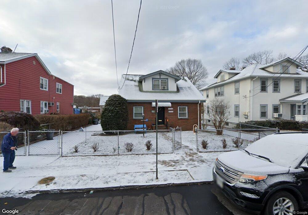
111 King Ave Yonkers, NY 10704
Southeast Yonkers NeighborhoodEstimated Value: $681,000 - $717,403
4
Beds
2
Baths
1,500
Sq Ft
$468/Sq Ft
Est. Value
About This Home
This home is located at 111 King Ave, Yonkers, NY 10704 and is currently estimated at $702,101, approximately $468 per square foot. 111 King Ave is a home located in Westchester County with nearby schools including St. Mark's Lutheran School and St. Barnabas Elementary School.
Ownership History
Date
Name
Owned For
Owner Type
Purchase Details
Closed on
Apr 24, 2012
Sold by
Moore Michael A and Moore June
Bought by
Moore Michael A and Moore June
Current Estimated Value
Purchase Details
Closed on
Nov 30, 2010
Sold by
Anikewich Patricia and Ruiz Ralph
Bought by
Moore Michael A and Moore June
Home Financials for this Owner
Home Financials are based on the most recent Mortgage that was taken out on this home.
Original Mortgage
$340,875
Interest Rate
4.5%
Mortgage Type
FHA
Create a Home Valuation Report for This Property
The Home Valuation Report is an in-depth analysis detailing your home's value as well as a comparison with similar homes in the area
Home Values in the Area
Average Home Value in this Area
Purchase History
| Date | Buyer | Sale Price | Title Company |
|---|---|---|---|
| Moore Michael A | -- | None Available | |
| Moore Michael A | $375,000 | Standish Title Agency Inc |
Source: Public Records
Mortgage History
| Date | Status | Borrower | Loan Amount |
|---|---|---|---|
| Previous Owner | Moore Michael A | $340,875 |
Source: Public Records
Tax History Compared to Growth
Tax History
| Year | Tax Paid | Tax Assessment Tax Assessment Total Assessment is a certain percentage of the fair market value that is determined by local assessors to be the total taxable value of land and additions on the property. | Land | Improvement |
|---|---|---|---|---|
| 2024 | $1,782 | $10,000 | $3,200 | $6,800 |
| 2023 | $1,773 | $10,000 | $3,200 | $6,800 |
| 2022 | $1,761 | $10,000 | $3,200 | $6,800 |
| 2021 | $7,621 | $10,000 | $3,200 | $6,800 |
| 2020 | $7,528 | $10,000 | $3,200 | $6,800 |
| 2019 | $9,133 | $10,000 | $3,200 | $6,800 |
| 2018 | $6,927 | $10,000 | $3,200 | $6,800 |
| 2017 | -- | $10,000 | $3,200 | $6,800 |
| 2016 | $7,965 | $10,000 | $3,200 | $6,800 |
| 2015 | -- | $10,000 | $3,200 | $6,800 |
| 2014 | -- | $10,000 | $3,200 | $6,800 |
| 2013 | -- | $10,000 | $3,200 | $6,800 |
Source: Public Records
Map
Nearby Homes
- 23 Westmoreland Dr
- 88 Parkway N
- 128 Parkway N
- 32 Alexander Ave
- 9 Kimball Ave
- 8 Churchill Ave
- 73 Sterling Ave
- 89 Devoe Ave
- 141 Sterling Ave
- 35 Sterling Ave
- 118 Devoe Ave
- 70 Sherman Ave Unit 2K
- 70 Sherman Ave Unit 2G
- 70 Sherman Ave Unit 3H
- 317 E 242nd St
- 78 Halstead Ave
- 128 Kimball Terrace
- 169 Kneeland Ave
- 20 Kimball Terrace
- 11 Woodbine St