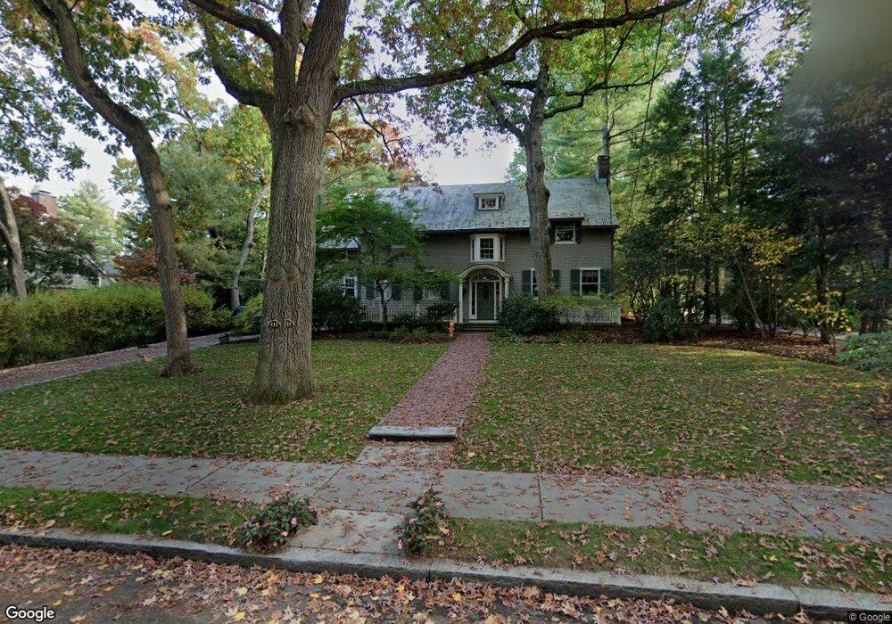
111 Kirkstall Rd Newtonville, MA 02460
Newtonville NeighborhoodEstimated Value: $2,771,702 - $3,960,000
5
Beds
5
Baths
4,732
Sq Ft
$675/Sq Ft
Est. Value
About This Home
This home is located at 111 Kirkstall Rd, Newtonville, MA 02460 and is currently estimated at $3,194,926, approximately $675 per square foot. 111 Kirkstall Rd is a home located in Middlesex County with nearby schools including Cabot Elementary School, F.A. Day Middle School, and Newton North High School.
Ownership History
Date
Name
Owned For
Owner Type
Purchase Details
Closed on
Oct 9, 2012
Sold by
Boskey Richard S and Boskey Cathy
Bought by
Richard S Boskey Ret and Boskey Richard S
Current Estimated Value
Purchase Details
Closed on
Dec 1, 1995
Sold by
Turko Tamar Molly
Bought by
Boskey Richard S and Boskey Cathy S
Purchase Details
Closed on
Sep 1, 1988
Sold by
Blackett Donald W
Bought by
Tamari Molly T
Create a Home Valuation Report for This Property
The Home Valuation Report is an in-depth analysis detailing your home's value as well as a comparison with similar homes in the area
Home Values in the Area
Average Home Value in this Area
Purchase History
| Date | Buyer | Sale Price | Title Company |
|---|---|---|---|
| Richard S Boskey Ret | -- | -- | |
| Boskey Richard S | $715,000 | -- | |
| Tamari Molly T | $480,000 | -- |
Source: Public Records
Mortgage History
| Date | Status | Borrower | Loan Amount |
|---|---|---|---|
| Previous Owner | Tamari Molly T | $384,000 | |
| Previous Owner | Tamari Molly T | $388,000 | |
| Previous Owner | Tamari Molly T | $392,000 |
Source: Public Records
Tax History Compared to Growth
Tax History
| Year | Tax Paid | Tax Assessment Tax Assessment Total Assessment is a certain percentage of the fair market value that is determined by local assessors to be the total taxable value of land and additions on the property. | Land | Improvement |
|---|---|---|---|---|
| 2025 | $30,824 | $3,145,300 | $1,438,600 | $1,706,700 |
| 2024 | $29,804 | $3,053,700 | $1,396,700 | $1,657,000 |
| 2023 | $27,900 | $2,740,700 | $1,093,500 | $1,647,200 |
| 2022 | $26,697 | $2,537,700 | $1,012,500 | $1,525,200 |
| 2021 | $5,490 | $2,394,100 | $955,200 | $1,438,900 |
| 2020 | $5,443 | $2,394,100 | $955,200 | $1,438,900 |
| 2019 | $24,290 | $2,324,400 | $927,400 | $1,397,000 |
| 2018 | $23,539 | $2,175,500 | $823,500 | $1,352,000 |
| 2017 | $22,823 | $2,052,400 | $776,900 | $1,275,500 |
| 2016 | $21,828 | $1,918,100 | $726,100 | $1,192,000 |
| 2015 | $20,812 | $1,792,600 | $678,600 | $1,114,000 |
Source: Public Records
Map
Nearby Homes
- 127-129 Withington Rd Unit 1
- 44 Blake St Unit 2
- 300 Cabot St
- 110 Harvard St Unit A
- 3 Cedar St
- 10 Washington Park
- 10 Washington Park Unit 2
- 10 Washington Park Unit 1
- 34 Morton Rd
- 48 Harvard St Unit 1
- 73 Elmore St
- 22 Walnut Place Unit 1
- 887 Commonwealth Ave
- 61 Lakeview Ave
- 1004 Centre St
- 77 Court St Unit 205
- 911 Washington St
- 686 Centre St
- 935 Washington St Unit 8
- 35 George St Unit 35
- 99 Kirkstall Rd
- 121 Kirkstall Rd
- 191 Upland Rd
- 181 Upland Rd
- 118 Kirkstall Rd
- 171 Upland Rd
- 200 Upland Rd
- 15 Pheasant Rd
- 135 Kirkstall Rd
- 106 Kirkstall Rd
- 124 Kirkstall Rd
- 145 Kirkstall Rd
- 2 Whitney Rd
- 98 Kirkstall Rd
- 163 Upland Rd
- 15 Whitney Rd
- 130 Kirkstall Rd
- 128 Kirkstall Rd
- 83 Kirkstall Rd
- 223 Upland Rd