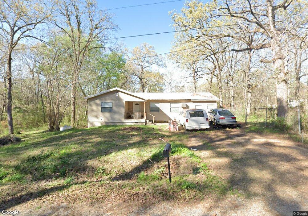
111 Little John Dr Brandon, MS 39042
Brandon AreaEstimated Value: $98,489 - $137,000
About This Home
This home is located at 111 Little John Dr, Brandon, MS 39042 and is currently estimated at $116,872, approximately $115 per square foot. 111 Little John Dr is a home located in Rankin County with nearby schools including McLaurin Elementary School.
Ownership History
We collect this data history from publicly available records. To have your information removed, we recommend requesting removal directly through your county’s website.
Purchase Details
Home Financials for this Owner
Home Financials are based on the most recent Mortgage that was taken out on this home.Purchase History
We collect this data history from publicly available records. To have your information removed, we recommend requesting removal directly through your county’s website.
| Date | Buyer | Sale Price | Title Company |
|---|---|---|---|
| -- | -- |
Mortgage History
We collect this data history from publicly available records. To have your information removed, we recommend requesting removal directly through your county’s website.
| Date | Status | Borrower | Loan Amount |
|---|---|---|---|
| Closed | $59,218 |
Tax History
We collect this data history from publicly available records. To have your information removed, we recommend requesting removal directly through your county’s website.
| Year | Tax Paid | Tax Assessment Tax Assessment Total Assessment is a certain percentage of the fair market value that is determined by local assessors to be the total taxable value of land and additions on the property. | Land | Improvement |
|---|---|---|---|---|
| 2025 | $662 | $6,095 | $0 | $0 |
| 2024 | $650 | $6,095 | $0 | $0 |
| 2023 | $386 | $3,615 | $0 | $0 |
| 2022 | $380 | $3,615 | $0 | $0 |
| 2021 | $380 | $3,615 | $0 | $0 |
| 2020 | $380 | $3,615 | $0 | $0 |
| 2019 | $342 | $3,171 | $0 | $0 |
| 2018 | $336 | $3,171 | $0 | $0 |
| 2017 | $336 | $3,171 | $0 | $0 |
| 2016 | $334 | $3,309 | $0 | $0 |
| 2015 | $334 | $3,309 | $0 | $0 |
| 2014 | $327 | $3,309 | $0 | $0 |
| 2013 | -- | $3,309 | $0 | $0 |
Map
- 112 Sir Richard Rd
- 110 Sir Richard Rd
- 214 New Haven Ln
- 118 Canterbury Rd
- 0 Will Stutely Dr
- 222 New Haven Ln
- 423 Robinhood Trail
- 224 New Haven Ln
- 320 Stronghold Dr
- 108 Bluebird Cove
- 220 New Haven Ln
- 0 Sir Guy Ln
- 146 Lady Marian Rd
- 1392 Old Lake Rd
- 8 Holiday Rd
- 2059 Pebble Creek Dr
- 0 Joe Davis Dr
- 523 Stone Brook Place
- 525 Stone Brook Place
- 511 Stone Brook Place
- 116 Little John Dr
- 113 Allen a Dale Dr
- 102 Will Scarlet Dr
- 120 Will Scarlet Dr
- 104 Will Stutley Dr
- 201 Robinhood Trail
- 106 Allen a Dale Dr
- 108 Allen a Dale Dr
- 108 Will Stutely Dr
- 119 Allen a Dale Dr
- 0 Will Stutley Dr
- 2 Will Stutley Dr
- 1 Will Stutley Dr
- 3 Will Stutley Dr
- 182 Robinhood Trail
- 100 Arthur A Bland Dr
- 110 Robinhood Trail
- 169 Robinhood Trail
- 0 Will Stutley St Unit 1160923
- 0 Will Stutley St Unit 1164821
Ask me questions while you tour the home.