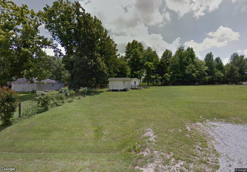
111 Luffman Ln Lawrenceburg, TN 38464
Estimated Value: $83,638 - $256,000
--
Bed
--
Bath
--
Sq Ft
1.1
Acres
About This Home
This home is located at 111 Luffman Ln, Lawrenceburg, TN 38464 and is currently estimated at $151,213. 111 Luffman Ln is a home with nearby schools including Lawrenceburg Public Elementary School, Ingram Sowell Elementary School, and David Crockett Elementary School.
Ownership History
Date
Name
Owned For
Owner Type
Purchase Details
Closed on
May 12, 2020
Sold by
Henderson Travis G and Ball William
Bought by
Henderson Travis G and Henderson Barbara A
Current Estimated Value
Purchase Details
Closed on
Apr 27, 2004
Bought by
Church Cornerstone Baptist
Purchase Details
Closed on
Jun 7, 2002
Bought by
Kimbrel Barbara A and Henderson Travis G
Purchase Details
Closed on
Sep 25, 1992
Bought by
Luffmen Bobby Sherrill and Luffmen Patricia K
Purchase Details
Closed on
Jan 1, 1969
Bought by
Bradley Leo & Alpha H
Purchase Details
Closed on
May 28, 1946
Create a Home Valuation Report for This Property
The Home Valuation Report is an in-depth analysis detailing your home's value as well as a comparison with similar homes in the area
Home Values in the Area
Average Home Value in this Area
Purchase History
| Date | Buyer | Sale Price | Title Company |
|---|---|---|---|
| Henderson Travis G | $15,000 | None Available | |
| Church Cornerstone Baptist | $15,000 | -- | |
| Kimbrel Barbara A | $100,000 | -- | |
| Luffmen Bobby Sherrill | $74,000 | -- | |
| Bradley Leo & Alpha H | -- | -- | |
| -- | -- | -- |
Source: Public Records
Tax History Compared to Growth
Tax History
| Year | Tax Paid | Tax Assessment Tax Assessment Total Assessment is a certain percentage of the fair market value that is determined by local assessors to be the total taxable value of land and additions on the property. | Land | Improvement |
|---|---|---|---|---|
| 2025 | $151 | $4,850 | $0 | $0 |
| 2024 | $151 | $4,850 | $3,450 | $1,400 |
| 2023 | $151 | $4,850 | $3,450 | $1,400 |
| 2022 | $151 | $4,850 | $3,450 | $1,400 |
| 2021 | $166 | $3,775 | $2,200 | $1,575 |
| 2020 | $166 | $3,775 | $2,200 | $1,575 |
| 2019 | $166 | $3,775 | $2,200 | $1,575 |
| 2018 | $166 | $3,775 | $2,200 | $1,575 |
| 2017 | $166 | $3,775 | $2,200 | $1,575 |
| 2016 | $166 | $3,775 | $2,200 | $1,575 |
| 2015 | $157 | $3,775 | $2,200 | $1,575 |
| 2014 | $142 | $3,400 | $2,200 | $1,200 |
Source: Public Records
Map
Nearby Homes
- 1291 S Locust Ave
- 330 Cocke St
- 0 Lexie Ln
- 0 Hayes Rd
- 845 Gaither Ave
- 0 Stewart St
- 511 S Locust Ave
- 316 S Military Ave
- 336 Jackson Ave
- 407 Oakwood Dr
- 220 Jackson Ave
- 113 W Taylor St
- 305 Jackie Dr
- 220 Lafayette Ave
- 213 Pulaski St
- 219 Waterloo St
- 513 Parrish St
- 108 Buffalo Rd
- 1539 Old Florence Rd
- 234 Glenn Springs Rd
- 199 Luffman Ln
- 100 Luffman Ln
- 916 Old Florence Rd
- 1045 Old Florence Rd
- 914 Old Florence Rd
- 1009 Old Florence Rd
- 155 West Rd
- 951 Old Florence Rd
- 910 Old Florence Rd
- 106 Prosser Rd
- 189 West Rd
- 179 West Rd
- 191 West Rd
- 1160 Old Florence Rd
- 907 Old Florence Rd
- 170 West Rd
- 165 Prosser Rd
- 175 Prosser Rd
- 188 West Rd
- 1125 Old Florence Rd