111 Meadow Brook Rd Lancaster, NH 03584
Estimated Value: $157,000 - $553,000
2
Beds
1
Bath
1,406
Sq Ft
$225/Sq Ft
Est. Value
About This Home
This home is located at 111 Meadow Brook Rd, Lancaster, NH 03584 and is currently estimated at $315,968, approximately $224 per square foot. 111 Meadow Brook Rd is a home located in Coos County with nearby schools including Jefferson Elementary School and White Mountains Regional High School.
Create a Home Valuation Report for This Property
The Home Valuation Report is an in-depth analysis detailing your home's value as well as a comparison with similar homes in the area
Home Values in the Area
Average Home Value in this Area
Tax History Compared to Growth
Tax History
| Year | Tax Paid | Tax Assessment Tax Assessment Total Assessment is a certain percentage of the fair market value that is determined by local assessors to be the total taxable value of land and additions on the property. | Land | Improvement |
|---|---|---|---|---|
| 2023 | $2,207 | $123,000 | $38,200 | $84,800 |
| 2022 | $2,283 | $123,000 | $38,200 | $84,800 |
| 2021 | $2,192 | $123,000 | $38,200 | $84,800 |
| 2020 | $2,167 | $96,100 | $25,200 | $70,900 |
| 2019 | $2,113 | $96,100 | $25,200 | $70,900 |
| 2018 | $2,024 | $96,100 | $25,200 | $70,900 |
| 2017 | $1,984 | $96,100 | $25,200 | $70,900 |
| 2016 | $1,959 | $96,100 | $25,200 | $70,900 |
| 2015 | $2,002 | $98,300 | $25,200 | $73,100 |
| 2014 | $2,002 | $98,300 | $25,200 | $73,100 |
| 2013 | $1,941 | $98,300 | $25,200 | $73,100 |
Source: Public Records
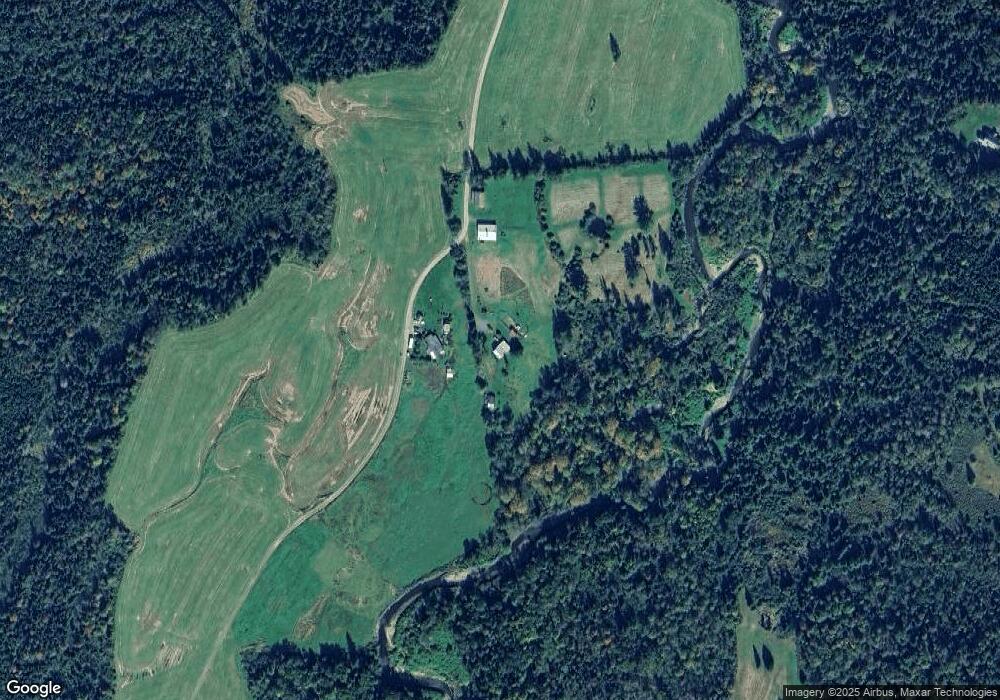
Map
Nearby Homes
- 48 Jason Ave
- 85 Jason Ave
- 435 North Rd
- 97 Jason Ave
- 22 Crystal Ave
- 0 Bray Hill Rd Unit 5044055
- 86 & 89 Garland Rd
- 0 Garland Rd Unit 38
- 729 Presidential Hwy
- 218 Portland St
- Lot 82 Portland St
- Lot 2 Portland St
- 86 & 90 Garland Rd
- 19 Great Rock Rd
- 959 Presidential Hwy
- 140 Middle St
- Lot 26 Hartco Ave
- Lot 21 Hartco Ave
- Lot 11 Hartco Ave
- Lot 14 Hartco Ave