111 Moore Dr Brandon, MS 39042
Estimated Value: $95,000 - $822,828
3
Beds
1
Bath
837
Sq Ft
$392/Sq Ft
Est. Value
About This Home
This home is located at 111 Moore Dr, Brandon, MS 39042 and is currently estimated at $327,707, approximately $391 per square foot. 111 Moore Dr is a home located in Rankin County with nearby schools including Puckett Elementary School and Puckett High School.
Ownership History
Date
Name
Owned For
Owner Type
Purchase Details
Closed on
Dec 13, 2024
Sold by
Gps Land Company Llc
Bought by
Mis Inc
Current Estimated Value
Purchase Details
Closed on
Sep 19, 2019
Sold by
Gps Land Co Llc
Bought by
Gps Land Co Llc and Mis Inc
Create a Home Valuation Report for This Property
The Home Valuation Report is an in-depth analysis detailing your home's value as well as a comparison with similar homes in the area
Home Values in the Area
Average Home Value in this Area
Purchase History
| Date | Buyer | Sale Price | Title Company |
|---|---|---|---|
| Mis Inc | -- | None Listed On Document | |
| Mis Inc | -- | None Listed On Document | |
| Gps Land Co Llc | -- | -- |
Source: Public Records
Tax History Compared to Growth
Tax History
| Year | Tax Paid | Tax Assessment Tax Assessment Total Assessment is a certain percentage of the fair market value that is determined by local assessors to be the total taxable value of land and additions on the property. | Land | Improvement |
|---|---|---|---|---|
| 2024 | $161 | $1,635 | $0 | $0 |
| 2023 | $161 | $1,635 | $0 | $0 |
| 2022 | $159 | $1,635 | $0 | $0 |
| 2021 | $122 | $1,260 | $0 | $0 |
| 2020 | $122 | $1,260 | $0 | $0 |
| 2019 | $126 | $1,260 | $0 | $0 |
| 2018 | $123 | $1,260 | $0 | $0 |
| 2017 | $123 | $1,260 | $0 | $0 |
| 2016 | $257 | $2,760 | $0 | $0 |
| 2015 | $257 | $2,760 | $0 | $0 |
| 2014 | $662 | $7,284 | $0 | $0 |
| 2013 | -- | $7,284 | $0 | $0 |
Source: Public Records
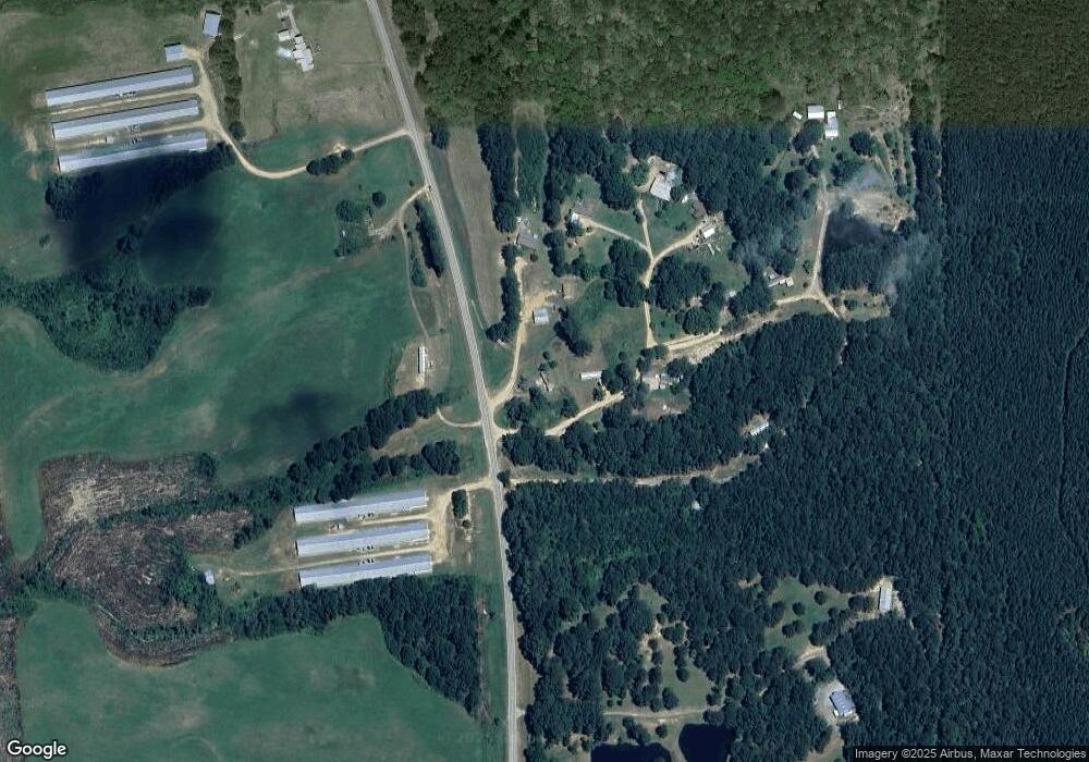
Map
Nearby Homes
- 0 Ashley Rd Unit 25129785
- 0 Ashley Rd Unit 4128194
- 0 Ashley Rd Unit 4128192
- 0 Ashley Rd Unit 20288528
- 127 Ole Magnolia Dr
- 1314 Ashley Rd
- 00 Ashley Rd
- Johns Shilow Rd
- 860a Oil Well Rd
- 873 Smith Co Road 142
- 410 Cole Rd
- 235 Woodrow Martin Rd
- 2072 Quail Hill Rd
- 0 Tullos Cove
- 797 County Line Rd
- 429 Rose Hill Rd
- 1882 Mississippi 541
- 0 County Line Rd Unit 4123067
- 329 County Line Rd
- 00 Johns Shiloh Rd
- 122 Ethel Dr
- 111 Ethel Dr
- 115 Ethel Dr
- 117 Ethel Dr
- 162 Ethel Moore Rd
- 3249 Highway 43 S
- 3152 Highway 43 S
- 3250 Highway 43 S
- 3278 Highway 43 S
- 32 Johns-Mayton Rd Unit acres
- 0 Johns-Mayton Rd
- 3091 Highway 43 S
- 3058 Highway 43 S
- 3053 Highway 43 S
- 1852 Johns Mayton Rd
- 0 Hwy 43- Tract E
- 3320 Highway 43 S
- 3353 Highway 43 Hwy
- 0 Hwy 43 - Tract D
- 3353 Highway 43 S