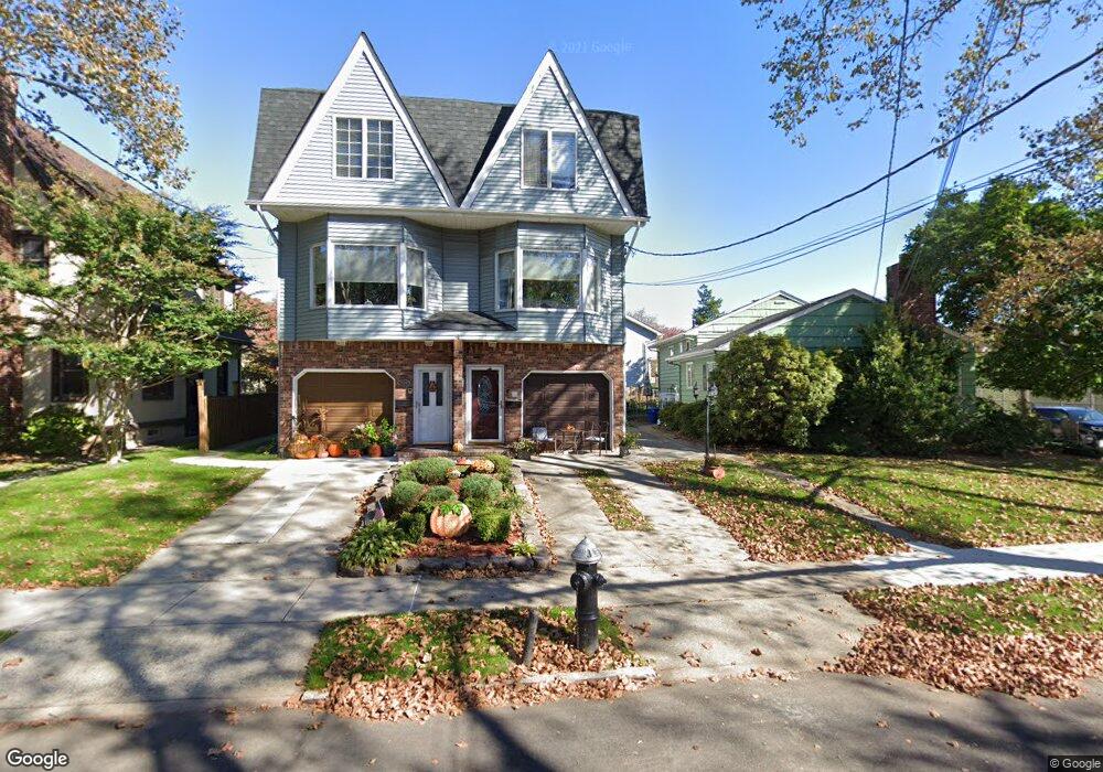
111 Otis Ave Staten Island, NY 10306
New Dorp NeighborhoodEstimated Value: $656,326 - $874,000
--
Bed
4
Baths
1,150
Sq Ft
$661/Sq Ft
Est. Value
About This Home
This home is located at 111 Otis Ave, Staten Island, NY 10306 and is currently estimated at $760,332, approximately $661 per square foot. 111 Otis Ave is a home located in Richmond County with nearby schools including P.S. 41 The Stephanie a Vierno School, Is 2 George L Egbert, and New Dorp High School.
Ownership History
Date
Name
Owned For
Owner Type
Purchase Details
Closed on
May 24, 2012
Sold by
Lagrua Leticia
Bought by
Lagrua Leticia and Lagrua Edward J
Current Estimated Value
Home Financials for this Owner
Home Financials are based on the most recent Mortgage that was taken out on this home.
Original Mortgage
$19,020
Interest Rate
3.9%
Mortgage Type
New Conventional
Purchase Details
Closed on
Sep 23, 1998
Sold by
Lagrua Edward and Lagrua Leticia
Bought by
Lagrua Leticia
Create a Home Valuation Report for This Property
The Home Valuation Report is an in-depth analysis detailing your home's value as well as a comparison with similar homes in the area
Home Values in the Area
Average Home Value in this Area
Purchase History
| Date | Buyer | Sale Price | Title Company |
|---|---|---|---|
| Lagrua Leticia | -- | None Available | |
| Lagrua Leticia | $100,000 | Commonwealth Land Title Ins |
Source: Public Records
Mortgage History
| Date | Status | Borrower | Loan Amount |
|---|---|---|---|
| Closed | Lagrua Leticia | $19,020 |
Source: Public Records
Tax History Compared to Growth
Tax History
| Year | Tax Paid | Tax Assessment Tax Assessment Total Assessment is a certain percentage of the fair market value that is determined by local assessors to be the total taxable value of land and additions on the property. | Land | Improvement |
|---|---|---|---|---|
| 2025 | $5,071 | $40,980 | $4,877 | $36,103 |
| 2024 | $5,084 | $39,900 | $4,769 | $35,131 |
| 2023 | $4,822 | $25,142 | $4,889 | $20,253 |
| 2022 | $4,649 | $34,800 | $7,140 | $27,660 |
| 2021 | $4,606 | $33,900 | $7,140 | $26,760 |
| 2020 | $4,642 | $35,520 | $7,140 | $28,380 |
| 2019 | $4,353 | $33,600 | $7,140 | $26,460 |
| 2018 | $3,973 | $20,952 | $4,704 | $16,248 |
| 2017 | $3,901 | $20,606 | $5,377 | $15,229 |
| 2016 | $3,576 | $19,440 | $5,916 | $13,524 |
| 2015 | $3,247 | $19,440 | $5,644 | $13,796 |
| 2014 | $3,247 | $18,507 | $5,265 | $13,242 |
Source: Public Records
Map
Nearby Homes
- 24 Bancroft Ave
- 84 Bryant Ave
- 32 Otis Ave
- 77 Burbank Ave
- 155 Burbank Ave
- 164 Burbank Ave
- 79 Cloister Place
- 2390 Richmond Rd
- 78 Cloister Place
- 86 Fremont Ave
- 109 Saint Stephens Place
- 2419 Richmond Rd
- 2136 Richmond Rd
- 75 Jacques Ave
- 25 Lincoln Ave
- 142 Fremont Ave
- 41 Lincoln Ave
- 25 4th St
- 20 8 St
- 35 4 St
- 109 Otis Ave
- 107 Otis Ave
- 1283 N Railroad Ave
- 1279 N Railroad Ave
- 105 Otis Ave
- 1277 N Railroad Ave
- 1275 N Railroad Ave
- 1273 N Railroad Ave
- 106 Otis Ave
- 112 Otis Ave
- 108 Otis Ave
- 101 Otis Ave
- 1271 N Railroad Ave
- 1271 N Railroad Ave Unit 2
- 1301 N Railroad Ave
- 1269 N Railroad Ave
- 104 Otis Ave
- 102 Otis Ave
- 138 Kruser St
- 1263 N Railroad Ave