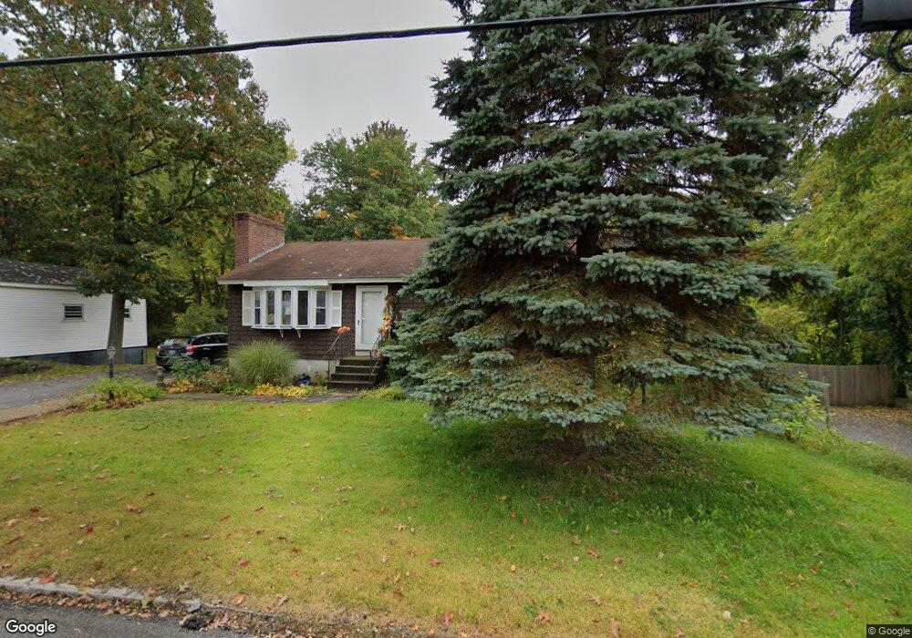
111 President Rd Manchester, NH 03103
Highlands NeighborhoodEstimated Value: $422,000 - $448,000
2
Beds
2
Baths
1,232
Sq Ft
$355/Sq Ft
Est. Value
About This Home
This home is located at 111 President Rd, Manchester, NH 03103 and is currently estimated at $437,788, approximately $355 per square foot. 111 President Rd is a home located in Hillsborough County with nearby schools including Highland-Goffes Falls School, Southside Middle School, and Manchester Memorial High School.
Ownership History
Date
Name
Owned For
Owner Type
Purchase Details
Closed on
May 1, 2025
Sold by
Lalanne Ft and Lalanne
Bought by
Lalanne Jacqueline I
Current Estimated Value
Purchase Details
Closed on
Mar 21, 2024
Sold by
Lalanne Rodney D and Lalanne Jacqueline I
Bought by
Lalanne Ft and Lalanne
Purchase Details
Closed on
Oct 24, 1995
Bought by
Lalanne Rodney D
Create a Home Valuation Report for This Property
The Home Valuation Report is an in-depth analysis detailing your home's value as well as a comparison with similar homes in the area
Home Values in the Area
Average Home Value in this Area
Purchase History
| Date | Buyer | Sale Price | Title Company |
|---|---|---|---|
| Lalanne Jacqueline I | -- | None Available | |
| Lalanne Jacqueline I | -- | None Available | |
| Lalanne Ft | -- | None Available | |
| Lalanne Ft | -- | None Available | |
| Lalanne Ft | -- | None Available | |
| Lalanne Rodney D | $80,000 | -- |
Source: Public Records
Mortgage History
| Date | Status | Borrower | Loan Amount |
|---|---|---|---|
| Previous Owner | Lalanne Rodney D | $125,000 | |
| Previous Owner | Lalanne Rodney D | $115,000 | |
| Previous Owner | Lalanne Rodney D | $70,000 |
Source: Public Records
Tax History Compared to Growth
Tax History
| Year | Tax Paid | Tax Assessment Tax Assessment Total Assessment is a certain percentage of the fair market value that is determined by local assessors to be the total taxable value of land and additions on the property. | Land | Improvement |
|---|---|---|---|---|
| 2024 | $5,627 | $287,400 | $98,500 | $188,900 |
| 2023 | $5,420 | $287,400 | $98,500 | $188,900 |
| 2022 | $5,242 | $287,400 | $98,500 | $188,900 |
| 2021 | $5,081 | $287,400 | $98,500 | $188,900 |
| 2020 | $4,705 | $190,800 | $67,900 | $122,900 |
| 2019 | $4,640 | $190,800 | $67,900 | $122,900 |
| 2018 | $4,518 | $190,800 | $67,900 | $122,900 |
| 2017 | $4,449 | $190,800 | $67,900 | $122,900 |
| 2016 | $4,415 | $190,800 | $67,900 | $122,900 |
| 2015 | $4,524 | $193,000 | $67,900 | $125,100 |
| 2014 | $4,536 | $193,000 | $67,900 | $125,100 |
| 2013 | $4,375 | $193,000 | $67,900 | $125,100 |
Source: Public Records
Map
Nearby Homes
- 145 Fox St
- 67 Murphy St
- 700 S Beech St
- 545 Calef Rd Unit 26
- 161 Flint St
- 202 Mitchell St
- 112 Riverdale Ave
- 35 W Mitchell St
- 87 Harrington Ave
- 197 Laxson Ave
- 63 Parkview St
- 167 Jobin Dr
- 73 Lucille St
- 60 W Elmwood Ave
- 323 Seames Dr
- 47 Rosedale Ave
- 33 W Elmhurst Ave Unit B
- 412 W Mitchell St
- 56 Robert Ct Unit H
- 80 Billings St