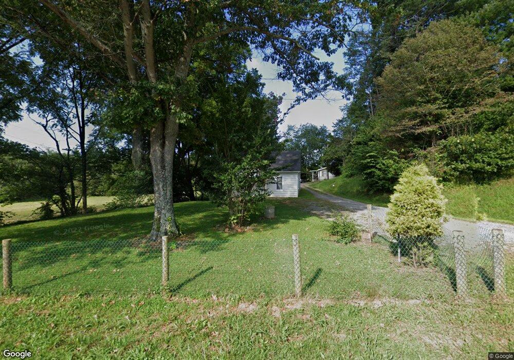
111 Sams Way Mount Airy, NC 27030
Estimated Value: $110,000 - $143,000
2
Beds
1
Bath
672
Sq Ft
$185/Sq Ft
Est. Value
About This Home
This home is located at 111 Sams Way, Mount Airy, NC 27030 and is currently estimated at $124,302, approximately $184 per square foot. 111 Sams Way is a home with nearby schools including Pilot Mountain Elementary School, Pilot Mountain Middle School, and East Surry High School.
Ownership History
Date
Name
Owned For
Owner Type
Purchase Details
Closed on
Aug 5, 2021
Sold by
Duarte Leguizamo-Navarro J and Duarte Maria R
Bought by
Rodriguez Gersson L and Perez-Bucio Marilee
Current Estimated Value
Purchase Details
Closed on
Dec 17, 2020
Sold by
L-Rodriguez Gersson and Perez-Bucio Marilee
Bought by
Leguizamo-Navarro J N
Purchase Details
Closed on
Jul 3, 2014
Sold by
Hall Samuel D and Hall Kimberly J
Bought by
Rodriguez Gersson Leguizamo and Bucio Marylee Perez
Purchase Details
Closed on
Sep 6, 2005
Sold by
Monday Frankie S
Bought by
Hall Samuel D
Create a Home Valuation Report for This Property
The Home Valuation Report is an in-depth analysis detailing your home's value as well as a comparison with similar homes in the area
Home Values in the Area
Average Home Value in this Area
Purchase History
| Date | Buyer | Sale Price | Title Company |
|---|---|---|---|
| Rodriguez Gersson L | -- | None Available | |
| Leguizamo-Navarro J N | -- | None Available | |
| Rodriguez Gersson Leguizamo | $35,000 | None Available | |
| Hall Samuel D | -- | None Available |
Source: Public Records
Tax History Compared to Growth
Tax History
| Year | Tax Paid | Tax Assessment Tax Assessment Total Assessment is a certain percentage of the fair market value that is determined by local assessors to be the total taxable value of land and additions on the property. | Land | Improvement |
|---|---|---|---|---|
| 2025 | $505 | $58,670 | $14,000 | $44,670 |
| 2024 | $437 | $44,790 | $13,000 | $31,790 |
| 2023 | $428 | $44,790 | $13,000 | $31,790 |
| 2022 | $425 | $44,790 | $13,000 | $31,790 |
| 2021 | $424 | $44,790 | $13,000 | $31,790 |
| 2020 | $407 | $43,480 | $13,000 | $30,480 |
| 2019 | $398 | $43,480 | $0 | $0 |
| 2018 | $414 | $43,480 | $0 | $0 |
| 2017 | $392 | $43,480 | $0 | $0 |
| 2016 | $320 | $43,480 | $0 | $0 |
| 2013 | -- | $37,300 | $0 | $0 |
Source: Public Records
Map
Nearby Homes
- 115 Stout Ln
- 278 Old Us Highway 52
- 181 Fox Walk Ln
- 366 Sheep Farm Rd
- 208 Holly Ave
- 177 Janice Dr
- 201 Circle View Rd
- 138 Arthur Needham Rd
- 0 Old Us Highway 52 S
- 250 High Meadow Trail
- TBD Marbury Trail
- TBD Eddington Ln
- TBD Ingleside Way
- 0 Chestnut Ridge Rd
- 211 Service Rd
- 906 Long Hill Rd
- 235 Hunter Ridge Ln
- xx Gilley Rd Unit 20.63 acres
- 446 Gilley Rd
- 735 Old Us 52 S
- 249 Gospel Time Way
- 863 Old Us 52 S
- 864 Old Us 52 S
- 300 Woodcreek Dr
- 893 Old Us Highway 52
- 299 Woodcreek Dr
- 270 Woodcreek Dr
- 289 Woodcreek Dr
- 901 Old Us Highway 52 S
- 262 Woodcreek Dr
- 277 Woodcreek Dr
- 158 Hooks Dr
- 909 Old Us 52 S
- 256 Woodcreek Dr
- 148 Hooks Dr
- 257 Woodcreek Dr
- 140 Hooks Dr
- 248 Woodcreek Dr
- 738 Hiatt Rd