111 Smoke Ln Ardmore, OK 73401
Estimated Value: $143,000 - $171,000
3
Beds
2
Baths
1,471
Sq Ft
$110/Sq Ft
Est. Value
About This Home
This home is located at 111 Smoke Ln, Ardmore, OK 73401 and is currently estimated at $161,864, approximately $110 per square foot. 111 Smoke Ln is a home located in Johnston County with nearby schools including Mannsville Public School.
Ownership History
Date
Name
Owned For
Owner Type
Purchase Details
Closed on
Mar 26, 2021
Sold by
Gray Vanessa L
Bought by
Gray Vanessa and Gray Derek
Current Estimated Value
Purchase Details
Closed on
Oct 5, 2018
Sold by
King Kennita
Bought by
Hill Vanessa
Home Financials for this Owner
Home Financials are based on the most recent Mortgage that was taken out on this home.
Original Mortgage
$78,551
Interest Rate
4.25%
Mortgage Type
FHA
Purchase Details
Closed on
Jun 24, 2016
Sold by
King Andrew Scott
Bought by
King Kennita
Purchase Details
Closed on
Sep 9, 2013
Sold by
Cargal John P and Cargal Sharon L
Bought by
King Andrew and King Kennita
Home Financials for this Owner
Home Financials are based on the most recent Mortgage that was taken out on this home.
Original Mortgage
$85,050
Interest Rate
4.41%
Mortgage Type
Unknown
Create a Home Valuation Report for This Property
The Home Valuation Report is an in-depth analysis detailing your home's value as well as a comparison with similar homes in the area
Home Values in the Area
Average Home Value in this Area
Purchase History
| Date | Buyer | Sale Price | Title Company |
|---|---|---|---|
| Gray Vanessa | -- | None Listed On Document | |
| Gray Vanessa | -- | None Available | |
| Hill Vanessa | $80,000 | None Available | |
| King Kennita | -- | None Available | |
| King Andrew | $94,500 | None Available |
Source: Public Records
Mortgage History
| Date | Status | Borrower | Loan Amount |
|---|---|---|---|
| Previous Owner | Hill Vanessa | $78,551 | |
| Previous Owner | King Andrew | $85,050 |
Source: Public Records
Tax History Compared to Growth
Tax History
| Year | Tax Paid | Tax Assessment Tax Assessment Total Assessment is a certain percentage of the fair market value that is determined by local assessors to be the total taxable value of land and additions on the property. | Land | Improvement |
|---|---|---|---|---|
| 2025 | $936 | $11,769 | $945 | $10,824 |
| 2024 | $892 | $11,208 | $900 | $10,308 |
| 2023 | $892 | $10,675 | $900 | $9,775 |
| 2022 | $849 | $10,675 | $900 | $9,775 |
| 2021 | $849 | $10,675 | $900 | $9,775 |
| 2020 | $849 | $10,675 | $900 | $9,775 |
| 2019 | $968 | $10,681 | $900 | $9,781 |
| 2018 | $950 | $11,680 | $540 | $11,140 |
| 2017 | $930 | $11,340 | $540 | $10,800 |
| 2016 | $947 | $11,340 | $540 | $10,800 |
| 2015 | $946 | $11,340 | $540 | $10,800 |
| 2014 | $997 | $11,340 | $540 | $10,800 |
Source: Public Records
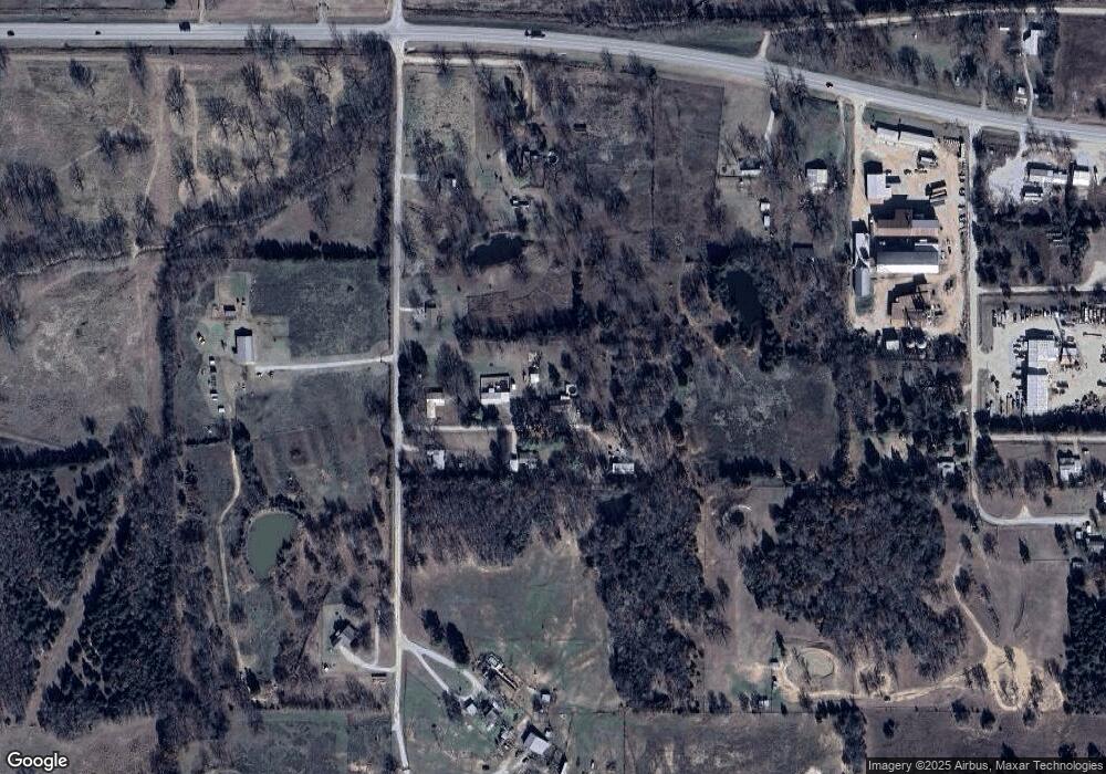
Map
Nearby Homes
- 0 Timber Ln
- 13106 Clayhill Ln
- Tbd Hwy 199
- 1925 Old Highway 70
- Greasy Bend Rd
- 54 Pecan St
- 268 Birch Rd
- 3376 Old Hwy 70
- 3376 Old Highway 70
- 3419 State Highway 199
- 3484 State Highway 199
- 24243 Tiny Chapel Rd
- 13 Titan Dr
- 2 Titan Dr
- 1 Titan Dr
- 1114 Comet Rd
- 0 Tyler Rd
- 1000 Ponderosa Rd
- 0 Highway 199
- 6296 Dickson Rd