111 Snowood Dr Unit A2 Thornton, NH 03285
Estimated Value: $333,000 - $416,000
3
Beds
2
Baths
1,214
Sq Ft
$307/Sq Ft
Est. Value
About This Home
This home is located at 111 Snowood Dr Unit A2, Thornton, NH 03285 and is currently estimated at $372,478, approximately $306 per square foot. 111 Snowood Dr Unit A2 is a home located in Grafton County with nearby schools including Thornton Central School and Plymouth Regional High School.
Ownership History
Date
Name
Owned For
Owner Type
Purchase Details
Closed on
May 12, 2023
Sold by
Prevett-Mccarthy Lois I
Bought by
Stevens Lisabritt S and Stevens William H
Current Estimated Value
Home Financials for this Owner
Home Financials are based on the most recent Mortgage that was taken out on this home.
Original Mortgage
$289,800
Outstanding Balance
$281,639
Interest Rate
6.32%
Mortgage Type
Purchase Money Mortgage
Estimated Equity
$90,839
Create a Home Valuation Report for This Property
The Home Valuation Report is an in-depth analysis detailing your home's value as well as a comparison with similar homes in the area
Home Values in the Area
Average Home Value in this Area
Purchase History
| Date | Buyer | Sale Price | Title Company |
|---|---|---|---|
| Stevens Lisabritt S | $322,000 | None Available |
Source: Public Records
Mortgage History
| Date | Status | Borrower | Loan Amount |
|---|---|---|---|
| Open | Stevens Lisabritt S | $289,800 |
Source: Public Records
Tax History Compared to Growth
Tax History
| Year | Tax Paid | Tax Assessment Tax Assessment Total Assessment is a certain percentage of the fair market value that is determined by local assessors to be the total taxable value of land and additions on the property. | Land | Improvement |
|---|---|---|---|---|
| 2024 | $3,973 | $349,400 | $0 | $349,400 |
| 2023 | $3,162 | $152,300 | $0 | $152,300 |
| 2022 | $3,048 | $152,300 | $0 | $152,300 |
| 2021 | $3,163 | $152,300 | $0 | $152,300 |
| 2020 | $3,063 | $152,300 | $0 | $152,300 |
| 2019 | $2,845 | $152,300 | $0 | $152,300 |
| 2018 | $2,543 | $129,700 | $0 | $129,700 |
| 2017 | $2,536 | $129,700 | $0 | $129,700 |
| 2016 | $2,515 | $129,700 | $0 | $129,700 |
| 2015 | $2,477 | $129,700 | $0 | $129,700 |
| 2014 | -- | $129,700 | $0 | $129,700 |
| 2013 | $2,771 | $151,100 | $0 | $151,100 |
Source: Public Records
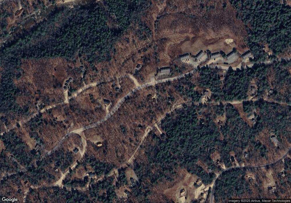
Map
Nearby Homes
- 11 Weeping Birches Ln
- 34 Liberty Ln Unit 2
- 1 Condo Rd Unit 1
- 18 Condo Rd Unit 1
- 0 Checkerberry Ridge Rd Unit 142
- 129 Hodgeman Hill Rd
- C100 Hodgeman Hill Rd
- 14 Parker Rd Unit C-2
- 911 New Hampshire 49
- 37 Pegwood Hill Rd
- 000 Upper Mad River Rd Unit 7
- 88 Donovan Farm Rd
- 36 Briarcliff Cir
- Lot 1 Pegwood Rd
- 612 Upper Mad River Rd Unit B
- 612 Upper Mad River Rd Unit A
- 612 Upper Mad River Rd Unit C
- 00 Summit Dr Unit 24
- 136 Summit Dr
- 110 Tamarack Rd
- 111 Snowood Dr Unit A5
- 111 Snowood Dr Unit A4
- 111 Snowood Dr Unit A3
- 111 Snowood Dr Unit A2
- 111 Snowood Dr Unit A1
- 131 Snowood Dr Unit C 2
- 131 Snowood Dr Unit C-3
- 143 Snowood Dr
- 143 Snowood Dr Unit F3C
- 143 Snowood Dr Unit F3B
- 143 Snowood Dr Unit F1B
- 143 Snowood Dr Unit F5
- 143 Snowood Dr Unit F4
- 143 Snowood Dr Unit F3
- 143 Snowood Dr Unit F2
- 143 Snowood Dr Unit F1
- 143 Snowood Dr Unit F2
- 143 Snowood Dr Unit 1
- 138 Snowood Dr
- 135 Snowood Dr Unit E3