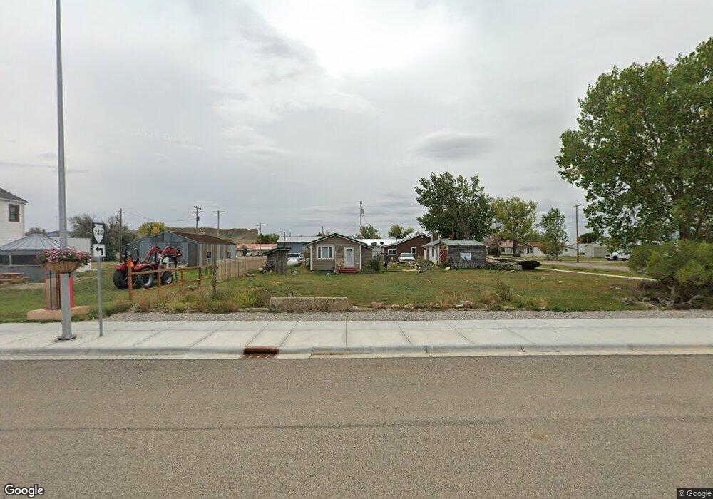
111 W Main St Winnett, MT 59087
Estimated Value: $127,875 - $467,000
1
Bed
1
Bath
1,192
Sq Ft
$214/Sq Ft
Est. Value
About This Home
This home is located at 111 W Main St, Winnett, MT 59087 and is currently estimated at $254,969, approximately $213 per square foot. 111 W Main St is a home located in Petroleum County with nearby schools including Winnett High School.
Ownership History
Date
Name
Owned For
Owner Type
Purchase Details
Closed on
Jun 4, 2025
Sold by
Wiltse Robert H
Bought by
Cameron Jace
Current Estimated Value
Home Financials for this Owner
Home Financials are based on the most recent Mortgage that was taken out on this home.
Original Mortgage
$108,000
Outstanding Balance
$107,188
Interest Rate
0.68%
Mortgage Type
Construction
Estimated Equity
$147,781
Purchase Details
Closed on
Aug 15, 2002
Bought by
Morton Doris M and Wiltse Robert H
Create a Home Valuation Report for This Property
The Home Valuation Report is an in-depth analysis detailing your home's value as well as a comparison with similar homes in the area
Home Values in the Area
Average Home Value in this Area
Purchase History
| Date | Buyer | Sale Price | Title Company |
|---|---|---|---|
| Cameron Jace | $135,000 | Flying S Title & Escrow-Lewist | |
| Morton Doris M | -- | -- |
Source: Public Records
Mortgage History
| Date | Status | Borrower | Loan Amount |
|---|---|---|---|
| Open | Cameron Jace | $108,000 |
Source: Public Records
Tax History Compared to Growth
Tax History
| Year | Tax Paid | Tax Assessment Tax Assessment Total Assessment is a certain percentage of the fair market value that is determined by local assessors to be the total taxable value of land and additions on the property. | Land | Improvement |
|---|---|---|---|---|
| 2025 | $435 | $70,100 | $0 | $0 |
| 2024 | $119 | $53,000 | $0 | $0 |
| 2023 | $131 | $53,000 | $0 | $0 |
| 2022 | $94 | $42,950 | $0 | $0 |
| 2021 | $93 | $42,950 | $0 | $0 |
| 2020 | $84 | $38,190 | $0 | $0 |
| 2019 | $84 | $38,190 | $0 | $0 |
| 2018 | $72 | $35,400 | $0 | $0 |
| 2017 | $77 | $35,400 | $0 | $0 |
| 2016 | $34 | $19,100 | $0 | $0 |
| 2015 | $49 | $21,770 | $0 | $0 |
| 2014 | $26 | $6,540 | $0 | $0 |
Source: Public Records
Map
Nearby Homes
- 105 W Milsap
- 313 Teigen Ave
- 308 E Wheeler St
- TBD Elk Creek Rd
- 2627 Elk Creek Rd
- 661 Dovetail Valentine Rd
- N/A Tbd
- NHN Elk Creek Rd
- 2725 Lower River Rd
- 221 1st St East Grass Range
- 221 E 1st St
- 1572 Trophy Ridge Ln
- 1572 Trophy Ridge Rd
- 2786 79 Trail
- 2791 79 Trail
- 669 Old Stage Rd
- 00 E Smith Ln
- Tbd Hwy 87
- 111 W Main St
- 115 W Main St
- 110 S Moulton St
- NHN Dry Wolf Coulee
- 101 S Moulton St
- 1 Broadway Ave
- 104 N Moulton St
- 15 S Broadway
- 115 S Moulton St
- 13 Moulton Ave
- 102 S Moulton St
- 101 N Moulton St
- 101 S Broadway
- 204 S Moulton St
- 203 S Moulton St
- 108 S Teigen St
- 206 S Moulton St
- 115 S Broadway
- TBD W Main
- 208 S Moulton St