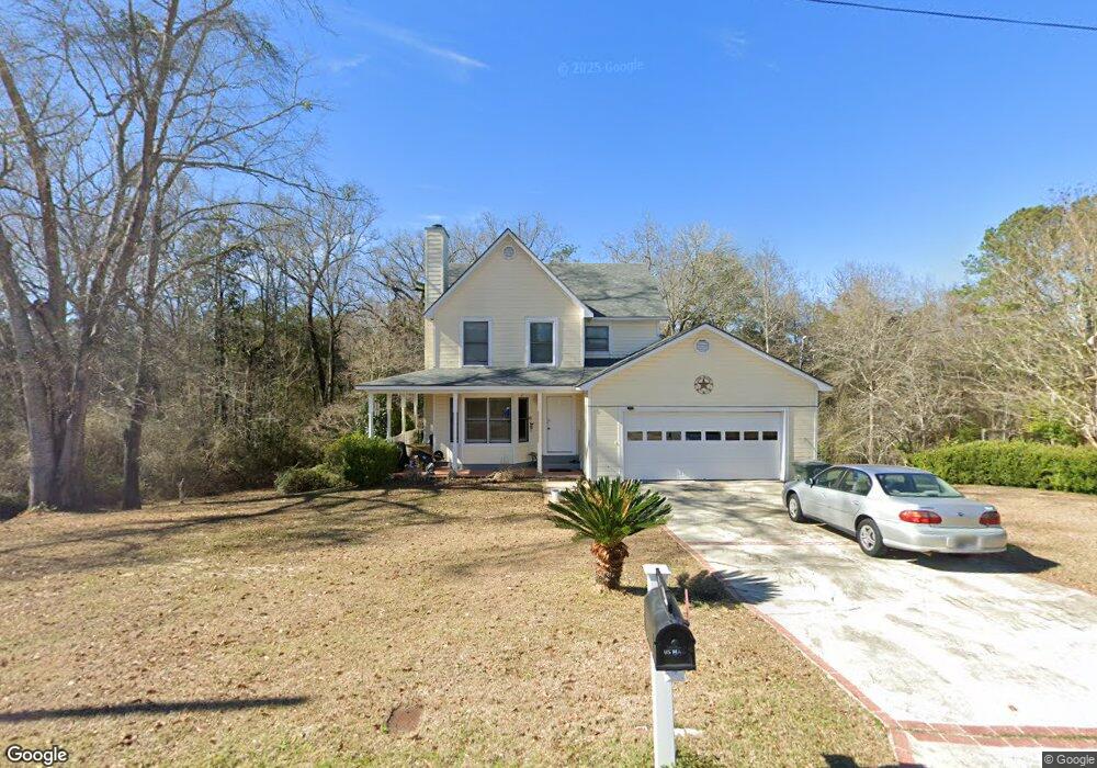
111 W Silver Oak Dr Enterprise, AL 36330
Estimated Value: $167,000 - $186,000
--
Bed
1
Bath
1,300
Sq Ft
$138/Sq Ft
Est. Value
About This Home
This home is located at 111 W Silver Oak Dr, Enterprise, AL 36330 and is currently estimated at $179,568, approximately $138 per square foot. 111 W Silver Oak Dr is a home located in Coffee County with nearby schools including Harrand Creek Elementary School, Dauphin Junior High School, and Enterprise High School.
Ownership History
Date
Name
Owned For
Owner Type
Purchase Details
Closed on
Jun 3, 2019
Sold by
Evans Gerald M and Evans Susanne A
Bought by
Horton Blake A and Whitehead Dusti
Current Estimated Value
Home Financials for this Owner
Home Financials are based on the most recent Mortgage that was taken out on this home.
Original Mortgage
$126,262
Outstanding Balance
$111,015
Interest Rate
4.1%
Mortgage Type
New Conventional
Estimated Equity
$68,553
Create a Home Valuation Report for This Property
The Home Valuation Report is an in-depth analysis detailing your home's value as well as a comparison with similar homes in the area
Home Values in the Area
Average Home Value in this Area
Purchase History
| Date | Buyer | Sale Price | Title Company |
|---|---|---|---|
| Horton Blake A | $125,000 | None Available |
Source: Public Records
Mortgage History
| Date | Status | Borrower | Loan Amount |
|---|---|---|---|
| Open | Horton Blake A | $126,262 |
Source: Public Records
Tax History Compared to Growth
Tax History
| Year | Tax Paid | Tax Assessment Tax Assessment Total Assessment is a certain percentage of the fair market value that is determined by local assessors to be the total taxable value of land and additions on the property. | Land | Improvement |
|---|---|---|---|---|
| 2024 | $662 | $15,620 | $1,531 | $14,089 |
| 2023 | $611 | $12,948 | $1,500 | $11,448 |
| 2022 | $547 | $12,960 | $0 | $0 |
| 2021 | $484 | $11,520 | $0 | $0 |
| 2020 | $467 | $11,120 | $0 | $0 |
| 2019 | $835 | $18,500 | $0 | $0 |
| 2018 | $830 | $18,380 | $0 | $0 |
| 2017 | $780 | $17,240 | $0 | $0 |
| 2016 | $792 | $17,520 | $0 | $0 |
| 2015 | $792 | $17,520 | $0 | $0 |
| 2014 | $762 | $16,820 | $0 | $0 |
| 2013 | $806 | $0 | $0 | $0 |
Source: Public Records
Map
Nearby Homes
- 202 Harrand Creek Dr
- 110 Barbara Dr
- 101 Liveoak Dr
- 209 Wildwood Dr
- 103 Oakview Cir
- 435 Sandy Oak Dr
- 126 Davis Way
- 608 Wildwood Dr
- 107 Brooke Ln
- 216 Morgan Ln
- 110 Brooke Ln
- 114 Iroquois Rd
- 302 Robin Ln
- 100 W Emerald Dr
- 506 Riverwood Dr
- 105 Comanche St
- 208 Deerfield Dr
- 202 Deerfield Dr
- 101 Mohegan Dr
- 109 Cahaba St
- 111 W Silver Oak Dr
- 111 W Silver Oak Dr
- 113 W Silver Oak Dr
- 109 W Silver Oak Dr
- 104 W Silver Oak Dr
- 115 W Silver Oak Dr
- 102 W Silver Oak Dr
- 105 W Silver Oak Dr
- 106 W Silver Oak Dr
- 117 W Silver Oak Dr
- 207 Harrand Creek Dr
- 100 W Silver Oak Dr
- 103 W Silver Oak Dr
- 103 W Silver Oak Dr
- 108 W Silver Oak Dr
- 209 Harrand Creek Dr
- 101 E Silver Oak Dr
- 119 W Silver Oak Dr
- 101 W Silver Oak Dr
- 110 W Silver Oak Dr