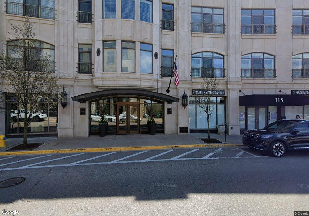
The Willits 111 Willits St Birmingham, MI 48009
Estimated Value: $997,000 - $1,530,000
2
Beds
3
Baths
1,693
Sq Ft
$765/Sq Ft
Est. Value
About This Home
This home is located at 111 Willits St, Birmingham, MI 48009 and is currently estimated at $1,294,483, approximately $764 per square foot. 111 Willits St is a home located in Oakland County with nearby schools including Pierce Elementary School, Derby Middle School, and Ernest W. Seaholm High School.
Ownership History
Date
Name
Owned For
Owner Type
Purchase Details
Closed on
Sep 26, 2025
Sold by
Marcia Applebaum Property Trust
Bought by
Pamela A Applebaum Non-Exempt Issue Trust
Current Estimated Value
Purchase Details
Closed on
Oct 16, 2018
Sold by
Anderson Matthew L
Bought by
Marcia Applebaum Property Trust
Purchase Details
Closed on
Apr 21, 2003
Sold by
Willits Residential Llc
Bought by
Anderson Matthew L
Create a Home Valuation Report for This Property
The Home Valuation Report is an in-depth analysis detailing your home's value as well as a comparison with similar homes in the area
Home Values in the Area
Average Home Value in this Area
Purchase History
| Date | Buyer | Sale Price | Title Company |
|---|---|---|---|
| Pamela A Applebaum Non-Exempt Issue Trust | -- | None Listed On Document | |
| Marcia Applebaum Property Trust | $1,022,500 | Peak Title Agency Co | |
| Anderson Matthew L | $755,000 | Metropolitan Title Company |
Source: Public Records
Tax History Compared to Growth
Tax History
| Year | Tax Paid | Tax Assessment Tax Assessment Total Assessment is a certain percentage of the fair market value that is determined by local assessors to be the total taxable value of land and additions on the property. | Land | Improvement |
|---|---|---|---|---|
| 2024 | $19,658 | $533,860 | $0 | $0 |
| 2023 | $18,760 | $488,100 | $0 | $0 |
| 2022 | $22,615 | $494,310 | $0 | $0 |
| 2021 | $22,046 | $490,810 | $0 | $0 |
| 2020 | $17,482 | $450,830 | $0 | $0 |
| 2019 | $21,658 | $410,890 | $0 | $0 |
| 2018 | $11,609 | $381,300 | $0 | $0 |
| 2017 | $11,443 | $372,450 | $0 | $0 |
| 2016 | $11,394 | $358,440 | $0 | $0 |
| 2015 | -- | $315,110 | $0 | $0 |
| 2014 | -- | $264,650 | $0 | $0 |
| 2011 | -- | $201,390 | $0 | $0 |
Source: Public Records
About The Willits
Map
Nearby Homes
- 111 Willits St Unit 403
- 369 N Old Woodward Ave Unit 207
- 369 N Old Woodward Ave Unit 307
- 369 N Old Woodward Ave Unit 206
- 369 N Old Woodward Ave Unit 301
- 532 Brookside Ave
- 485 Harmon St
- 601 Dewey St
- 255 Southfield Rd Unit 1
- 444 Chester St Unit 425
- 586 W Merrill St
- 608 Purdy St
- 684 Madison St
- 407 W Brown St
- 411 S Old Woodward Ave Unit 708
- 411 S Old Woodward Ave Unit 923
- 411 S Old Woodward Ave Unit 1022
- 411 S Old Woodward Ave Unit 907
- 411 S Old Woodward Ave Unit 524
- 411 S Old Woodward Ave Unit 1007
- 111 Willits St Unit 501
- 111 Willits St Unit 401
- 111 Willits St Unit 303
- 111 Willits St Unit 207
- 111 Willits St
- 111 Willits St
- 111 Willits St
- 111 Willits St
- 111 Willits St
- 111 Willits St
- 111 Willits St
- 111 Willits St
- 111 Willits St
- 111 Willits St
- 111 Willits St
- 111 Willits St
- 111 Willits St
- 111 Willits St
- 111 Willits St
- 111 Willits St