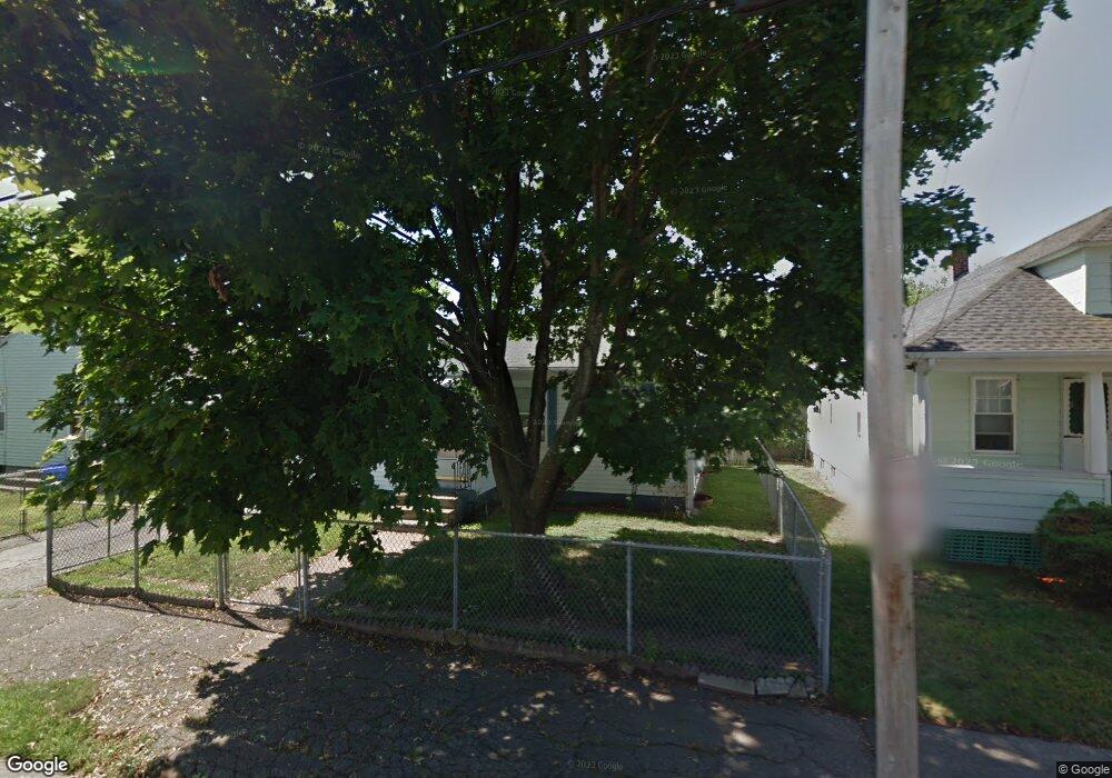
111 Windsor Rd Pawtucket, RI 02861
Darlington NeighborhoodEstimated Value: $361,000 - $454,000
3
Beds
2
Baths
1,900
Sq Ft
$212/Sq Ft
Est. Value
About This Home
This home is located at 111 Windsor Rd, Pawtucket, RI 02861 and is currently estimated at $403,434, approximately $212 per square foot. 111 Windsor Rd is a home located in Providence County with nearby schools including St Cecilia School and Saint Teresa Catholic Elementary School.
Ownership History
Date
Name
Owned For
Owner Type
Purchase Details
Closed on
Apr 21, 2003
Sold by
Silveira Jose V and Silveira Maria D
Bought by
Sartini Brian D and Sartini Deena M
Current Estimated Value
Home Financials for this Owner
Home Financials are based on the most recent Mortgage that was taken out on this home.
Original Mortgage
$190,000
Interest Rate
5.75%
Purchase Details
Closed on
Aug 26, 1994
Sold by
Shalkowski Michael and Shalkowski Violet
Bought by
Silveira Jose V and Silveira Maria
Create a Home Valuation Report for This Property
The Home Valuation Report is an in-depth analysis detailing your home's value as well as a comparison with similar homes in the area
Home Values in the Area
Average Home Value in this Area
Purchase History
| Date | Buyer | Sale Price | Title Company |
|---|---|---|---|
| Sartini Brian D | $205,000 | -- | |
| Silveira Jose V | $89,000 | -- |
Source: Public Records
Mortgage History
| Date | Status | Borrower | Loan Amount |
|---|---|---|---|
| Closed | Silveira Jose V | $157,500 | |
| Closed | Silveira Jose V | $190,000 |
Source: Public Records
Tax History Compared to Growth
Tax History
| Year | Tax Paid | Tax Assessment Tax Assessment Total Assessment is a certain percentage of the fair market value that is determined by local assessors to be the total taxable value of land and additions on the property. | Land | Improvement |
|---|---|---|---|---|
| 2025 | $3,815 | $290,100 | $127,400 | $162,700 |
| 2024 | $3,580 | $290,100 | $127,400 | $162,700 |
| 2023 | $3,861 | $227,900 | $84,900 | $143,000 |
| 2022 | $3,779 | $227,900 | $84,900 | $143,000 |
| 2021 | $3,779 | $227,900 | $84,900 | $143,000 |
| 2020 | $3,992 | $191,100 | $84,300 | $106,800 |
| 2019 | $3,992 | $191,100 | $84,300 | $106,800 |
| 2018 | $3,847 | $191,100 | $84,300 | $106,800 |
| 2017 | $3,519 | $154,900 | $64,400 | $90,500 |
| 2016 | $3,391 | $154,900 | $64,400 | $90,500 |
| 2015 | $3,391 | $154,900 | $64,400 | $90,500 |
| 2014 | $3,637 | $157,700 | $73,100 | $84,600 |
Source: Public Records
Map
Nearby Homes
- 329 Pullen Ave
- 185 Parkside Ave
- 228 London Ave
- 120 Rowe Ave
- 51 Benjamin St
- 119 Gregory Dr
- 358 Orient Ave
- 133 Hanover Ave
- 304 Hughes Ave
- 143 Hatfield St
- 1167 Newport Ave
- 126 Suffolk Ave
- 496 Daggett Ave
- 84 Bellevue Ave
- 66 1st St
- 27 Marlaine Dr
- 95 Federal St
- 140 Robinson Ave
- 888 Central Ave
- 127 Ricard St
- 105 Windsor Rd
- 122 Woodside Ave
- 114 Woodside Ave
- 99 Windsor Rd
- 110 Woodside Ave
- 95 Windsor Rd
- 108 Windsor Rd
- 110 Windsor Rd
- 146 Warwick Rd
- 154 Warwick Rd
- 100 Windsor Rd
- 120 Windsor Rd
- 117 Woodside Ave
- 113 Woodside Ave
- 94 Windsor Rd
- 138 Warwick Rd
- 100 Woodside Ave
- 123 Woodside Ave
- 132 Warwick Rd
- 107 Woodside Ave