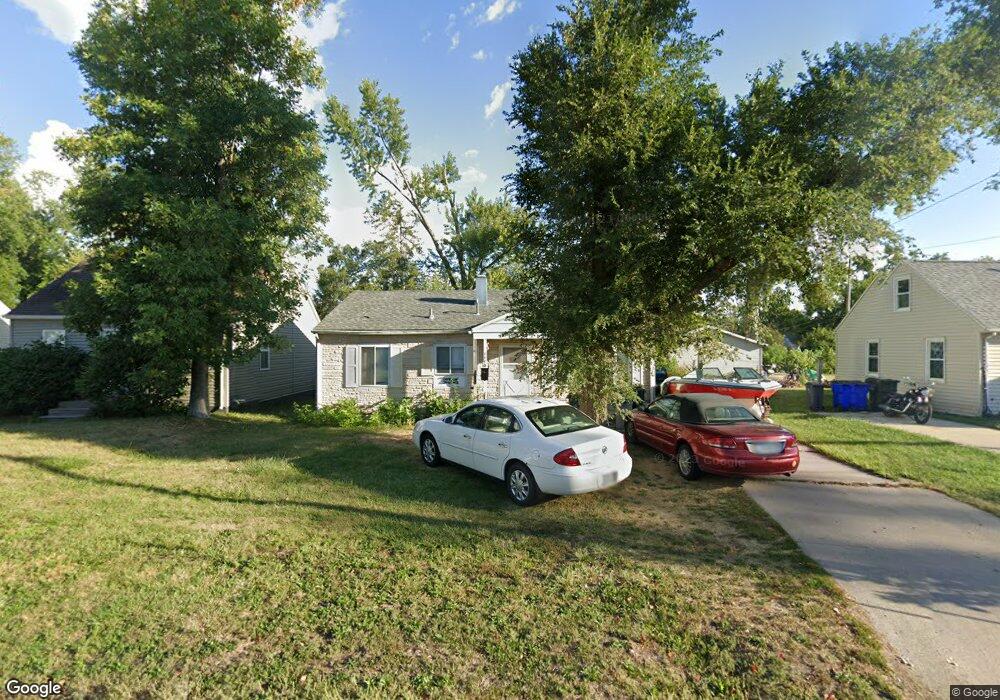
1110 32nd St NE Cedar Rapids, IA 52402
Kenwood Park NeighborhoodEstimated Value: $131,000 - $164,000
3
Beds
1
Bath
858
Sq Ft
$166/Sq Ft
Est. Value
About This Home
This home is located at 1110 32nd St NE, Cedar Rapids, IA 52402 and is currently estimated at $142,020, approximately $165 per square foot. 1110 32nd St NE is a home located in Linn County with nearby schools including Kenwood Leadership Academy, Franklin Middle School, and George Washington High School.
Ownership History
Date
Name
Owned For
Owner Type
Purchase Details
Closed on
Sep 11, 1999
Sold by
Trumblee Dale Robert
Bought by
Ritchie John A and Ritchie Mary K
Current Estimated Value
Home Financials for this Owner
Home Financials are based on the most recent Mortgage that was taken out on this home.
Original Mortgage
$48,800
Outstanding Balance
$14,390
Interest Rate
7.75%
Estimated Equity
$127,630
Create a Home Valuation Report for This Property
The Home Valuation Report is an in-depth analysis detailing your home's value as well as a comparison with similar homes in the area
Home Values in the Area
Average Home Value in this Area
Purchase History
| Date | Buyer | Sale Price | Title Company |
|---|---|---|---|
| Ritchie John A | $60,500 | -- |
Source: Public Records
Mortgage History
| Date | Status | Borrower | Loan Amount |
|---|---|---|---|
| Open | Ritchie John A | $48,800 |
Source: Public Records
Tax History Compared to Growth
Tax History
| Year | Tax Paid | Tax Assessment Tax Assessment Total Assessment is a certain percentage of the fair market value that is determined by local assessors to be the total taxable value of land and additions on the property. | Land | Improvement |
|---|---|---|---|---|
| 2025 | $1,666 | $118,600 | $24,500 | $94,100 |
| 2024 | $1,792 | $114,500 | $24,500 | $90,000 |
| 2023 | $1,792 | $104,600 | $21,700 | $82,900 |
| 2022 | $1,602 | $93,800 | $21,700 | $72,100 |
| 2021 | $1,622 | $86,300 | $20,400 | $65,900 |
| 2020 | $1,622 | $82,100 | $16,300 | $65,800 |
| 2019 | $1,514 | $78,800 | $16,300 | $62,500 |
| 2018 | $1,412 | $78,800 | $16,300 | $62,500 |
| 2017 | $1,464 | $75,700 | $16,300 | $59,400 |
| 2016 | $1,610 | $75,700 | $16,300 | $59,400 |
| 2015 | $1,734 | $81,457 | $19,028 | $62,429 |
| 2014 | $1,734 | $81,457 | $19,028 | $62,429 |
| 2013 | $1,696 | $81,457 | $19,028 | $62,429 |
Source: Public Records
Map
Nearby Homes
- 1126 32nd St NE
- 1230 30th St NE
- 1231 33rd St NE
- 1134 Center St NE
- 1032 34th St NE
- 1051 35th St NE
- 1115 27th St NE
- 1047 27th St NE
- 1114 35th St NE
- 1222 35th St NE
- 2935 Wildwood Ct NE
- 650 Staub Ct NE
- 2906 Oakland Rd NE
- 628 33rd St NE
- 727 37th St NE
- 615 34th St NE
- 3107 E Ave NE
- 3704 Richmond Rd NE
- 3711 Oakland Rd NE
- 3050 Center Point Rd NE
- 1114 32nd St NE
- 1104 32nd St NE
- 1118 32nd St NE
- 1122 32nd St NE
- 1111 33rd St NE
- 1101 33rd St NE
- 1056 32nd St NE
- 1111 32nd St NE
- 1107 32nd St NE
- 1117 32nd St NE
- 1130 32nd St NE
- 1101 32nd St NE
- 1123 32nd St NE
- 1119 33rd St NE
- 1052 32nd St NE
- 1131 33rd St NE
- 1134 32nd St NE
- 1129 32nd St NE
- 1055 33rd St NE
- 1050 32nd St NE