1110 Bloomingdale Rd Queenstown, MD 21658
Estimated Value: $635,000 - $788,000
--
Bed
3
Baths
3,559
Sq Ft
$200/Sq Ft
Est. Value
About This Home
This home is located at 1110 Bloomingdale Rd, Queenstown, MD 21658 and is currently estimated at $711,438, approximately $199 per square foot. 1110 Bloomingdale Rd is a home located in Queen Anne's County with nearby schools including Kennard Elementary School, Centreville Middle School, and Queen Anne's County High School.
Ownership History
Date
Name
Owned For
Owner Type
Purchase Details
Closed on
Aug 8, 2023
Sold by
Surrey Real Estate Development Company L
Bought by
Hall Zachary A
Current Estimated Value
Purchase Details
Closed on
Nov 9, 1989
Sold by
Potter Richard K and Potter Kaye F
Bought by
Potter Richard K and Potter Kaye F
Home Financials for this Owner
Home Financials are based on the most recent Mortgage that was taken out on this home.
Original Mortgage
$135,000
Interest Rate
9.82%
Create a Home Valuation Report for This Property
The Home Valuation Report is an in-depth analysis detailing your home's value as well as a comparison with similar homes in the area
Home Values in the Area
Average Home Value in this Area
Purchase History
| Date | Buyer | Sale Price | Title Company |
|---|---|---|---|
| Hall Zachary A | $7,000 | Evans Title Company | |
| Potter Richard K | $150,000 | -- |
Source: Public Records
Mortgage History
| Date | Status | Borrower | Loan Amount |
|---|---|---|---|
| Previous Owner | Potter Richard K | $135,000 |
Source: Public Records
Tax History Compared to Growth
Tax History
| Year | Tax Paid | Tax Assessment Tax Assessment Total Assessment is a certain percentage of the fair market value that is determined by local assessors to be the total taxable value of land and additions on the property. | Land | Improvement |
|---|---|---|---|---|
| 2025 | $4,445 | $477,067 | $0 | $0 |
| 2024 | $4,223 | $441,900 | $135,000 | $306,900 |
| 2023 | $4,060 | $424,600 | $0 | $0 |
| 2022 | $3,897 | $407,300 | $0 | $0 |
| 2021 | $3,682 | $390,000 | $135,000 | $255,000 |
| 2020 | $3,682 | $377,600 | $0 | $0 |
| 2019 | $3,563 | $365,200 | $0 | $0 |
| 2018 | $3,444 | $352,800 | $110,000 | $242,800 |
| 2017 | $3,439 | $352,333 | $0 | $0 |
| 2016 | -- | $351,867 | $0 | $0 |
| 2015 | $3,230 | $351,400 | $0 | $0 |
| 2014 | $3,230 | $351,400 | $0 | $0 |
Source: Public Records
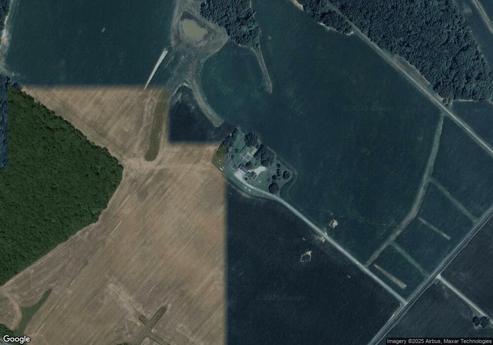
Map
Nearby Homes
- 315 Nottingham Ln
- 103 Trevors Ct
- 111 Mt Mills Ln
- 108 Carriage Ln
- 224 Wye Knot Ct
- 235 Wye Knot Ct
- 0 U S 301
- 6107 Ocean Gateway
- 7204 Main St
- 128 Aker Rd
- 108 Wall St
- 100 Wall St
- 518 Bryce Rd
- 6915 Main St
- 248 Harbor Ln
- 915 Sportsman Neck Rd
- 213 Slippery Hill Ln
- 144 River Run
- 1109 Grasonville Cemetery Rd
- 201 Sawmill Ln
- 5405 Ocean Gateway
- 5400 Ocean Gateway
- 100 Bloomingdale Place
- 1422 Bloomingdale Rd
- 1418 Bloomingdale Rd
- 1406 Bloomingdale Rd
- 5319 Ocean Gateway
- 5311 Ocean Gateway
- 130 Bennetts Outlet Ln
- 4 Carmichael Rd
- 3 Carmichael Rd
- 2 Carmichael Rd
- 5221 Ocean Gateway
- 200 Bennetts Outlet Ln
- 5201 Ocean Gateway
- 441 Greenspring Rd
- 437 Greenspring Rd
- 433 Greenspring Rd
- 429 Greenspring Rd
- 132 Bowen Ln