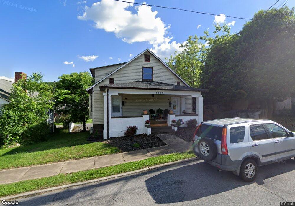
1110 Broad St Bristol, TN 37620
Estimated Value: $147,000 - $204,000
--
Bed
--
Bath
1,923
Sq Ft
$88/Sq Ft
Est. Value
About This Home
This home is located at 1110 Broad St, Bristol, TN 37620 and is currently estimated at $168,936, approximately $87 per square foot. 1110 Broad St is a home with nearby schools including Anderson Elementary School, Vance Middle School, and Tennessee High School.
Ownership History
Date
Name
Owned For
Owner Type
Purchase Details
Closed on
Apr 16, 2021
Sold by
Lutzo Raymond J
Bought by
Shumate Samuel A and Shumate Amy N
Current Estimated Value
Purchase Details
Closed on
Mar 30, 2009
Sold by
Kitchens Harold
Bought by
Lutzo Raymond J
Home Financials for this Owner
Home Financials are based on the most recent Mortgage that was taken out on this home.
Original Mortgage
$70,000
Interest Rate
5.14%
Purchase Details
Closed on
Mar 9, 1990
Create a Home Valuation Report for This Property
The Home Valuation Report is an in-depth analysis detailing your home's value as well as a comparison with similar homes in the area
Home Values in the Area
Average Home Value in this Area
Purchase History
| Date | Buyer | Sale Price | Title Company |
|---|---|---|---|
| Shumate Samuel A | $49,000 | None Available | |
| Lutzo Raymond J | $70,000 | -- | |
| -- | $5,000 | -- |
Source: Public Records
Mortgage History
| Date | Status | Borrower | Loan Amount |
|---|---|---|---|
| Previous Owner | -- | $70,000 |
Source: Public Records
Tax History Compared to Growth
Tax History
| Year | Tax Paid | Tax Assessment Tax Assessment Total Assessment is a certain percentage of the fair market value that is determined by local assessors to be the total taxable value of land and additions on the property. | Land | Improvement |
|---|---|---|---|---|
| 2024 | -- | $33,640 | $3,280 | $30,360 |
| 2023 | $1,477 | $33,640 | $3,280 | $30,360 |
| 2022 | $1,477 | $33,640 | $3,280 | $30,360 |
| 2021 | $1,456 | $33,640 | $3,280 | $30,360 |
| 2020 | $1,372 | $33,160 | $3,280 | $29,880 |
| 2019 | $1,372 | $29,000 | $3,280 | $25,720 |
| 2018 | $1,367 | $29,000 | $3,280 | $25,720 |
| 2017 | $1,367 | $29,000 | $3,280 | $25,720 |
| 2016 | $1,382 | $28,640 | $3,280 | $25,360 |
| 2014 | $1,305 | $28,642 | $0 | $0 |
Source: Public Records
Map
Nearby Homes
- 311 12th St
- 948 Anderson St
- 1224 Shelby St
- 1020 Hill St
- 1227 Shelby St
- 943 Shelby St
- Tbd Clifton Rd
- 1216 Norway St
- 602 9th St
- 1614 Broad St
- 1108 Glen St
- 420 Douglas St
- 60 Peters St
- 461 Douglas St
- 801 Holston Ave
- 1724 & 1728 Euclid Ave
- 200 Solar St
- 577 English St
- 577 English St Unit B3
- 509 State St Unit 3
- 1116 Broad St
- 1116 Broad St Unit 1
- 1108 Broad St
- 1120 Broad St
- 1107 Anderson St
- 1111 Anderson St
- 1115 Anderson St
- 1121 Anderson St
- 1100 Broad St
- 1111 Broad St
- 1124 Broad St
- 1107 Broad St
- 1105 Broad St
- 1101 Anderson St
- 1121 Broad St
- 1103 Broad St
- 1133 Anderson St
- 1101 Broad St
- 1125 Broad St
- 1130 Broad St