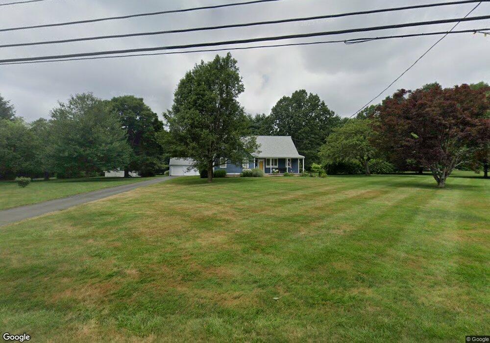
1110 Durham Rd Wallingford, CT 06492
Estimated Value: $497,000 - $693,000
3
Beds
3
Baths
2,514
Sq Ft
$243/Sq Ft
Est. Value
About This Home
This home is located at 1110 Durham Rd, Wallingford, CT 06492 and is currently estimated at $611,930, approximately $243 per square foot. 1110 Durham Rd is a home located in New Haven County with nearby schools including Moses Y Beach Elementary School, Rock Hill Elementary School, and Dag Hammarskjold Middle School.
Ownership History
Date
Name
Owned For
Owner Type
Purchase Details
Closed on
Sep 25, 2012
Sold by
Es Kesilewski Sophie D and Kesilewski Gary J
Bought by
Kesilewski Gary J and Kesilewski Karen
Current Estimated Value
Home Financials for this Owner
Home Financials are based on the most recent Mortgage that was taken out on this home.
Original Mortgage
$77,000
Interest Rate
3.7%
Create a Home Valuation Report for This Property
The Home Valuation Report is an in-depth analysis detailing your home's value as well as a comparison with similar homes in the area
Home Values in the Area
Average Home Value in this Area
Purchase History
| Date | Buyer | Sale Price | Title Company |
|---|---|---|---|
| Kesilewski Gary J | -- | -- |
Source: Public Records
Mortgage History
| Date | Status | Borrower | Loan Amount |
|---|---|---|---|
| Previous Owner | Kesilewski Gary J | $77,000 | |
| Previous Owner | Kesilewski Gary J | $40,400 | |
| Previous Owner | Kesilewski Gary J | $195,900 |
Source: Public Records
Tax History Compared to Growth
Tax History
| Year | Tax Paid | Tax Assessment Tax Assessment Total Assessment is a certain percentage of the fair market value that is determined by local assessors to be the total taxable value of land and additions on the property. | Land | Improvement |
|---|---|---|---|---|
| 2025 | $9,014 | $373,700 | $128,300 | $245,400 |
| 2024 | $8,076 | $263,400 | $106,900 | $156,500 |
| 2023 | $7,728 | $263,400 | $106,900 | $156,500 |
| 2022 | $7,649 | $263,400 | $106,900 | $156,500 |
| 2021 | $7,512 | $263,400 | $106,900 | $156,500 |
| 2020 | $6,985 | $239,300 | $102,800 | $136,500 |
| 2019 | $6,985 | $239,300 | $102,800 | $136,500 |
| 2018 | $5,476 | $239,300 | $102,800 | $136,500 |
| 2017 | $6,832 | $239,300 | $102,800 | $136,500 |
| 2016 | $6,674 | $239,300 | $102,800 | $136,500 |
| 2015 | $6,650 | $242,100 | $102,800 | $139,300 |
| 2014 | $6,510 | $242,100 | $102,800 | $139,300 |
Source: Public Records
Map
Nearby Homes