1110 Laberdee Rd Adrian, MI 49221
Estimated Value: $229,000 - $267,339
3
Beds
1
Bath
1,316
Sq Ft
$190/Sq Ft
Est. Value
About This Home
This home is located at 1110 Laberdee Rd, Adrian, MI 49221 and is currently estimated at $250,085, approximately $190 per square foot. 1110 Laberdee Rd is a home located in Lenawee County with nearby schools including Adrian High School, St. Joseph Academy, and St. Joseph's Academy.
Ownership History
Date
Name
Owned For
Owner Type
Purchase Details
Closed on
Aug 23, 2019
Sold by
Mcintyre Robert C Est
Bought by
Hardcastle Bruce F and Hardcastle Sheri L
Current Estimated Value
Home Financials for this Owner
Home Financials are based on the most recent Mortgage that was taken out on this home.
Original Mortgage
$135,000
Outstanding Balance
$118,235
Interest Rate
3.7%
Mortgage Type
New Conventional
Estimated Equity
$131,850
Purchase Details
Closed on
Jun 12, 1995
Bought by
Mcintyre Robert C
Create a Home Valuation Report for This Property
The Home Valuation Report is an in-depth analysis detailing your home's value as well as a comparison with similar homes in the area
Home Values in the Area
Average Home Value in this Area
Purchase History
| Date | Buyer | Sale Price | Title Company |
|---|---|---|---|
| Hardcastle Bruce F | $160,000 | Prestige Title | |
| Mcintyre Robert C | -- | -- |
Source: Public Records
Mortgage History
| Date | Status | Borrower | Loan Amount |
|---|---|---|---|
| Open | Hardcastle Bruce F | $135,000 |
Source: Public Records
Tax History
| Year | Tax Paid | Tax Assessment Tax Assessment Total Assessment is a certain percentage of the fair market value that is determined by local assessors to be the total taxable value of land and additions on the property. | Land | Improvement |
|---|---|---|---|---|
| 2025 | $2,949 | $124,400 | $0 | $0 |
| 2024 | $18 | $122,400 | $0 | $0 |
| 2023 | $2,739 | $109,100 | $0 | $0 |
| 2022 | $2,719 | $100,300 | $0 | $0 |
| 2021 | $2,689 | $93,700 | $0 | $0 |
| 2020 | $2,688 | $87,800 | $0 | $0 |
| 2019 | $202,304 | $83,300 | $0 | $0 |
| 2018 | $2,297 | $83,282 | $0 | $0 |
| 2017 | $2,217 | $80,049 | $0 | $0 |
| 2016 | $2,126 | $71,712 | $0 | $0 |
| 2014 | -- | $66,844 | $0 | $0 |
Source: Public Records
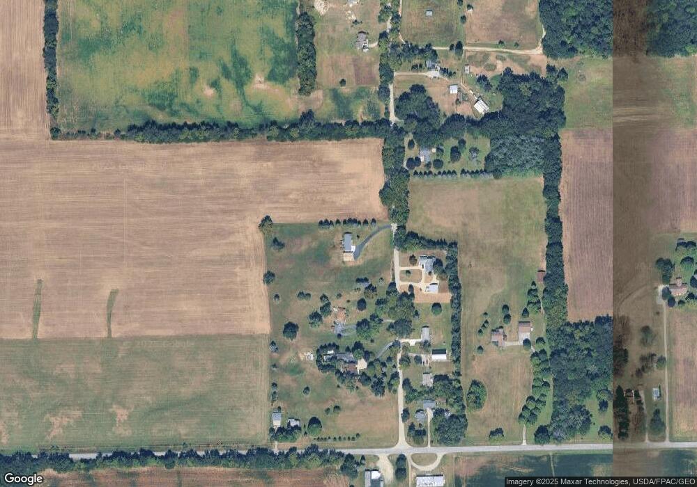
Map
Nearby Homes
- 3163 Birch Run
- 2751 Cloverdale Ave
- 3311 N Adrian Hwy
- 4587 N Adrian Hwy
- 3264 N Adrian Hwy
- 820 Mulberry St
- 2298 N Wilmoth Hwy
- 822 Elm St
- 1084 Loren Rd
- 717 Bristol St
- 2519 N Wilmoth Hwy
- 1826 Oak Leaf Dr
- 803 Ormsby St
- 310 E Siena Heights Dr
- 417 E Hunt St
- 423 E Butler St
- 612 N Clinton St
- 924 Frank St
- 2550 Bent Oak Ave
- 2571 E Valley Rd
- 1121 Laberdee Rd
- 1135 Laberdee Rd
- 1099 Laberdee Rd
- 1078 Laberdee Rd
- 1063 Laberdee Rd
- 1050 Laberdee Rd
- 0 Oakwood Unit 4013373
- 1247 Laberdee Rd
- 1604 Oakwood Ave
- 1654 Oakwood Ave
- 1490 Oakwood Ave
- 1298 Laberdee Rd
- 1734 Oakwood Ave
- 1352 Laberdee Rd
- 1746 Oakwood Ave
- 1756 Oakwood Ave
- 1765 Oakwood Ave
- 1680 Mitchell Ct
- 1616 Mitchell Ct
- 1594 Mitchell Ct
Your Personal Tour Guide
Ask me questions while you tour the home.