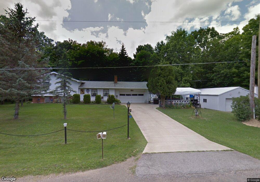
1110 Marianna Cir Mansfield, OH 44903
Estimated Value: $254,000 - $315,000
3
Beds
2
Baths
1,796
Sq Ft
$151/Sq Ft
Est. Value
About This Home
This home is located at 1110 Marianna Cir, Mansfield, OH 44903 and is currently estimated at $270,733, approximately $150 per square foot. 1110 Marianna Cir is a home located in Richland County.
Ownership History
Date
Name
Owned For
Owner Type
Purchase Details
Closed on
Apr 1, 2024
Sold by
Copeland Neil E and Copeland Susan M
Bought by
Copeland Susan M
Current Estimated Value
Purchase Details
Closed on
Nov 17, 2017
Sold by
Davis Gordon J
Bought by
Copeland Neil E and Copeland Susan M
Home Financials for this Owner
Home Financials are based on the most recent Mortgage that was taken out on this home.
Original Mortgage
$123,232
Interest Rate
3.85%
Mortgage Type
New Conventional
Purchase Details
Closed on
Feb 23, 2005
Sold by
Davis Jacqueline S
Bought by
Davis Gordon J
Create a Home Valuation Report for This Property
The Home Valuation Report is an in-depth analysis detailing your home's value as well as a comparison with similar homes in the area
Home Values in the Area
Average Home Value in this Area
Purchase History
| Date | Buyer | Sale Price | Title Company |
|---|---|---|---|
| Copeland Susan M | -- | None Listed On Document | |
| Copeland Susan M | -- | None Listed On Document | |
| Copeland Neil E | $122,000 | Chicago Title | |
| Davis Gordon J | -- | -- |
Source: Public Records
Mortgage History
| Date | Status | Borrower | Loan Amount |
|---|---|---|---|
| Open | Copeland Neil E | $4,530 | |
| Previous Owner | Copeland Neil E | $142,450 | |
| Previous Owner | Copeland Neil E | $123,232 |
Source: Public Records
Tax History Compared to Growth
Tax History
| Year | Tax Paid | Tax Assessment Tax Assessment Total Assessment is a certain percentage of the fair market value that is determined by local assessors to be the total taxable value of land and additions on the property. | Land | Improvement |
|---|---|---|---|---|
| 2024 | $2,716 | $55,960 | $10,830 | $45,130 |
| 2023 | $2,716 | $48,540 | $5,370 | $43,170 |
| 2022 | $2,052 | $37,600 | $4,800 | $32,800 |
| 2021 | $2,052 | $37,600 | $4,800 | $32,800 |
| 2020 | $2,068 | $37,600 | $4,800 | $32,800 |
| 2019 | $1,971 | $31,860 | $4,060 | $27,800 |
| 2018 | $1,842 | $31,860 | $4,060 | $27,800 |
| 2017 | $949 | $31,860 | $4,060 | $27,800 |
| 2016 | $1,867 | $31,860 | $3,860 | $28,000 |
| 2015 | $1,867 | $31,860 | $3,860 | $28,000 |
| 2014 | $1,774 | $31,860 | $3,860 | $28,000 |
| 2012 | $881 | $33,540 | $4,060 | $29,480 |
Source: Public Records
Map
Nearby Homes
- 929 Antionette Dr
- 0 State Route 39 & I-71 Southeast Quadrant
- 0 State Route 39 & I-71 Northeast Quadrant
- 1875 Mansfield Lucas Rd
- 1679 Pulver Rd
- 2061 Washington North Rd
- 0 Woodville Rd Unit Lot 14952, 14953
- 0 Woodville Rd Unit Lot 14954, 14955
- 0 Woodville Rd Unit Lot 14956, 14957,
- 794 Mansfield Washington Rd
- 716 Mansfield Washington Rd
- 36 Ridge Rd S
- 0 Mcelroy Rd
- 76 Ford Rd N
- 1135 E Hanley Rd
- 369 Davidson St
- 419 Pearl Ave
- 405 Plainview Ave
- 155 Ford Rd N Unit Lot 30
- 155 Ford Rd N