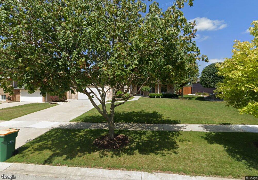
1110 Michael St Lockport, IL 60441
Estimated Value: $395,715 - $490,000
Studio
--
Bath
--
Sq Ft
9,148
Sq Ft
About This Home
This home is located at 1110 Michael St, Lockport, IL 60441 and is currently estimated at $436,179. 1110 Michael St is a home located in Will County with nearby schools including Milne Grove Elementary School, Kelvin Grove Jr High School, and Lockport Township High School East.
Ownership History
Date
Name
Owned For
Owner Type
Purchase Details
Closed on
Aug 28, 2006
Sold by
Caneva Daryl S and Lopez Ana M
Bought by
Rodriguez John M
Current Estimated Value
Home Financials for this Owner
Home Financials are based on the most recent Mortgage that was taken out on this home.
Original Mortgage
$212,000
Outstanding Balance
$128,006
Interest Rate
6.77%
Mortgage Type
Purchase Money Mortgage
Estimated Equity
$308,173
Purchase Details
Closed on
Nov 17, 2003
Sold by
Kolmodin Lois L and Estate Of Hazel Cheadle
Bought by
Caneva Daryl S and Lopez Ann M
Home Financials for this Owner
Home Financials are based on the most recent Mortgage that was taken out on this home.
Original Mortgage
$276,000
Interest Rate
6.1%
Mortgage Type
Purchase Money Mortgage
Create a Home Valuation Report for This Property
The Home Valuation Report is an in-depth analysis detailing your home's value as well as a comparison with similar homes in the area
Home Values in the Area
Average Home Value in this Area
Purchase History
| Date | Buyer | Sale Price | Title Company |
|---|---|---|---|
| Rodriguez John M | $265,000 | Multiple | |
| Caneva Daryl S | $345,000 | Ticor |
Source: Public Records
Mortgage History
| Date | Status | Borrower | Loan Amount |
|---|---|---|---|
| Open | Rodriguez John M | $212,000 | |
| Previous Owner | Caneva Daryl S | $276,000 |
Source: Public Records
Tax History
| Year | Tax Paid | Tax Assessment Tax Assessment Total Assessment is a certain percentage of the fair market value that is determined by local assessors to be the total taxable value of land and additions on the property. | Land | Improvement |
|---|---|---|---|---|
| 2024 | $11,135 | $137,693 | $31,524 | $106,169 |
| 2023 | $11,135 | $123,614 | $28,301 | $95,313 |
| 2022 | $10,168 | $116,450 | $26,661 | $89,789 |
| 2021 | $9,641 | $109,435 | $25,055 | $84,380 |
| 2020 | $9,398 | $105,836 | $24,231 | $81,605 |
| 2019 | $8,932 | $100,319 | $22,968 | $77,351 |
| 2018 | $8,776 | $96,461 | $22,085 | $74,376 |
| 2017 | $8,453 | $91,061 | $20,849 | $70,212 |
| 2016 | $8,088 | $85,343 | $19,540 | $65,803 |
| 2015 | $7,751 | $80,626 | $18,050 | $62,576 |
| 2014 | $7,751 | $76,786 | $17,190 | $59,596 |
| 2013 | $7,751 | $78,353 | $17,541 | $60,812 |
Source: Public Records
Map
Nearby Homes
- 1041 Ashley Ct S Unit 2D
- 1330 Lacoma Ct
- 1222 Will Dr
- 310 Mccameron Ave
- 936 Treeline Ct Unit 5B
- 417 Thornton St
- 1015 Grandview Ave
- 1509 Peachtree Ln
- 9.5 Acres S Archer Ave
- 514 N Lockwood Dr
- 519 S Washington St
- 118 N State St
- 16901 Ennerdale Ave
- 120 N State St
- 501 S Hamilton St
- 805 Maryknoll Dr
- 107 S State St
- 1513 Connor Ave
- 17004 Geneva Ave
- 1112 S Jefferson St
- 1114 Michael St
- 1106 Michael St
- 1109 Jennifer Ct
- 1105 Jennifer Ct
- 1102 Michael St
- 415 Tonelli Trail
- 1109 Michael St
- 419 Tonelli Trail
- 1113 Michael St
- 1105 Michael St
- 1101 Jennifer Ct
- 411 Tonelli Trail
- 1117 Michael St
- 1111 Jennifer Ct
- 1101 Michael St Unit 1
- 1121 Michael St
- 407 Tonelli Trail
- 500 Amy Ct
- 506 Read St Unit 1
- 1110 Jennifer Ct
Your Personal Tour Guide
Ask me questions while you tour the home.