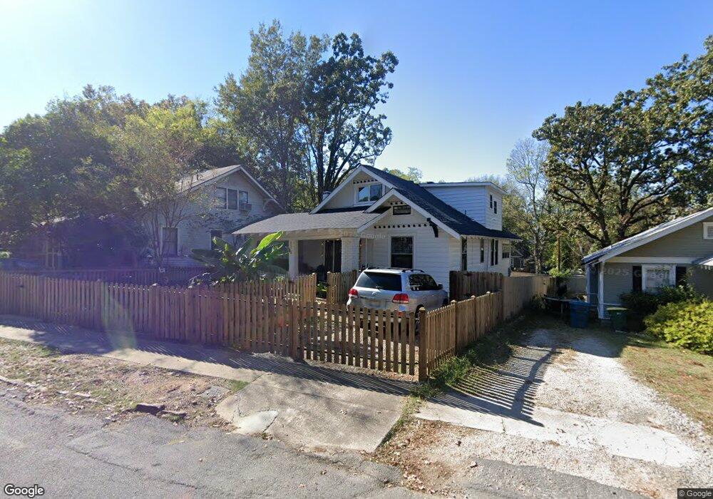
1110 N Monroe St Little Rock, AR 72205
Hillcrest NeighborhoodEstimated Value: $281,000 - $352,000
--
Bed
1
Bath
1,616
Sq Ft
$198/Sq Ft
Est. Value
About This Home
This home is located at 1110 N Monroe St, Little Rock, AR 72205 and is currently estimated at $320,494, approximately $198 per square foot. 1110 N Monroe St is a home located in Pulaski County with nearby schools including Pulaski Heights Elementary School, Pulaski Heights Middle School, and Central High School.
Ownership History
Date
Name
Owned For
Owner Type
Purchase Details
Closed on
Mar 14, 2012
Sold by
Fields Arlin R and Fields Julia M
Bought by
Fields Teri and Internati Maurizio Chiriva
Current Estimated Value
Home Financials for this Owner
Home Financials are based on the most recent Mortgage that was taken out on this home.
Original Mortgage
$108,000
Outstanding Balance
$74,294
Interest Rate
3.9%
Mortgage Type
New Conventional
Estimated Equity
$246,200
Create a Home Valuation Report for This Property
The Home Valuation Report is an in-depth analysis detailing your home's value as well as a comparison with similar homes in the area
Home Values in the Area
Average Home Value in this Area
Purchase History
| Date | Buyer | Sale Price | Title Company |
|---|---|---|---|
| Fields Teri | $120,000 | First National Title Company |
Source: Public Records
Mortgage History
| Date | Status | Borrower | Loan Amount |
|---|---|---|---|
| Open | Fields Teri | $108,000 |
Source: Public Records
Tax History Compared to Growth
Tax History
| Year | Tax Paid | Tax Assessment Tax Assessment Total Assessment is a certain percentage of the fair market value that is determined by local assessors to be the total taxable value of land and additions on the property. | Land | Improvement |
|---|---|---|---|---|
| 2025 | $3,826 | $54,650 | $30,000 | $24,650 |
| 2024 | $3,489 | $54,650 | $30,000 | $24,650 |
| 2023 | $3,489 | $49,845 | $30,000 | $19,845 |
| 2022 | $3,224 | $49,845 | $30,000 | $19,845 |
| 2021 | $2,952 | $41,870 | $24,500 | $17,370 |
| 2020 | $2,931 | $41,870 | $24,500 | $17,370 |
| 2019 | $2,931 | $41,870 | $24,500 | $17,370 |
| 2018 | $2,931 | $41,870 | $24,500 | $17,370 |
| 2017 | $2,724 | $41,870 | $24,500 | $17,370 |
| 2016 | $2,477 | $35,380 | $15,000 | $20,380 |
| 2015 | $2,480 | $35,380 | $15,000 | $20,380 |
| 2014 | $2,480 | $35,380 | $15,000 | $20,380 |
Source: Public Records
Map
Nearby Homes
- 4907 N Lookout St
- 416 N Spruce St
- 1109 N Spruce St
- 1100 N Palm St
- 5015 E Crestwood Dr
- 1109 N Tyler St
- 5120 F St
- 5223 G St
- 5116 Edgewood Rd
- 5024 Crestwood Dr
- 1118 N Polk St
- 1200 N Polk St
- 5124 Woodlawn Dr
- 904 N Polk St
- 314 N Walnut St
- 5111 Woodlawn Dr
- 4817 Kavanaugh Blvd
- 5604 I St
- 5101 Lee Ave
- 4523 Woodlawn Dr
- 1118 N Monroe St
- 1108 N Monroe St
- 1120 N Monroe St
- 4916 Hillcrest Ave
- 4820 Kenyon Dr
- 1100 N Monroe St
- 1111 N Jackson St
- 4920 Hillcrest Ave
- 4818 Kenyon Dr
- 1113 N Jackson St
- 1123 N Monroe St
- 4901 N Lookout St
- 4905 N Lookout St
- 4924 Hillcrest Ave
- 1115 N Jackson St
- I-530 and 145th St
- 1105 N Monroe St
- 4816 Kenyon Dr
- 0 Kenyon St
- 1024 N Monroe St