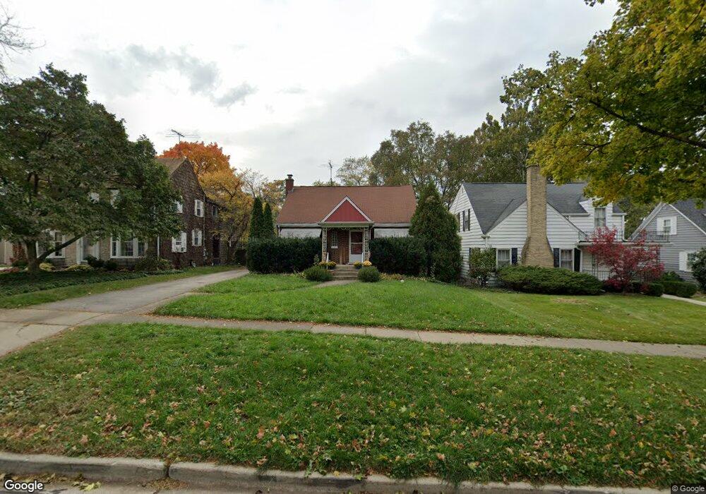
1110 N Scott St Wheaton, IL 60187
Hawthorne NeighborhoodEstimated Value: $408,529 - $542,000
Studio
--
Bath
1,074
Sq Ft
$431/Sq Ft
Est. Value
About This Home
This home is located at 1110 N Scott St, Wheaton, IL 60187 and is currently estimated at $462,882, approximately $430 per square foot. 1110 N Scott St is a home located in DuPage County with nearby schools including Hawthorne Elementary School, Franklin Middle School, and Wheaton North High School.
Ownership History
Date
Name
Owned For
Owner Type
Purchase Details
Closed on
Apr 30, 2001
Sold by
Keough Genevieve F and Genevieve F Keough Trust
Bought by
Fulton Edward M and Fulton Jennifer L
Current Estimated Value
Home Financials for this Owner
Home Financials are based on the most recent Mortgage that was taken out on this home.
Original Mortgage
$216,000
Outstanding Balance
$80,176
Interest Rate
6.95%
Estimated Equity
$382,706
Purchase Details
Closed on
Aug 16, 1998
Sold by
Keough Genevieve A and Keough Genevieve F
Bought by
Keough Genevieve F and Genevieve F Keough Trust
Create a Home Valuation Report for This Property
The Home Valuation Report is an in-depth analysis detailing your home's value as well as a comparison with similar homes in the area
Home Values in the Area
Average Home Value in this Area
Purchase History
| Date | Buyer | Sale Price | Title Company |
|---|---|---|---|
| Fulton Edward M | $240,000 | -- | |
| Keough Genevieve F | -- | -- |
Source: Public Records
Mortgage History
| Date | Status | Borrower | Loan Amount |
|---|---|---|---|
| Open | Fulton Edward M | $216,000 |
Source: Public Records
Tax History
| Year | Tax Paid | Tax Assessment Tax Assessment Total Assessment is a certain percentage of the fair market value that is determined by local assessors to be the total taxable value of land and additions on the property. | Land | Improvement |
|---|---|---|---|---|
| 2024 | $7,689 | $127,293 | $47,975 | $79,318 |
| 2023 | $7,378 | $117,170 | $44,160 | $73,010 |
| 2022 | $7,254 | $110,740 | $41,740 | $69,000 |
| 2021 | $7,227 | $108,110 | $40,750 | $67,360 |
| 2020 | $7,203 | $107,100 | $40,370 | $66,730 |
| 2019 | $7,035 | $104,270 | $39,300 | $64,970 |
| 2018 | $6,892 | $101,150 | $37,020 | $64,130 |
| 2017 | $6,784 | $97,410 | $35,650 | $61,760 |
| 2016 | $6,689 | $93,520 | $34,230 | $59,290 |
| 2015 | $6,633 | $89,220 | $32,660 | $56,560 |
| 2014 | $5,768 | $77,140 | $20,530 | $56,610 |
| 2013 | $5,620 | $77,370 | $20,590 | $56,780 |
Source: Public Records
Map
Nearby Homes
- 1115 N Main St
- 114 W Prairie Ave
- 425 Wakeman Ave
- 340 Parkway Dr
- 607 E Prairie Ave
- 312 E Lincoln Ave
- 820 Cherry St
- 817 E Forest Ave
- 1902 N Washington St
- 0N105 Lot 1 Nepil Ave
- 0N105 Lot 2 Nepil Ave
- 722 Countryside Dr
- 808 Bridle Ln
- 353 E Liberty Dr
- 1607 Stoddard Ave
- 570 Amy Ln
- 405 W Front St Unit 3207
- 455 W Front St Unit 2208
- 100 N Gary Ave Unit 208
- 0 Ellis Ave
Your Personal Tour Guide
Ask me questions while you tour the home.