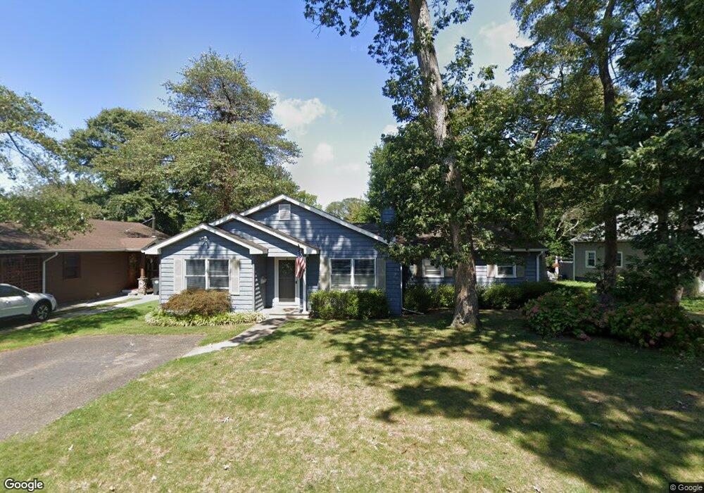
1110 Pine Rd Manasquan, NJ 08736
Estimated Value: $827,000 - $922,000
3
Beds
2
Baths
1,740
Sq Ft
$494/Sq Ft
Est. Value
About This Home
This home is located at 1110 Pine Rd, Manasquan, NJ 08736 and is currently estimated at $859,184, approximately $493 per square foot. 1110 Pine Rd is a home located in Monmouth County with nearby schools including Wall High School and The Brookside School.
Ownership History
Date
Name
Owned For
Owner Type
Purchase Details
Closed on
Jun 20, 1995
Sold by
Kelly Edward
Bought by
Paolercio Roseann and Paolercio Michael
Current Estimated Value
Home Financials for this Owner
Home Financials are based on the most recent Mortgage that was taken out on this home.
Original Mortgage
$138,000
Interest Rate
7.7%
Mortgage Type
Purchase Money Mortgage
Create a Home Valuation Report for This Property
The Home Valuation Report is an in-depth analysis detailing your home's value as well as a comparison with similar homes in the area
Home Values in the Area
Average Home Value in this Area
Purchase History
| Date | Buyer | Sale Price | Title Company |
|---|---|---|---|
| Paolercio Roseann | $172,500 | -- |
Source: Public Records
Mortgage History
| Date | Status | Borrower | Loan Amount |
|---|---|---|---|
| Closed | Paolercio Roseann | $138,000 |
Source: Public Records
Tax History
| Year | Tax Paid | Tax Assessment Tax Assessment Total Assessment is a certain percentage of the fair market value that is determined by local assessors to be the total taxable value of land and additions on the property. | Land | Improvement |
|---|---|---|---|---|
| 2025 | $8,427 | $399,400 | $243,500 | $155,900 |
| 2024 | $8,176 | $399,400 | $243,500 | $155,900 |
| 2023 | $8,176 | $399,400 | $243,500 | $155,900 |
| 2022 | $7,976 | $399,400 | $243,500 | $155,900 |
| 2021 | $7,976 | $399,400 | $243,500 | $155,900 |
| 2020 | $7,880 | $399,400 | $243,500 | $155,900 |
| 2019 | $7,784 | $399,400 | $243,500 | $155,900 |
| 2018 | $7,716 | $399,400 | $243,500 | $155,900 |
| 2017 | $7,565 | $399,400 | $243,500 | $155,900 |
| 2016 | $7,405 | $399,400 | $243,500 | $155,900 |
| 2015 | $7,803 | $264,500 | $127,400 | $137,100 |
| 2014 | $7,516 | $260,600 | $123,500 | $137,100 |
Source: Public Records
Map
Nearby Homes
- 139 Lenape Trail
- 14 Lebanon Dr
- 308 South St
- 38 Gertrude Place
- 1215 Church St
- 610 Agnes Ave
- 51-53 Main St
- 130 Union Ave
- 1422 Lakewood Rd
- 11 Pearce Ave
- 432 Oval Rd
- 2253 Wagner Ln
- Kensington Plan at The Monmouth - The Villas 55+
- 65 Pearce Ave
- 1041 Oval Rd Unit 5
- 642 Rankin Rd
- 323-325 Fisk Ave
- 816 Rathjen Rd
- 18 Mountain Laurel Ln Unit A
- 329 Fisk Ave
- 1112 Pine Rd
- 804 Pine Rd
- 1109 Minnehaha Trail
- 1114 Pine Rd
- 1113 Minnehaha Trail
- 807 Pine Rd
- 802 Pine Rd
- 1117 Minnehaha Trail
- 805 Pine Rd
- 803 Pine Rd
- 3 Lenape Trail
- 1131 Pine Rd
- 1125 Pine Rd
- 800 Pine Rd
- 1135 Tecumseh Place
- 804 Oak Rd
- 1106 Minnehaha Trail
- 1118 Pine Rd
- 1112 Minnehaha Trail
- 1119 Minnehaha Trail