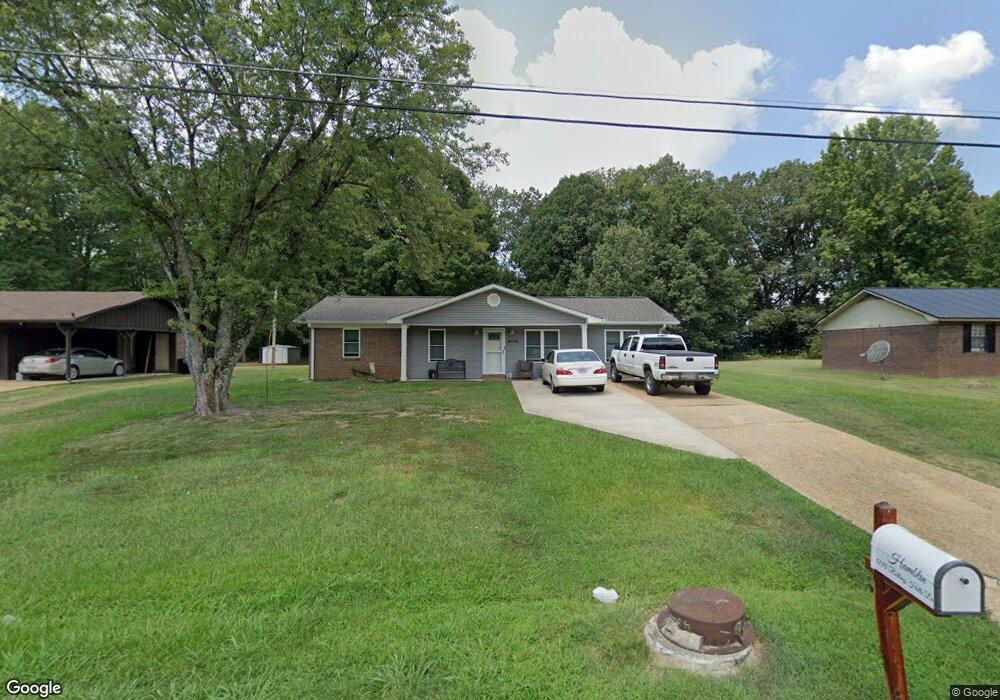
1110 Rolling Hills Dr New Albany, MI 38652
Estimated Value: $136,000 - $225,000
3
Beds
2
Baths
1,458
Sq Ft
$110/Sq Ft
Est. Value
About This Home
This home is located at 1110 Rolling Hills Dr, New Albany, MI 38652 and is currently estimated at $160,194, approximately $109 per square foot. 1110 Rolling Hills Dr is a home located in Union County with nearby schools including New Albany Elementary School, New Albany/S.Tippah/Union County Alternative School, and New Albany Middle School.
Ownership History
Date
Name
Owned For
Owner Type
Purchase Details
Closed on
Dec 15, 2017
Sold by
Dykes Evelyn E and Rogers Boderick
Bought by
Hamblin Thomas Carey and Hamblin Shauna D
Current Estimated Value
Home Financials for this Owner
Home Financials are based on the most recent Mortgage that was taken out on this home.
Original Mortgage
$103,098
Outstanding Balance
$86,822
Interest Rate
3.95%
Mortgage Type
Unknown
Estimated Equity
$73,372
Purchase Details
Closed on
Jan 31, 2012
Sold by
T2 Enterprises Llc
Bought by
Dykes Evelyn E
Create a Home Valuation Report for This Property
The Home Valuation Report is an in-depth analysis detailing your home's value as well as a comparison with similar homes in the area
Home Values in the Area
Average Home Value in this Area
Purchase History
| Date | Buyer | Sale Price | Title Company |
|---|---|---|---|
| Hamblin Thomas Carey | -- | None Available | |
| Dykes Evelyn E | -- | -- |
Source: Public Records
Mortgage History
| Date | Status | Borrower | Loan Amount |
|---|---|---|---|
| Open | Hamblin Thomas Carey | $103,098 |
Source: Public Records
Tax History Compared to Growth
Tax History
| Year | Tax Paid | Tax Assessment Tax Assessment Total Assessment is a certain percentage of the fair market value that is determined by local assessors to be the total taxable value of land and additions on the property. | Land | Improvement |
|---|---|---|---|---|
| 2024 | $738 | $7,167 | $0 | $0 |
| 2023 | $741 | $7,167 | $0 | $0 |
| 2022 | $619 | $5,962 | $0 | $0 |
| 2021 | $601 | $6,000 | $0 | $0 |
| 2020 | $601 | $6,000 | $0 | $0 |
| 2019 | $600 | $6,000 | $0 | $0 |
| 2018 | $415 | $4,160 | $0 | $0 |
| 2017 | $850 | $6,240 | $0 | $0 |
| 2016 | $822 | $6,240 | $0 | $0 |
| 2015 | -- | $6,240 | $0 | $0 |
| 2014 | -- | $5,966 | $0 | $0 |
Source: Public Records
Map
Nearby Homes
- Lot 48 Rolling Hills Dr
- Lot 49 Rolling Hills Dr
- 931 Reed St
- 0 Lot 6 Sam T Barkley Dr
- 0 Lot 5 Sam T Barkley Dr
- 0 Lot 4 Sam T Barkley Dr
- 0 Lot 8 Sam T Barkley Dr
- 0 Lot 3 Sam T Barkley Dr
- 0 Lot 2 Sam Tbarkley Dr Unit 23-1317
- 1315 Moss Hill Dr
- 816 W Bankhead St
- 1329 Moss Hill Dr
- 1509 Allison Cir
- 0 Coulter Dr Denton Rd Unit 24-3689
- 621 Glendale Rd
- 301 Starlyn Ave
- 0 Coulter Cove + - 52 Ac
- 403 Bristol Ave
- 559 County Road 75
- 102 Robbins Dr
- 1110 Rolling Hills Dr
- 1108 Rolling Hills Dr
- 1112 Rolling Hills Dr
- 1112 Rolling Hills Dr
- 1113 Rolling Hills Dr
- 1111 Rolling Hills Dr
- 1111 Rolling Hills Dr
- 1109 Rolling Hills Dr
- 1113 Rolling Hills Dr
- 1104 Rolling Hills Dr
- 1116 Rolling Hills Dr
- 1104 Rolling Hills Dr
- 1107 Rolling Hills Dr
- 1115 Rolling Hills Dr
- 1102 Rolling Hills Dr
- 1102 Rolling Hills Dr
- 1105 Rolling Hills Dr
- 1117 Rolling Hills Dr
- 1103 Rolling Hills Dr
- 1119 Rolling Hills Dr