Estimated Value: $59,000 - $131,000
2
Beds
1
Bath
1,064
Sq Ft
$98/Sq Ft
Est. Value
About This Home
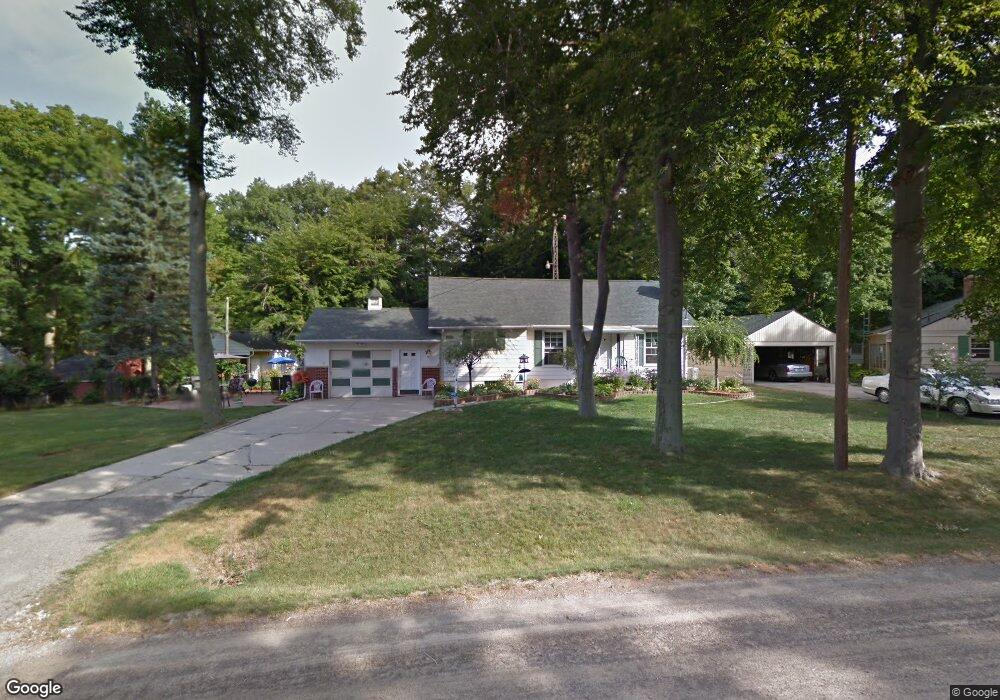
This home is located at 1110 Ronald St, Flint, MI 48507 and is currently estimated at $104,367, approximately $98 per square foot. 1110 Ronald St is a home located in Genesee County with nearby schools including Carman-Ainsworth High School and International Academy of Flint (K-12).
Ownership History
Date
Name
Owned For
Owner Type
Purchase Details
Closed on
Nov 23, 1999
Sold by
Hud
Bought by
Rose Cynthia Lee Leiss
Current Estimated Value
Home Financials for this Owner
Home Financials are based on the most recent Mortgage that was taken out on this home.
Original Mortgage
$64,500
Outstanding Balance
$20,022
Interest Rate
7.97%
Mortgage Type
Purchase Money Mortgage
Estimated Equity
$84,345
Purchase Details
Closed on
Aug 13, 1998
Sold by
Standard Federal Bank
Bought by
Hud
Create a Home Valuation Report for This Property
The Home Valuation Report is an in-depth analysis detailing your home's value as well as a comparison with similar homes in the area
Home Values in the Area
Average Home Value in this Area
Purchase History
| Date | Buyer | Sale Price | Title Company |
|---|---|---|---|
| Rose Cynthia Lee Leiss | -- | First American Title | |
| Hud | -- | Cislo Title Company |
Source: Public Records
Mortgage History
| Date | Status | Borrower | Loan Amount |
|---|---|---|---|
| Open | Rose Cynthia Lee Leiss | $64,500 |
Source: Public Records
Tax History
| Year | Tax Paid | Tax Assessment Tax Assessment Total Assessment is a certain percentage of the fair market value that is determined by local assessors to be the total taxable value of land and additions on the property. | Land | Improvement |
|---|---|---|---|---|
| 2025 | $1,399 | $56,500 | $0 | $0 |
| 2024 | $680 | $55,100 | $0 | $0 |
| 2023 | $1,064 | $51,500 | $0 | $0 |
| 2022 | $689 | $43,000 | $0 | $0 |
| 2021 | $1,235 | $37,300 | $0 | $0 |
| 2020 | $583 | $32,900 | $0 | $0 |
| 2019 | $575 | $29,300 | $0 | $0 |
| 2018 | $1,197 | $27,500 | $0 | $0 |
| 2017 | $1,154 | $27,500 | $0 | $0 |
| 2016 | $1,148 | $24,800 | $0 | $0 |
| 2015 | $965 | $24,900 | $0 | $0 |
| 2014 | $573 | $24,000 | $0 | $0 |
| 2012 | -- | $31,000 | $31,000 | $0 |
Source: Public Records
Map
Nearby Homes
- 3322 Fenton Rd
- 1122 Markham St
- 1210 Pinehurst Ave
- 1125 Ingleside Ave
- 1627 Blackberry Ln
- 1247 Catalina Dr
- 1318 Ingleside Ave
- 3312 Renault Dr
- 1234 Huron St
- 1310 Huron St
- 846 W Hemphill Rd
- 4502 Huckleberry Ln
- 1015 Alvord Ave
- 1310 Alvord Ave
- 1826 Greenbrook Ln
- 912 Huron St
- 1019 E Bristol Rd
- Lot 57 Walnut Creek Dr
- 845 Alvord Ave
- 1121 W Boatfield Ave
- 3311 Tuxedo Ave
- 3312 3312 Phillip Dr
- 3312 Phillip Ave
- 1124 Ronald St
- 3328 Phillip Ave
- 1121 Ronald St
- 3304 Phillip Ave
- 3303 Tuxedo Ave
- 1125 Ronald St
- 3329 Phillip Ave
- 3287 Tuxedo Ave
- 1088 W Decamp St
- 1086 Ronald St
- 1098 W Decamp St
- 3332 Tuxedo Ave
- 1083 Ronald St
- 1076 W Decamp St
- 3342 Tuxedo Ave
- 3327 Tuxedo Ave
- 3295 Phillip Ave
Your Personal Tour Guide
Ask me questions while you tour the home.