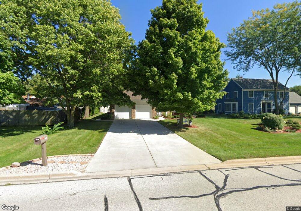
1110 S Raddant Rd Batavia, IL 60510
Southeast Batavia NeighborhoodEstimated Value: $383,000 - $442,000
2
Beds
2
Baths
1,453
Sq Ft
$276/Sq Ft
Est. Value
About This Home
This home is located at 1110 S Raddant Rd, Batavia, IL 60510 and is currently estimated at $401,083, approximately $276 per square foot. 1110 S Raddant Rd is a home located in Kane County with nearby schools including Hoover Wood Elementary School, Sam Rotolo Middle School, and Batavia Sr High School.
Ownership History
Date
Name
Owned For
Owner Type
Purchase Details
Closed on
May 19, 2020
Sold by
Spasojevic Kathy Ann
Bought by
Spasojevic Kathy Ann and Spasojevic Declarati Kathy Ann
Current Estimated Value
Purchase Details
Closed on
Jun 2, 2010
Sold by
Lenkowski Leslie and Lenkowski Juanita L
Bought by
Spasojevic Kathy Ann
Purchase Details
Closed on
Aug 15, 2009
Sold by
Parkway Bank & Trust Company
Bought by
Lenkowski Leslie and Lenkowski Juanita L
Purchase Details
Closed on
Mar 25, 1991
Sold by
Babula Geraldine L
Bought by
Parkway Bank & Trust Company
Create a Home Valuation Report for This Property
The Home Valuation Report is an in-depth analysis detailing your home's value as well as a comparison with similar homes in the area
Home Values in the Area
Average Home Value in this Area
Purchase History
| Date | Buyer | Sale Price | Title Company |
|---|---|---|---|
| Spasojevic Kathy Ann | -- | Attorney | |
| Spasojevic Kathy Ann | $199,000 | Chicago Title Insurance Co | |
| Lenkowski Leslie | $227,500 | Chicago Title Insurance Co | |
| Parkway Bank & Trust Company | -- | -- |
Source: Public Records
Tax History Compared to Growth
Tax History
| Year | Tax Paid | Tax Assessment Tax Assessment Total Assessment is a certain percentage of the fair market value that is determined by local assessors to be the total taxable value of land and additions on the property. | Land | Improvement |
|---|---|---|---|---|
| 2024 | $6,610 | $99,598 | $22,253 | $77,345 |
| 2023 | $6,384 | $90,396 | $20,197 | $70,199 |
| 2022 | $6,416 | $84,483 | $18,876 | $65,607 |
| 2021 | $6,747 | $82,113 | $19,891 | $62,222 |
| 2020 | $6,578 | $80,535 | $19,509 | $61,026 |
| 2019 | $6,465 | $77,684 | $18,818 | $58,866 |
| 2018 | $6,201 | $74,725 | $18,101 | $56,624 |
| 2017 | $6,045 | $72,261 | $17,504 | $54,757 |
| 2016 | $5,911 | $70,156 | $16,994 | $53,162 |
| 2015 | -- | $68,559 | $16,607 | $51,952 |
| 2014 | -- | $66,401 | $16,084 | $50,317 |
| 2013 | -- | $65,105 | $15,770 | $49,335 |
Source: Public Records
Map
Nearby Homes
- 1136 Pine Ct
- 918 S Raddant Rd
- 1335 Chillem Dr
- 941 Stanton St
- 943 Orchard Ct
- 610 Norcross Dr
- 1667 S Raddant Rd
- 509 S Forest Ave
- 473 Bond Dr
- Lot 4 Manchester Ave
- 1148 Miller Ct
- 445 Chillem Dr
- 860 S River St
- 604 S Van Buren St
- 532 S Van Buren St
- 316 Locust St
- 121 S Raddant Rd
- Lot 1 Center St
- 733 Wind Energy Pass
- 129 S Prairie St
- 1120 S Raddant Rd
- 1006 Chillem Dr
- 1014 Chillem Dr
- 34W304 Sunset Dr
- 1022 Chillem Dr
- 34W288 Sunset Dr
- 34W333 Sunset Dr
- 1028 Chillem Dr
- 1072 S Raddant Rd
- 34W270 Sunset Dr
- 34W305 Sunset Dr
- 1036 Chillem Dr
- 1136 S Raddant Rd
- 1025 Chillem Dr
- 34W287 Sunset Dr
- 34W254 Sunset Dr
- 1064 S Raddant Rd
- 1102 Chillem Dr
- 34W271 Sunset Dr Unit 1
- 1063 Willow Ln